g.yas ru (right horn)
Satellite Photo: Google|DigitalGlobe (10/24/2016); edited by Hazod 2017
Fig. 1 The burial mound sites (red symbols) of Shangs and neighbouring districts of Lower Right Horn, present-day Rnam gling County
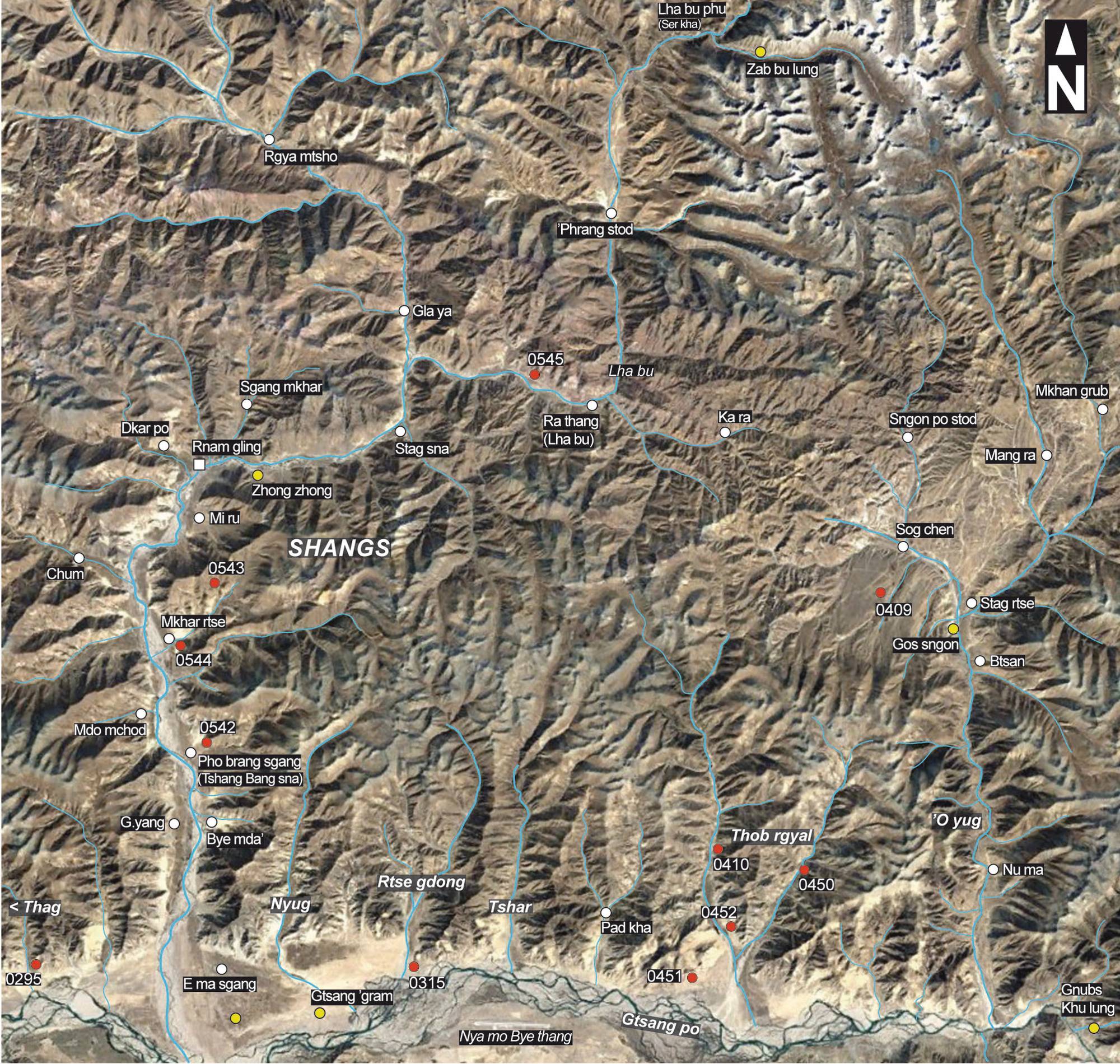
Fig. 1: The burial mound sites (red symbols) of Shangs and neighbouring districts of Lower Right Horn, present-day Rnam gling County (Satellite Photo: Google|DigitalGlobe (10/24/2016); edited by Hazod 2017)
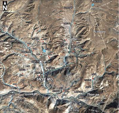
Satellite Photo: Google|DigitalGlobe (12/16/2013); edited by Hazod 2017
Fig. 2 The burial mound sites (red symbols) of Snye mo and Gzhu in the boarder area between G.yas ru and Dbu ru
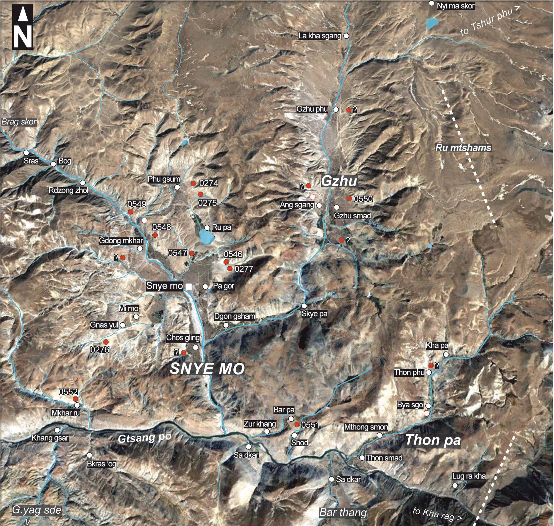
Fig. 2: The burial mound sites (red symbols) of Snye mo and Gzhu in the boarder area between G.yas ru and Dbu ru (Satellite Photo: Google|DigitalGlobe (12/16/2013); edited by Hazod 2017)
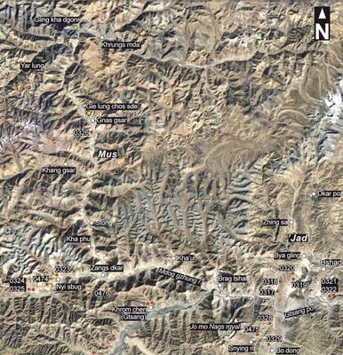
Satellite Photo: Google|DigitalGlobe (11/2010); edited by Hazod 2017
Fig. 3 The central part of Upper G.yas ru and neighbouring districts (red symbol = burial mound site)
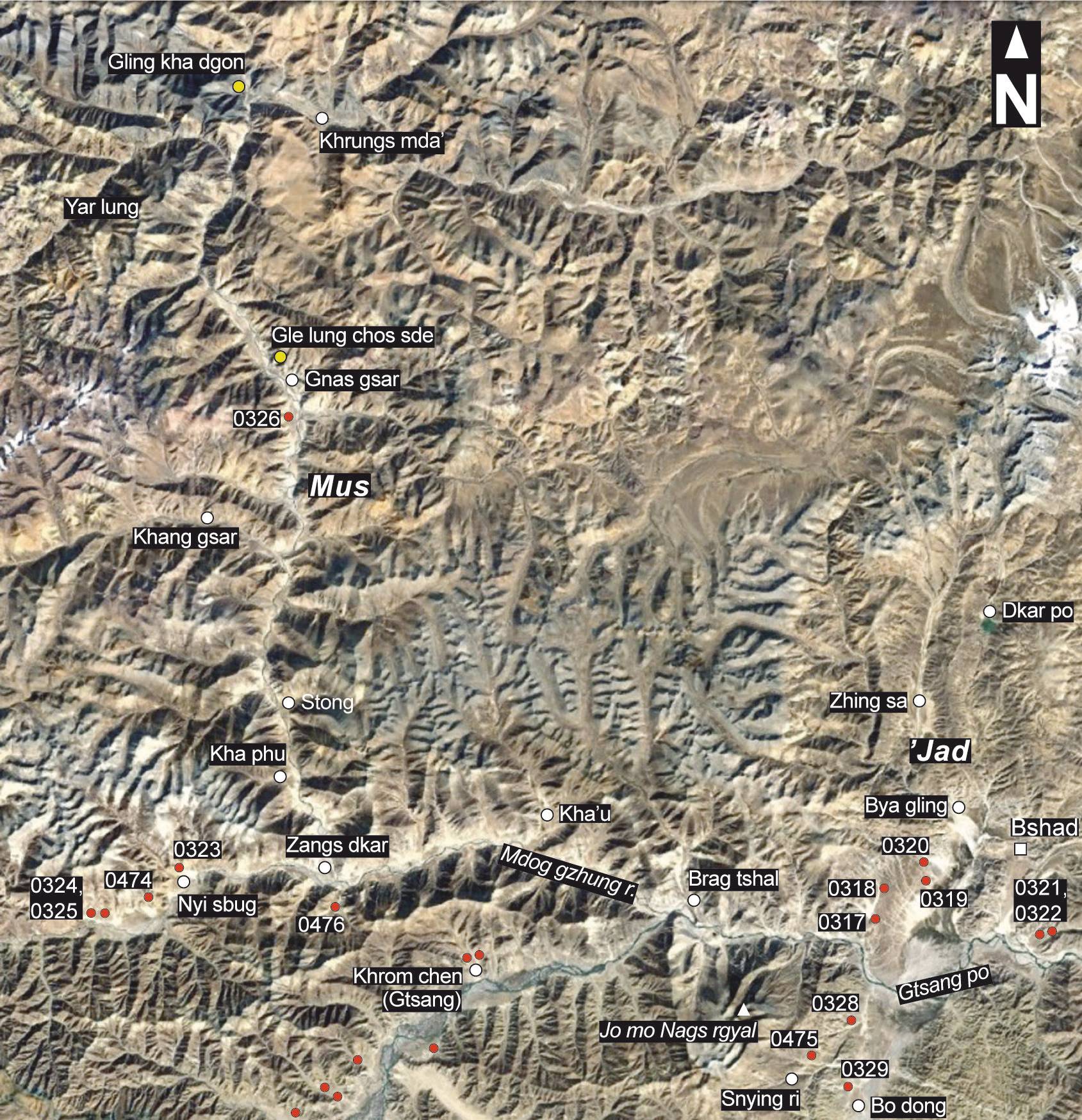
Fig. 3: The central part of Upper G.yas ru and neighbouring districts (red symbol = burial mound site) (Satellite Photo: Google|DigitalGlobe (11/2010); edited by Hazod 2017)
