#0001: Yar -1 [Major Site]
- Town/Township
- Rtse thang
- Coordinates
- 29°12'36", 91°47'32"
- Elevation
- 3635m
- Field Type
- FT-A
- Mound Type
- MT-C (45m)
- Additional Classification
- major site, single tomb, 100+ tombs
- Status
- v(2013, 2014)
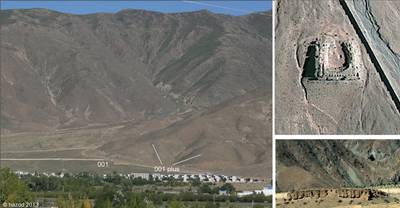
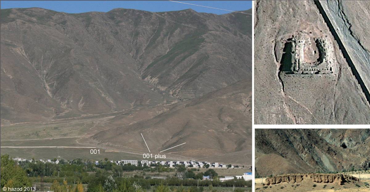
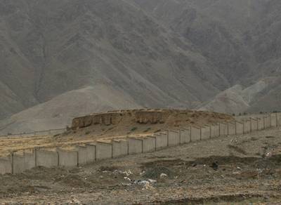
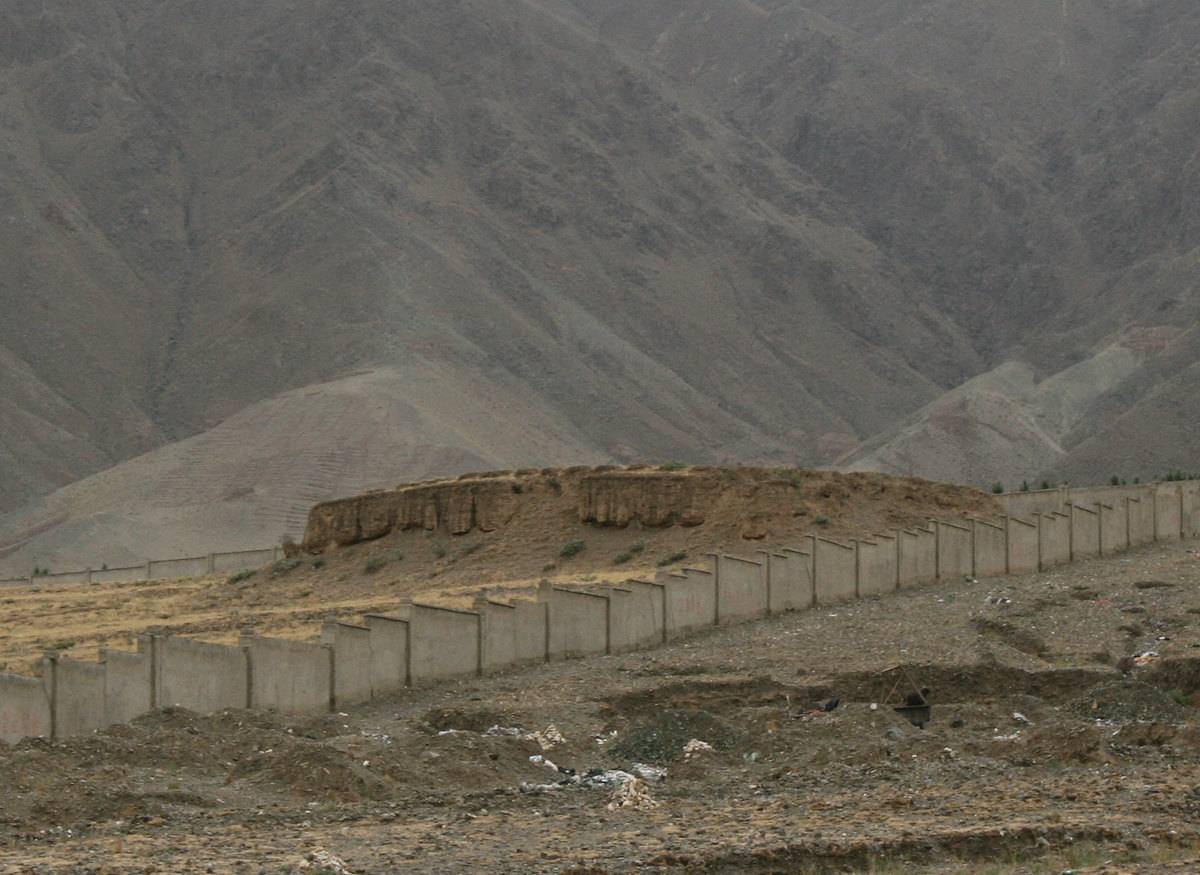
The (walled) tomb of Rtse thang (#0001). It is located in the area of Cong, a toponym locally recorded in connection with events in Khra 'brug of the 8th cent. (TF 114, <i>et passim</i>; for a first description of the tomb, see Chan 1994: 363.)
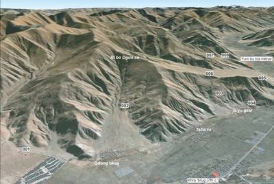
Satellite Photo: Google|DigitalGlobe (06/2011); edited by G. Hazod 2014
Fig. 1 The eastern half of Lower Yar, with the grave fields of #0001 – #0008.
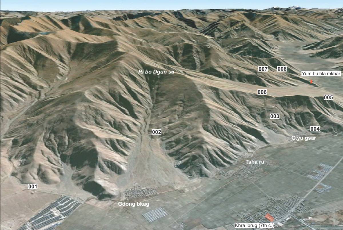
Fig. 1: The eastern half of Lower Yar, with the grave fields of #0001 – #0008. (Satellite Photo: Google|DigitalGlobe (06/2011); edited by G. Hazod 2014)
