#0105: Skyid khu [Major Site]
- Town/Township
- Bya ra mdo
- Coordinates
- 29°47'42", 91°52'30"
- Elevation
- 4200m
- Field Type
- FT-B
- Mound Type
- MT-C (40m)
- Additional Classification
- major site
- Status
- v(2013, 2014)
The grave field 105 is located in a side valley of eastern Mal gro, on the hill locally known as sa'i 'bum pa dmar ri ("mountain with the red earth stupas"). In the same side valley the monastery of 'Chad kha is located (found. 12th cent.), next to the field 104.
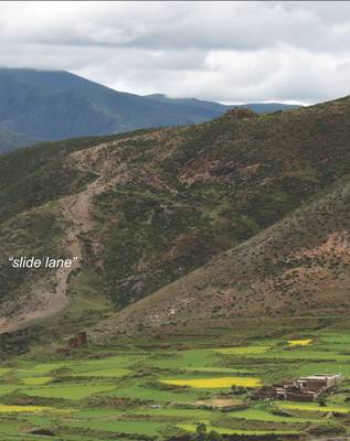
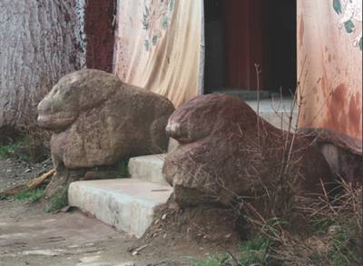
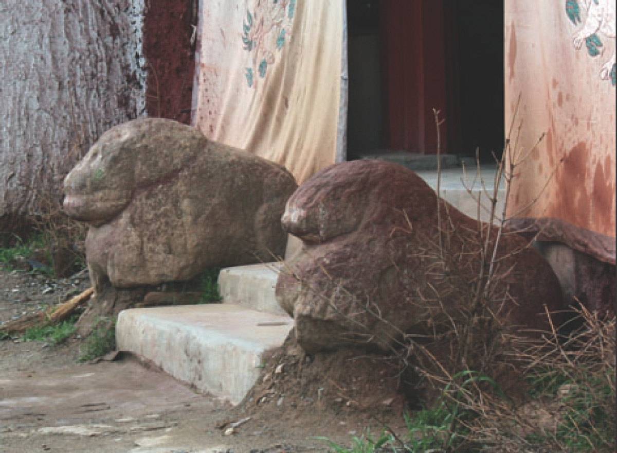
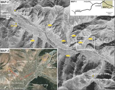
The two stone lions at the entrance to the main temple of this monastery are said originally to have been at the main tomb of field 105 (105.M-1). It says a shepherd had once found the stones, which he slid down the mountain, hence this "slide lane" on the mountain and the broken state of the two figures. A shrine was erected near the village below, where the lions were kept for a longer period before they were brought up to 'Chad kha dgon a few years ago. We regard this local account of the lions‘ original site as being most reliable, which also means that M-1 of 105 represents a third imperial-era "lion grave" that can now be registered for Central Tibet. (The other two refer to graves in 'Phyong rgyas and Khrom chen (032, 339; see Hazod forthcoming, "The grave lions of 'Chad kha. On new findings of stone monuments in Central Tibet from the imperial period ").
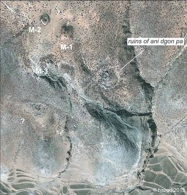
Satellite Photo: Google|DigitalGlobe (12/2010); edited by G. Hazod 2013
Fig. 1 Satellite photo of the area.

Fig. 1: Satellite photo of the area. (Satellite Photo: Google|DigitalGlobe (12/2010); edited by G. Hazod 2013)
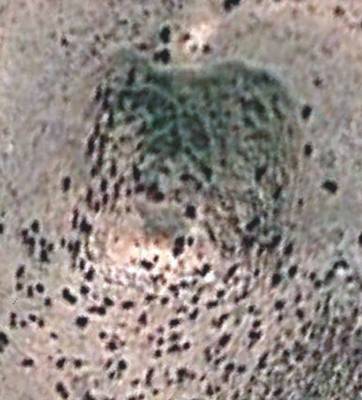
Satellite Photo: Google|DigitalGlobe (12/2010)
Fig. 4
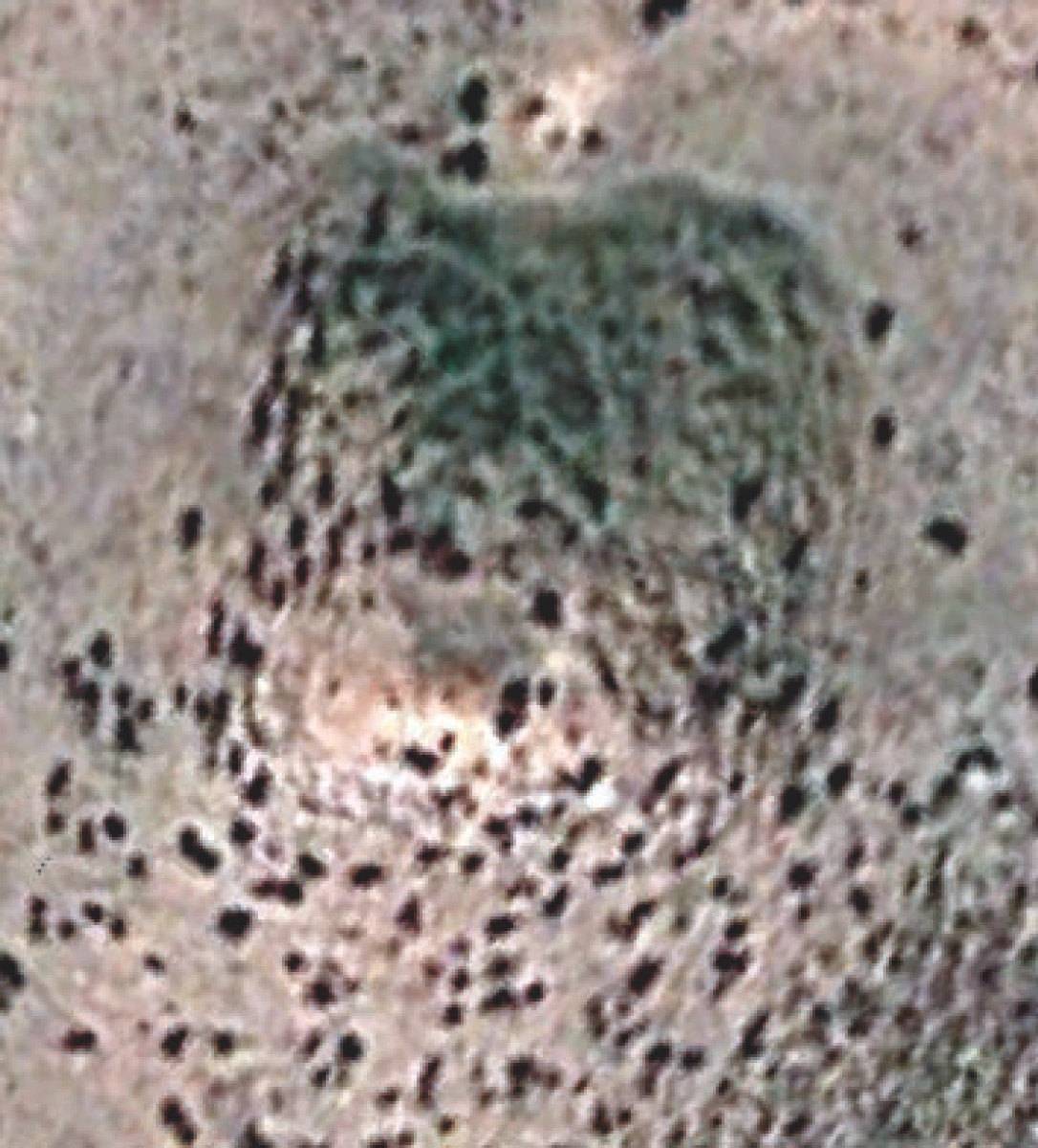
Fig. 4: (Satellite Photo: Google|DigitalGlobe (12/2010))
Satellite Photo: Google|DigitalGlobe (12/2010); edited by G. Hazod 2014
Fig. 6 Map-1 – 3. Eastern Medro and the sites around Chékha monastery. (Sigla: Yellow symbols = imperial eara sites, yellow circle segments = imperial era grave fields; red arrows = the way of the lions.
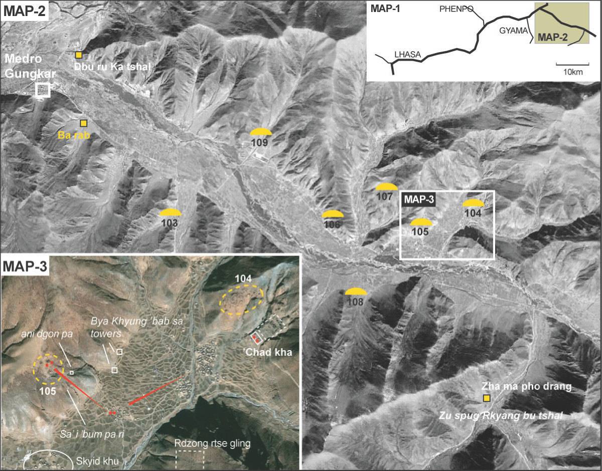
Fig. 6: Map-1 – 3. Eastern Medro and the sites around Chékha monastery. (Sigla: Yellow symbols = imperial eara sites, yellow circle segments = imperial era grave fields; red arrows = the way of the lions. (Satellite Photo: Google|DigitalGlobe (12/2010); edited by G. Hazod 2014)
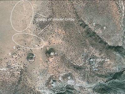
Photo: G. Hazod 2014
Fig. 7 The grave field #0105.
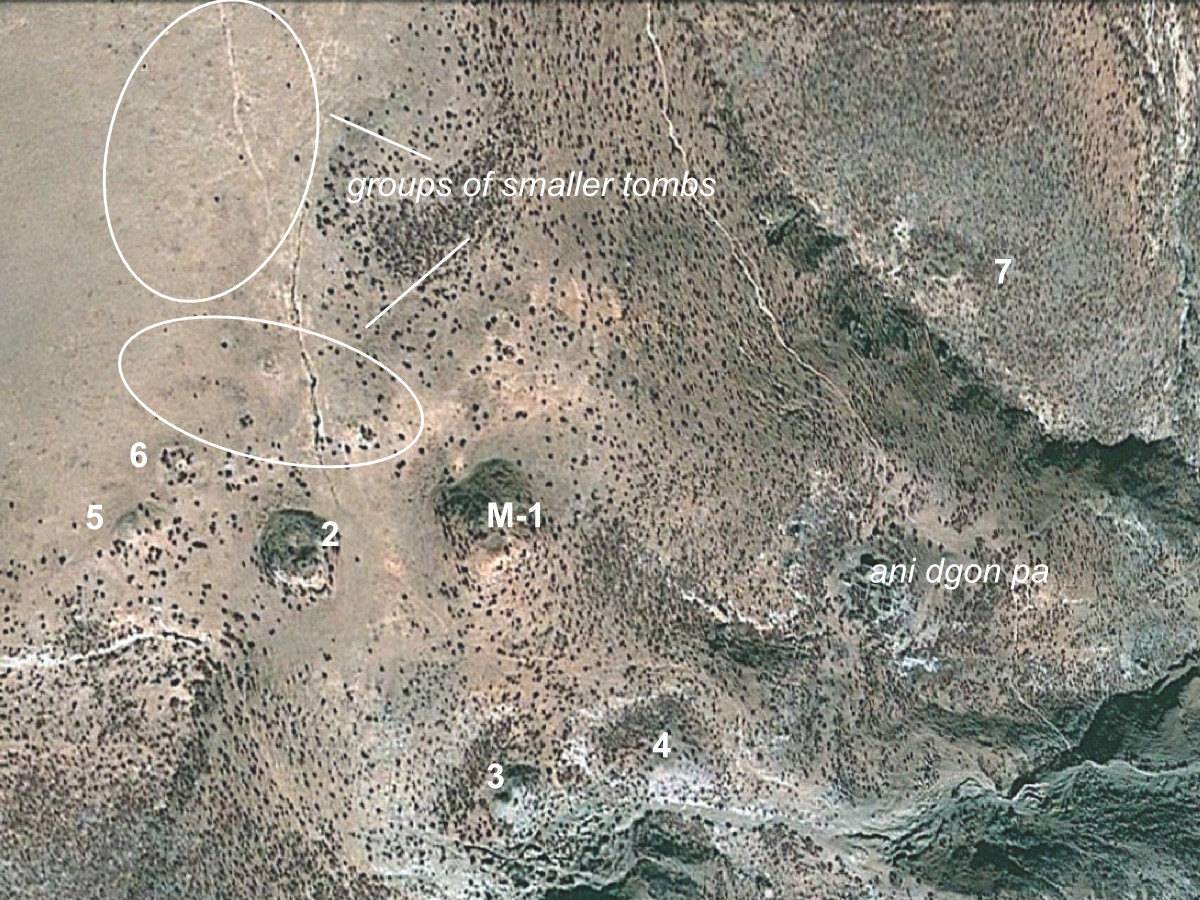
Fig. 7: The grave field #0105. (Photo: G. Hazod 2014)
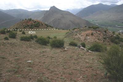
Photo: G. Hazod 2014
Fig. 8 #0105.M-1 and M-2, seen from the north.
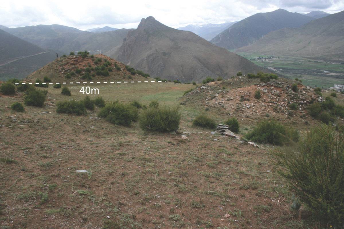
Fig. 8: #0105.M-1 and M-2, seen from the north. (Photo: G. Hazod 2014)
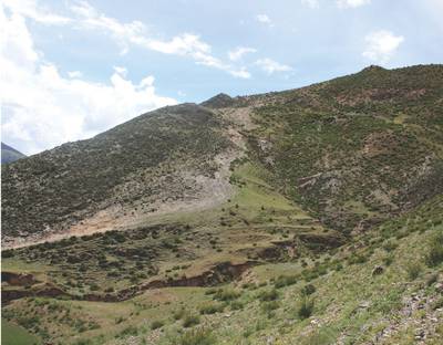
Photo: G. Hazod 2014
Fig. 9 The "slide lane" on the Sa'i 'bum pa dmar ri, with the tombs of M-1 and M-4 on top of the hill.
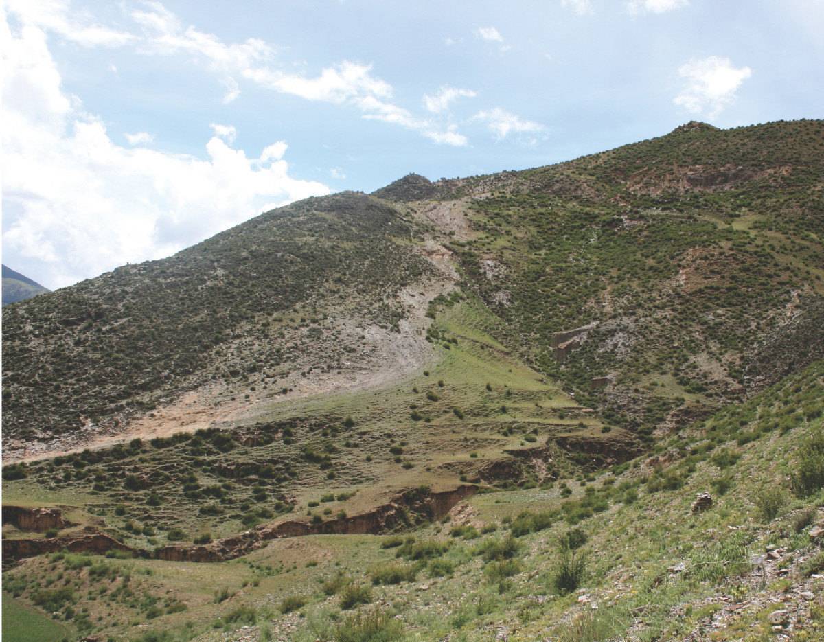
Fig. 9: The "slide lane" on the Sa'i 'bum pa dmar ri, with the tombs of M-1 and M-4 on top of the hill. (Photo: G. Hazod 2014)
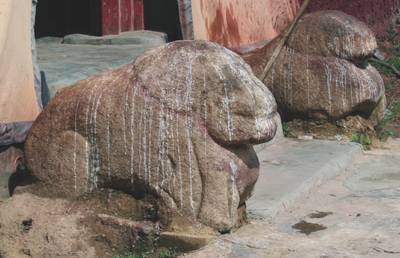
Photo: G. Hazod 2014
Fig. 10 The grave lions of #0105.M-1.
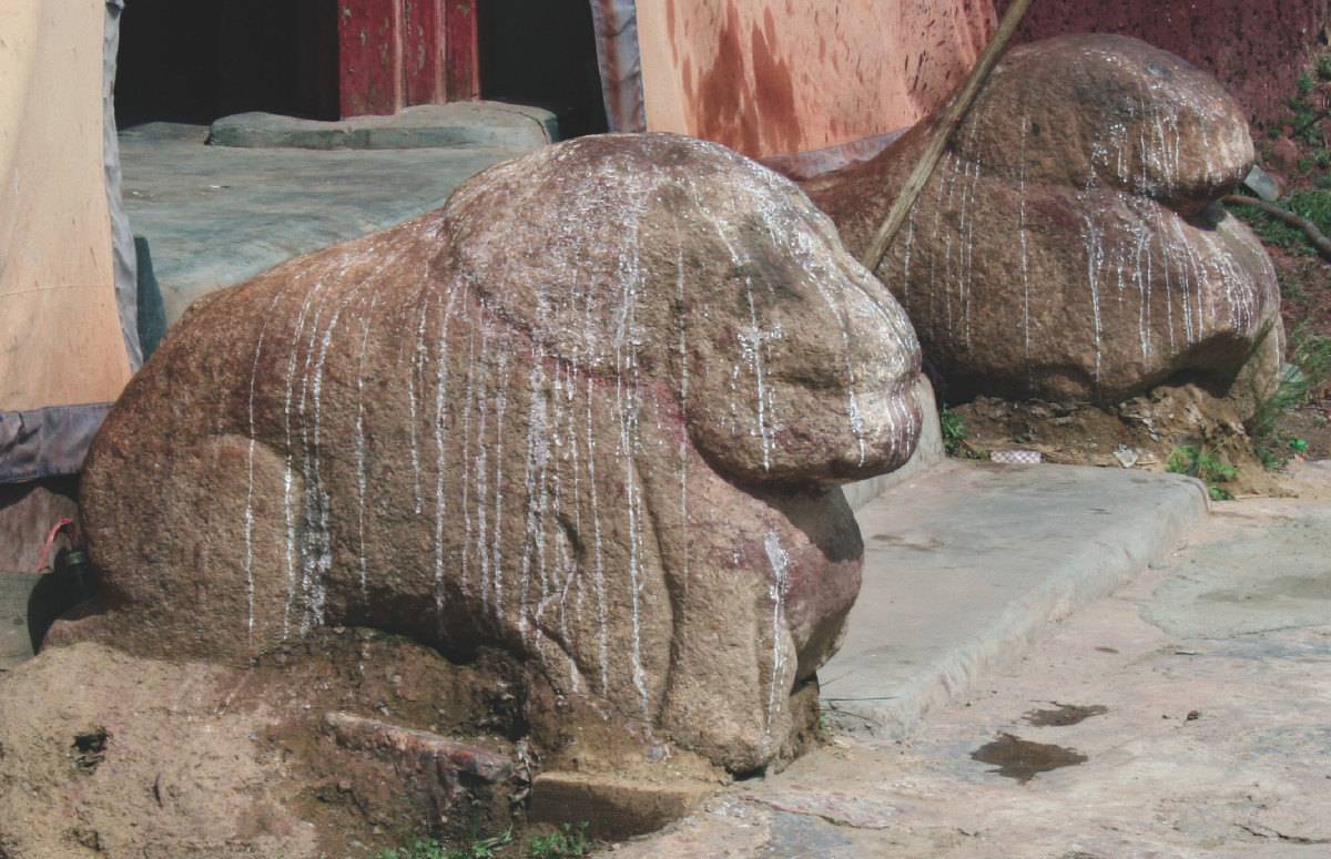
Fig. 10: The grave lions of #0105.M-1. (Photo: G. Hazod 2014)
Photo: G. Hazod 2014
Fig. 11 The place partly paved some stones at the left corner of M-1's (SE-facing) front may have been the location of one of the lions.
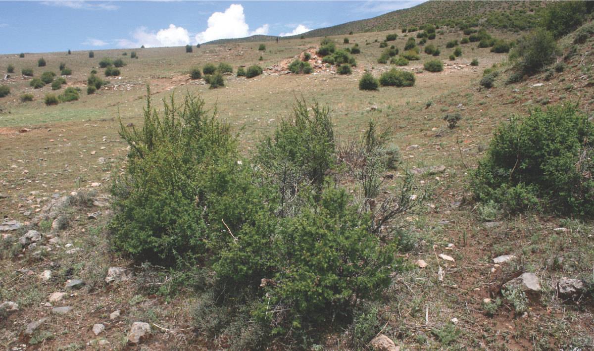
Fig. 11: The place partly paved some stones at the left corner of M-1's (SE-facing) front may have been the location of one of the lions. (Photo: G. Hazod 2014)
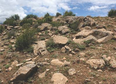
Photo: G. Hazod 2014
Fig. 12 The boulders lying around #0105.M-1 are probably the same stone used for the lions (granite).
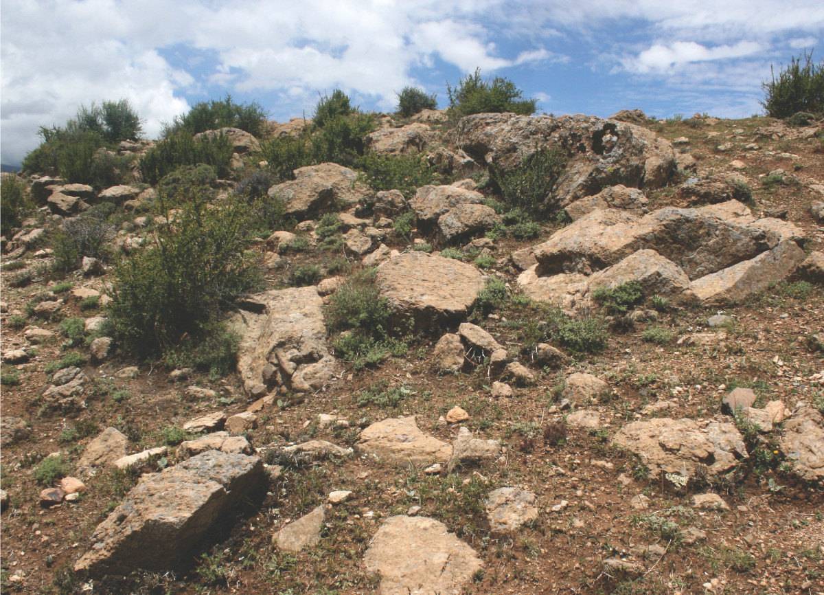
Fig. 12: The boulders lying around #0105.M-1 are probably the same stone used for the lions (granite). (Photo: G. Hazod 2014)
Photo: G. Hazod 2014
Fig. 13 On top of #0105.M-1.
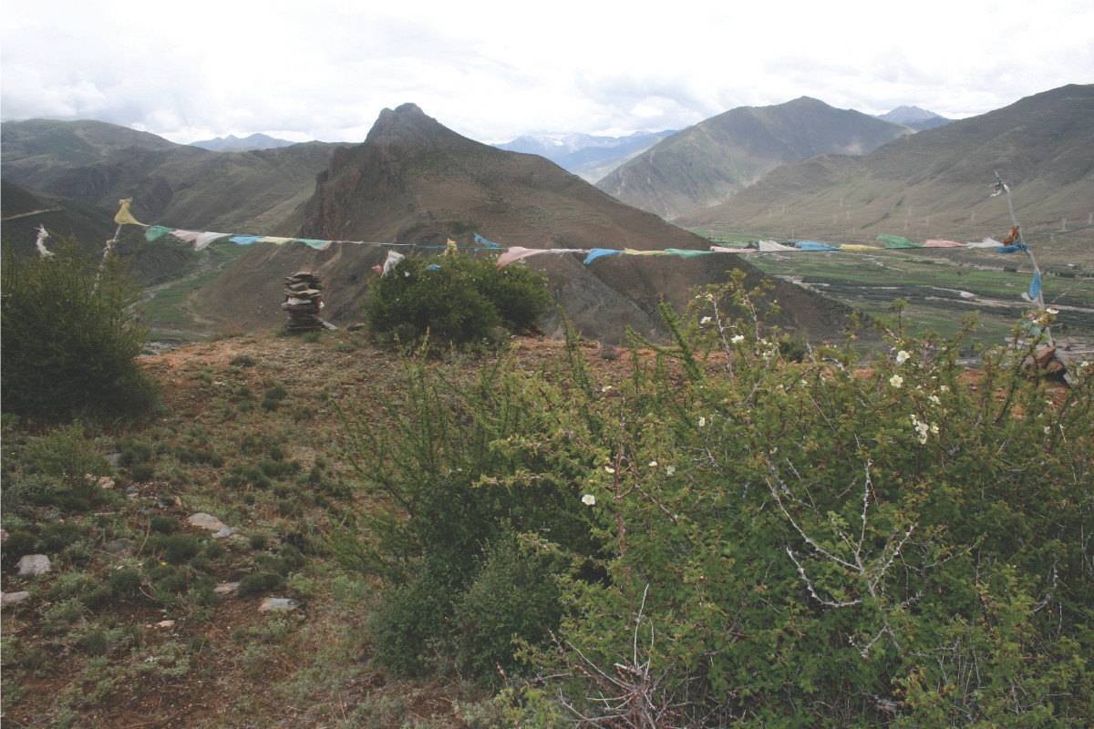
Fig. 13: On top of #0105.M-1. (Photo: G. Hazod 2014)
Photo: G. Hazod 2014
Fig. 14 Smaller burial mounds behind M-2 (Fig. 7).
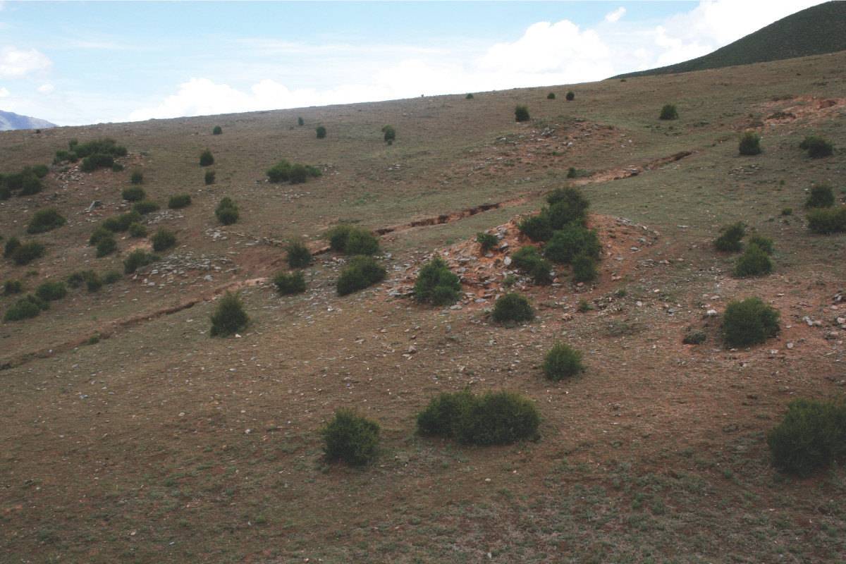
Fig. 14: Smaller burial mounds behind M-2 (Fig. 7). (Photo: G. Hazod 2014)
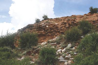
Photo: G. Hazod 2014
Fig. 15 Details of the wall construction of M-1.

Fig. 15: Details of the wall construction of M-1. (Photo: G. Hazod 2014)

Photo: G. Hazod 2014
Fig. 16 he burial mound M-2 and M-5. Note the red colour of the rammed earth; it may be related to the tombs‘ local characterisation as "red earth 'bum pa".
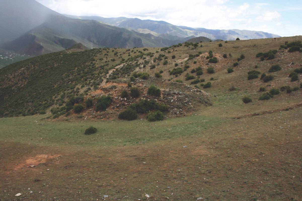
Fig. 16: he burial mound M-2 and M-5. Note the red colour of the rammed earth; it may be related to the tombs‘ local characterisation as "red earth 'bum pa". (Photo: G. Hazod 2014)
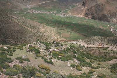
Photo: G. Hazod 2014
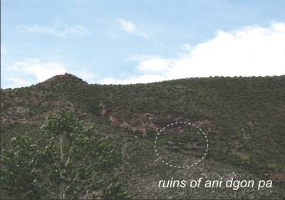
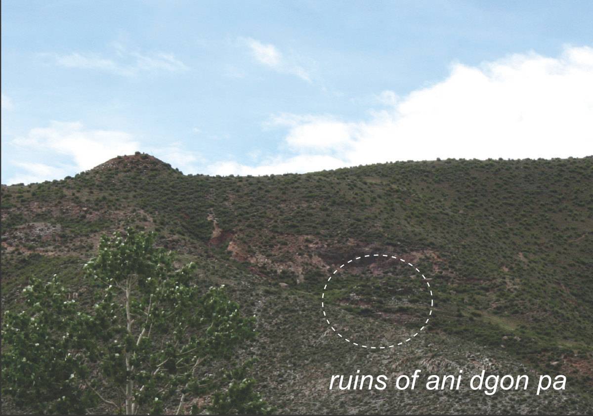
Fig. 17 The ruins of the "ani dgon pa" below 105. Further below the ruins of one of the Bya khyung 'bab sa towers (Fig. 18) can be seen; in the background the monastery of 'Chad kha.
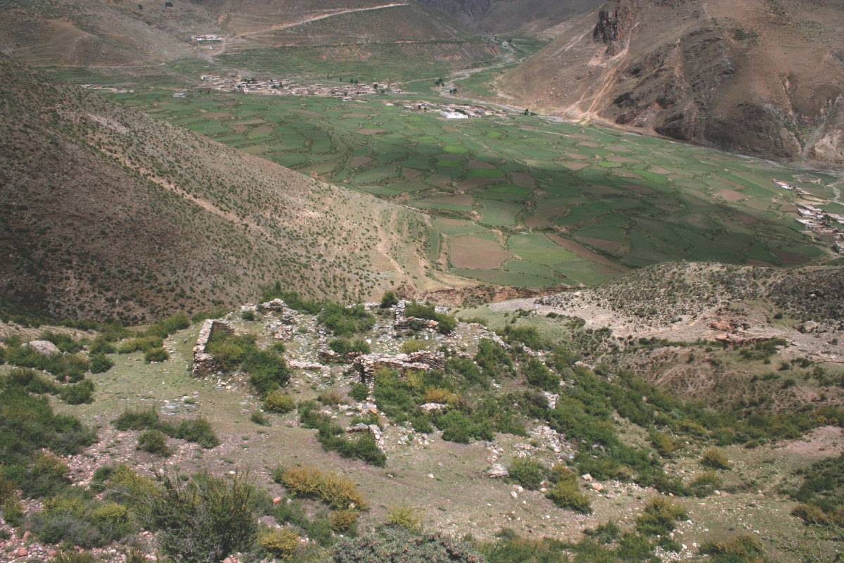
Fig. 17: The ruins of the "ani dgon pa" below 105. Further below the ruins of one of the Bya khyung 'bab sa towers (Fig. 18) can be seen; in the background the monastery of 'Chad kha. (Photo: G. Hazod 2014)
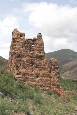
Photo: G. Hazod 2014
Fig. 18 Bya khyung 'bab sa; the ruin belonged to a goup of originally six towers, probably related to a local rule of the early post-imperial time.
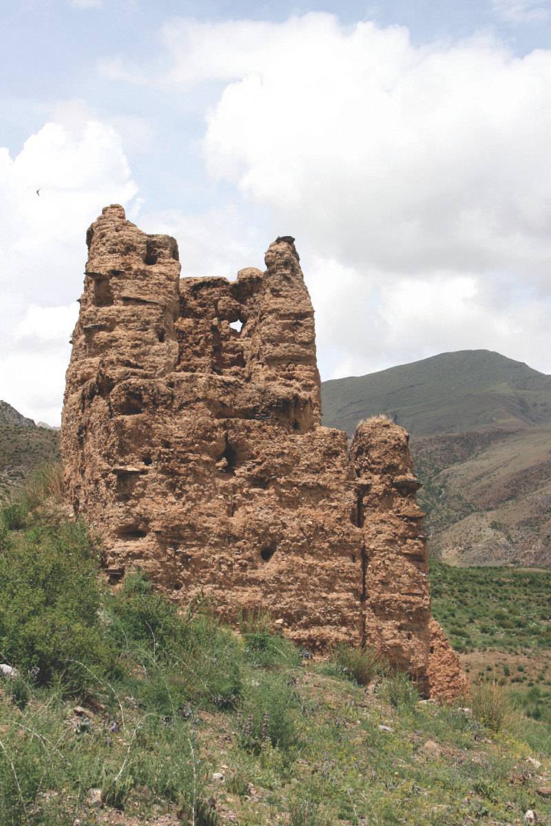
Fig. 18: Bya khyung 'bab sa; the ruin belonged to a goup of originally six towers, probably related to a local rule of the early post-imperial time. (Photo: G. Hazod 2014)
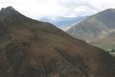
Photo: G. Hazod 2014
Fig. 19 The ruined site locally known as Dzongtseling (Rdzong Rtse gling?) situated on the hill opposite the Sa'i 'bum pa dmar ri (Fig. 6).

Fig. 19: The ruined site locally known as Dzongtseling (Rdzong Rtse gling?) situated on the hill opposite the Sa'i 'bum pa dmar ri (Fig. 6). (Photo: G. Hazod 2014)
