#0109: Mal gro-8
- Town/Township
- Bya ra mdo
- Coordinates
- 29°49'02", 91°48'47"
- Elevation
- 3960m
- Field Type
- FT-A, FT-B
- Mound Type
- MT-C (25m)
- Additional Classification
- 100+ tombs, additional mounds in vicinity
- Status
- nv(sat)
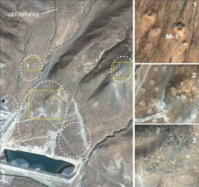
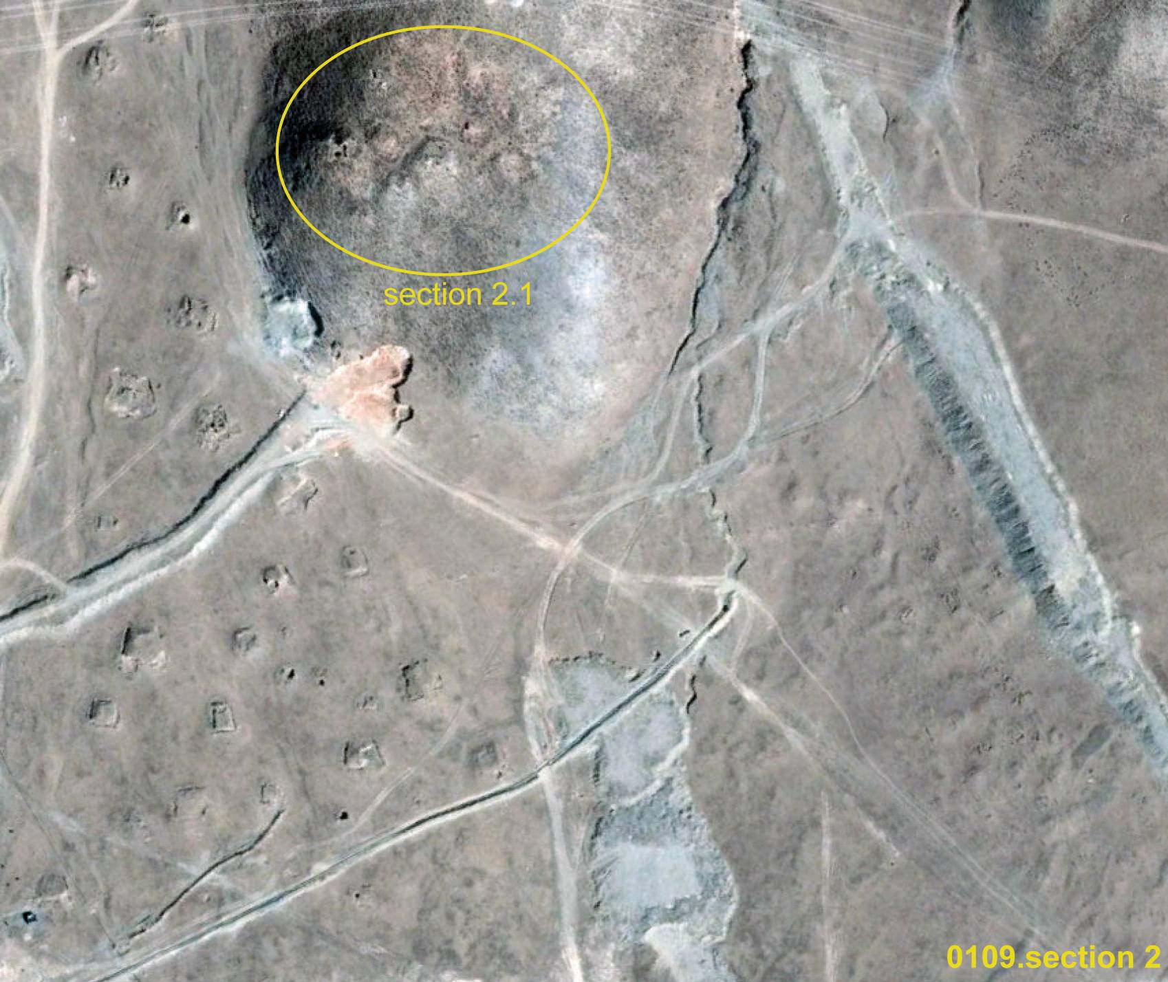
Satellite Photo: Google|DigitalGlobe (12/2010); edited by G. Hazod 2014
Fig. 1
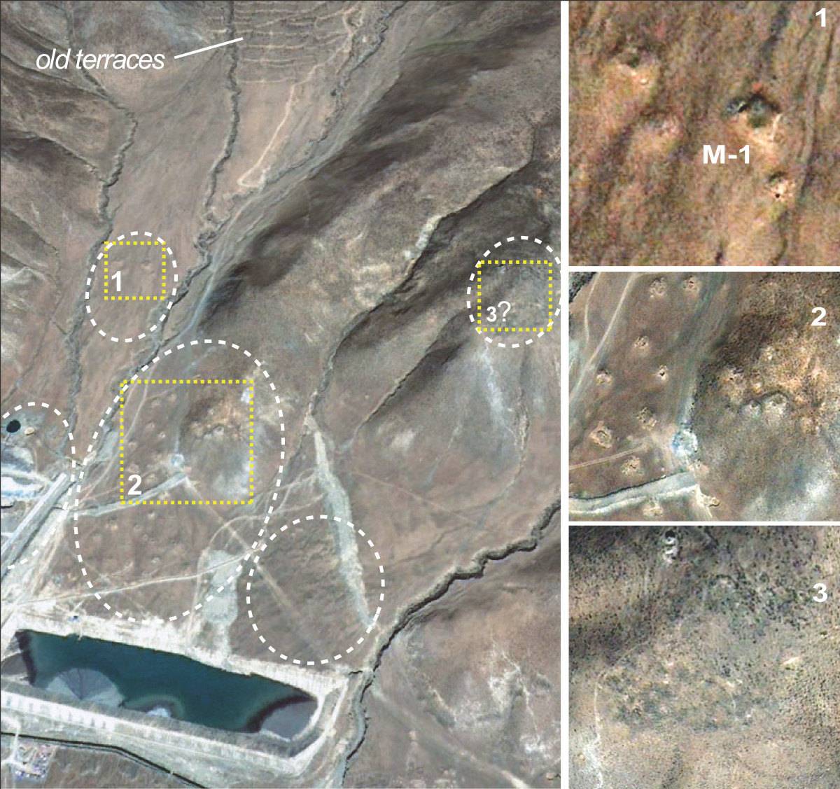
Fig. 1: (Satellite Photo: Google|DigitalGlobe (12/2010); edited by G. Hazod 2014)
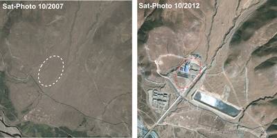
Satellite Photo: Google|DigitalGlobe (10/2007 & 12/2010); edited by G. Hazod 2014
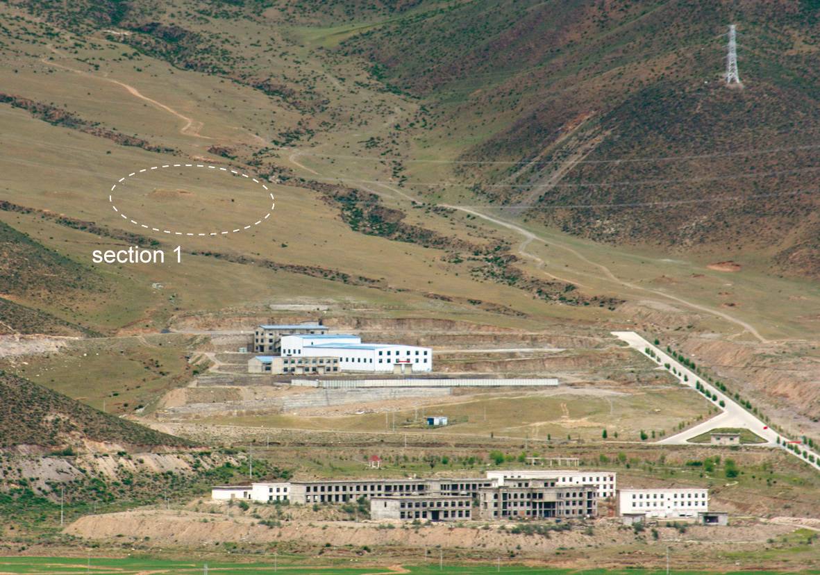
Fig. 2 Historical satellite imagery: The circle indicates the section of the grave field, which has disappeared after the factory construction.
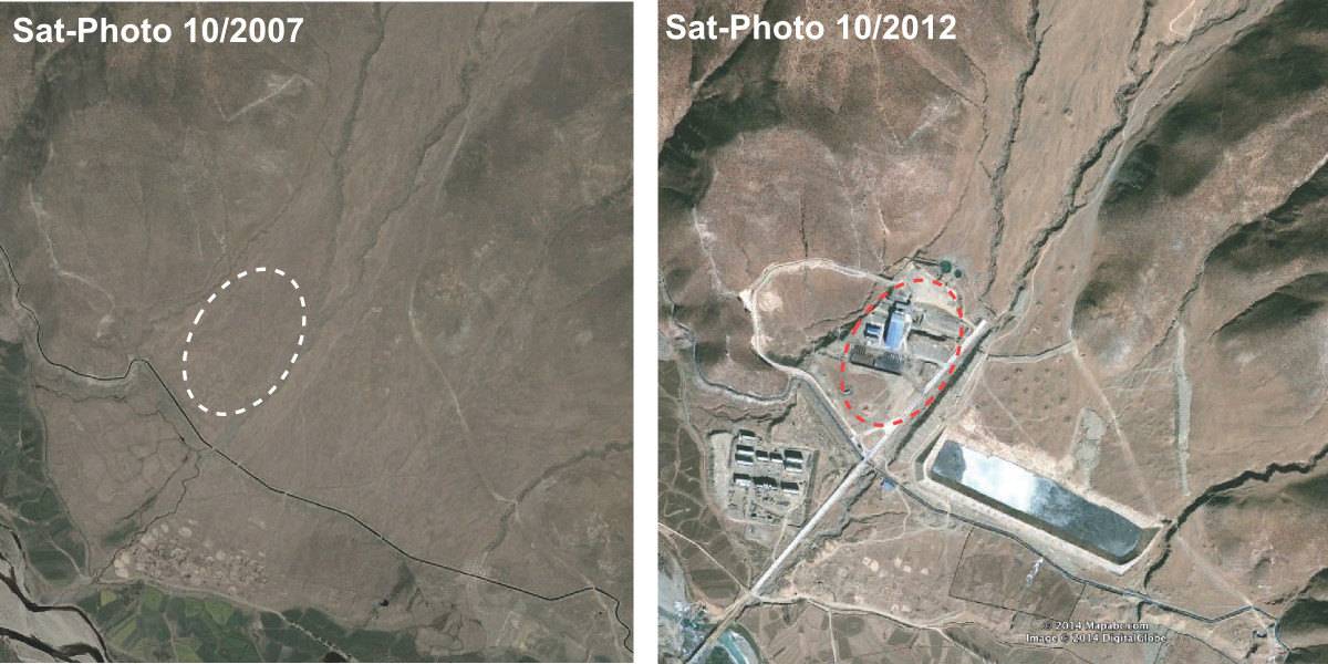
Fig. 2: Historical satellite imagery: The circle indicates the section of the grave field, which has disappeared after the factory construction. (Satellite Photo: Google|DigitalGlobe (10/2007 & 12/2010); edited by G. Hazod 2014)
