#0112: Thong khis [Major Site]
- Town/Township
- Spang mda’
- Coordinates
- 29°55'08", 91°51'16"
- Elevation
- 4030m
- Field Type
- FT-A, FT-B
- Mound Type
- MT-C (50m)
- Additional Classification
- major site
- Status
- v(2008, 2010, 2013)
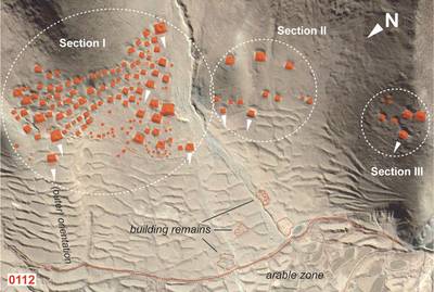
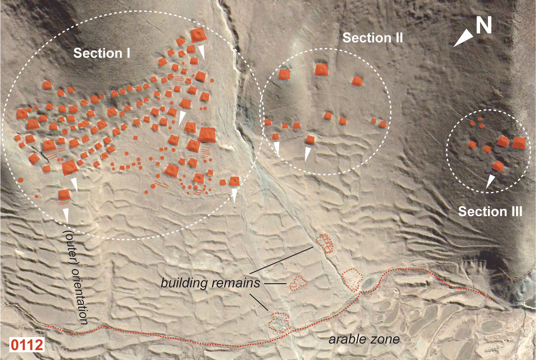
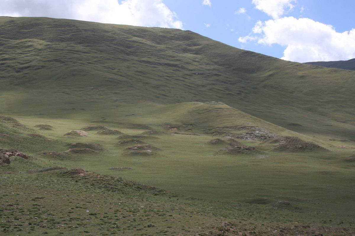
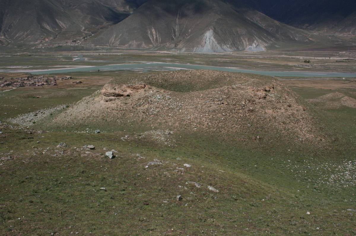
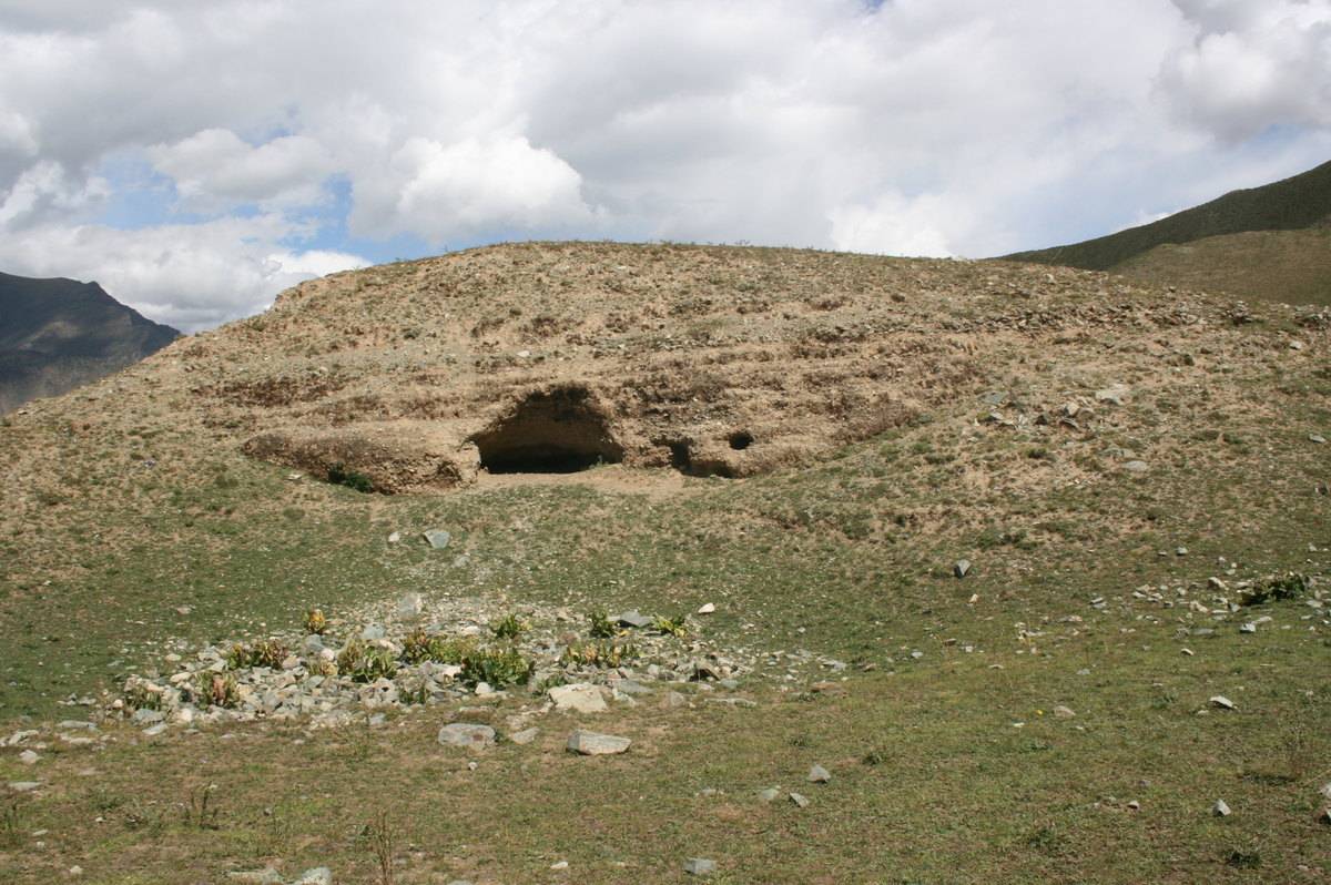
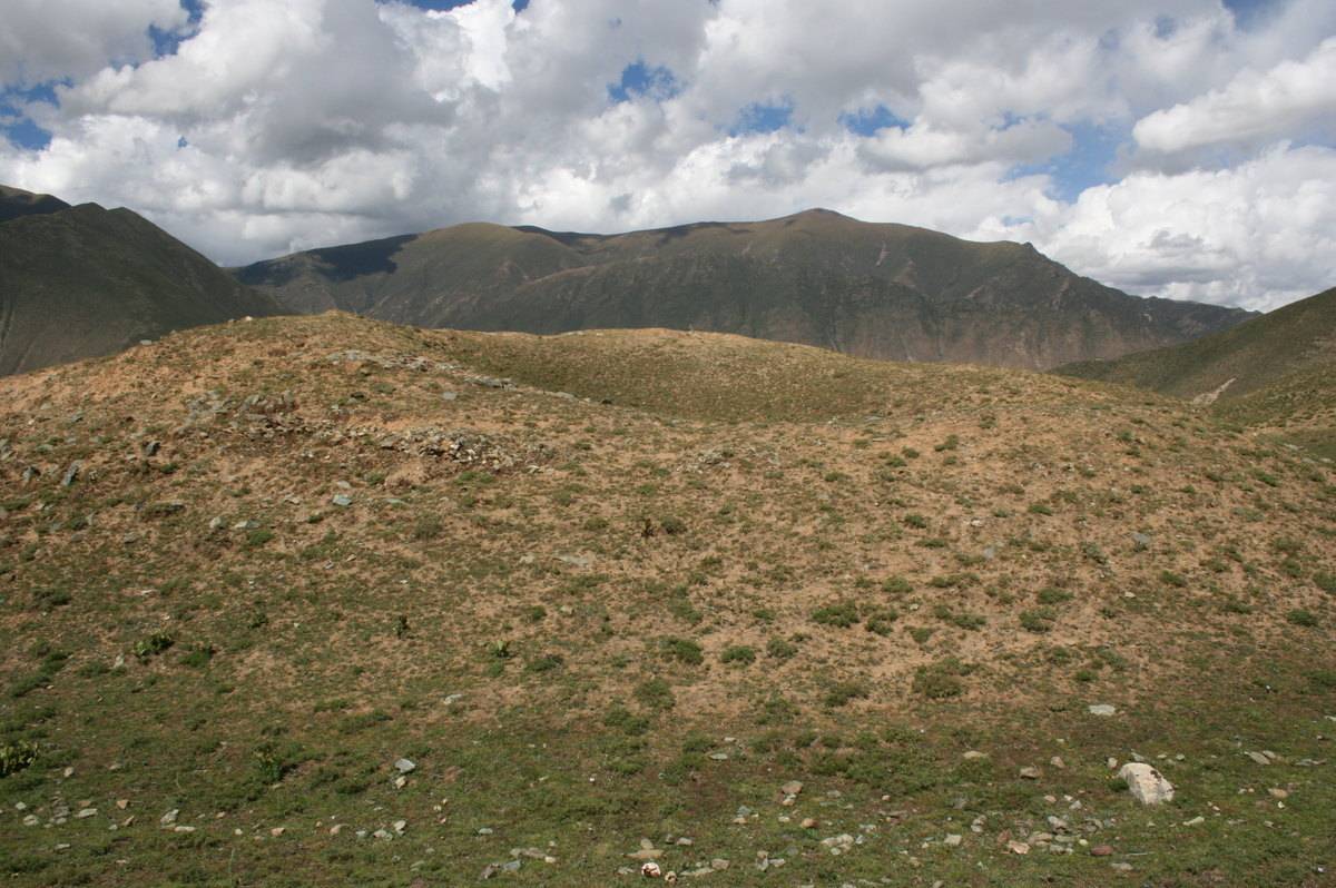
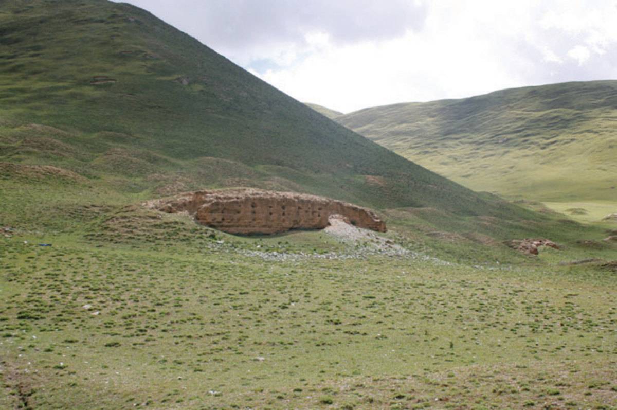
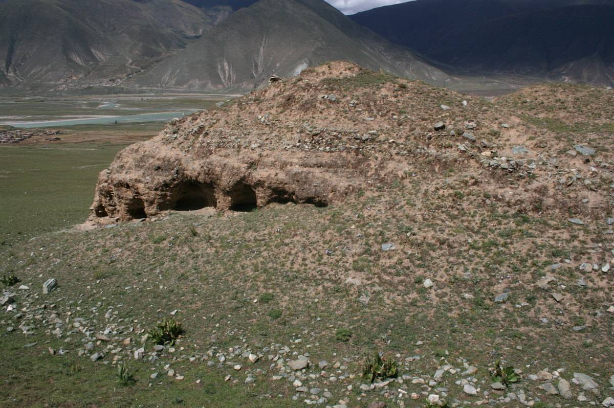
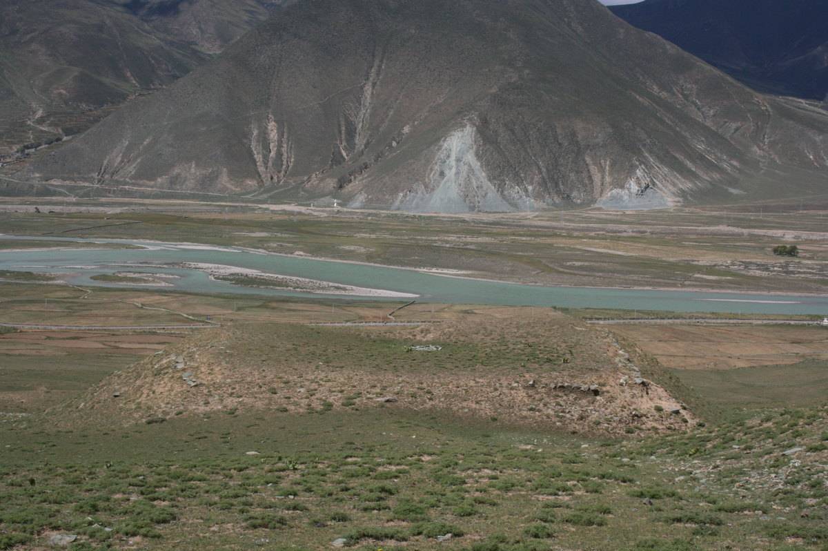
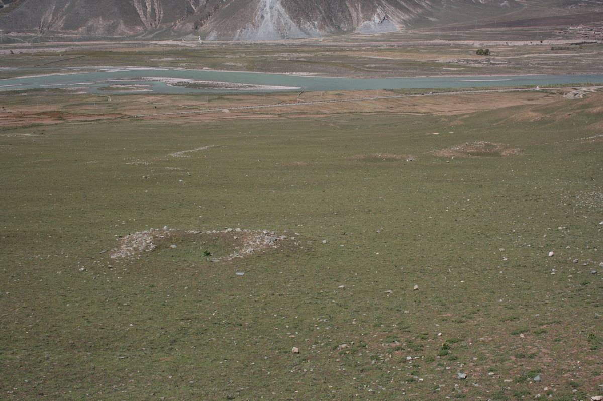
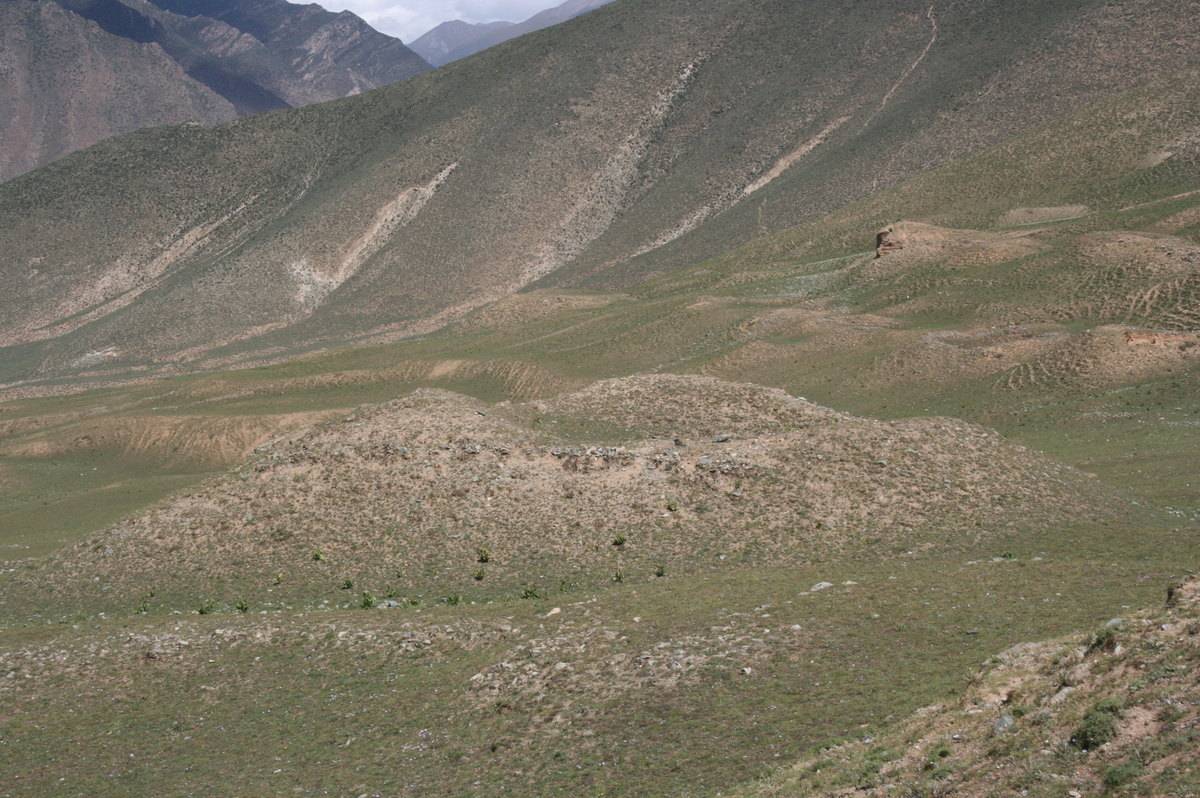
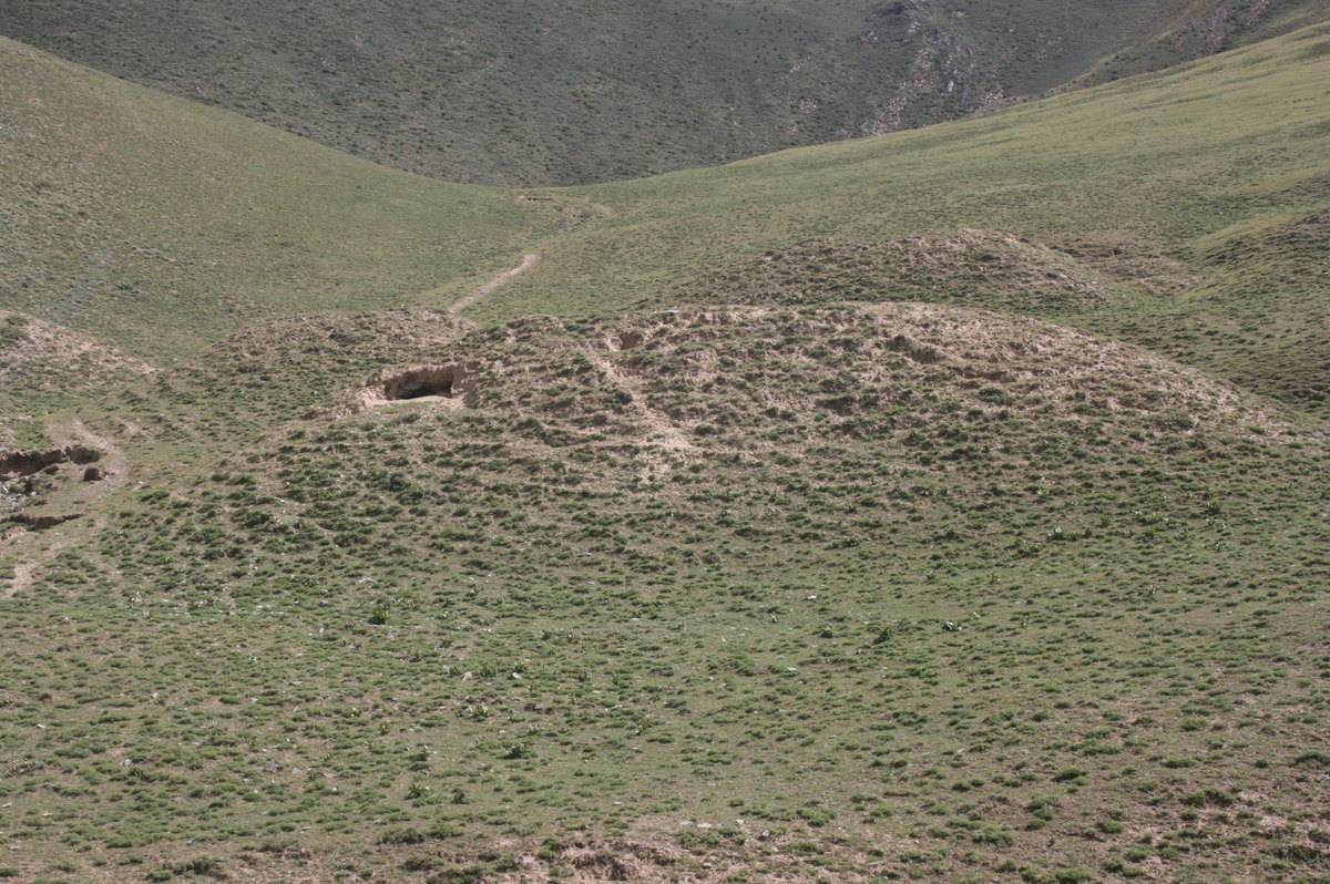
The field of Thong khis (#0112), with c.170 tombs. Note that several of the major structures apparently are combinations of two or more individual tombs. The dotted circles indicate smaller, round-shaped mounds, possibly the remains of a much older cemetery.
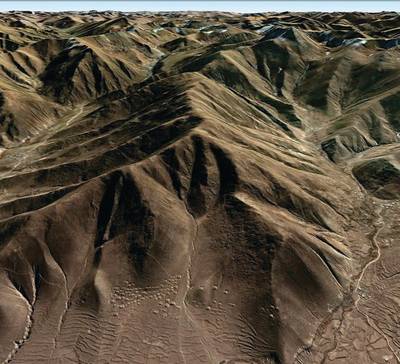
Satellite Photo: Google|DigitalGlobe (11/2010)
Fig. 1

Fig. 1: (Satellite Photo: Google|DigitalGlobe (11/2010))
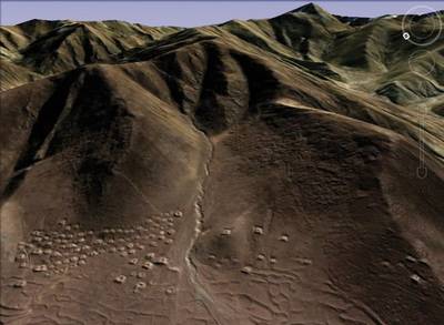
Satellite Photo: Google|DigitalGlobe (11/2010)
Fig. 2
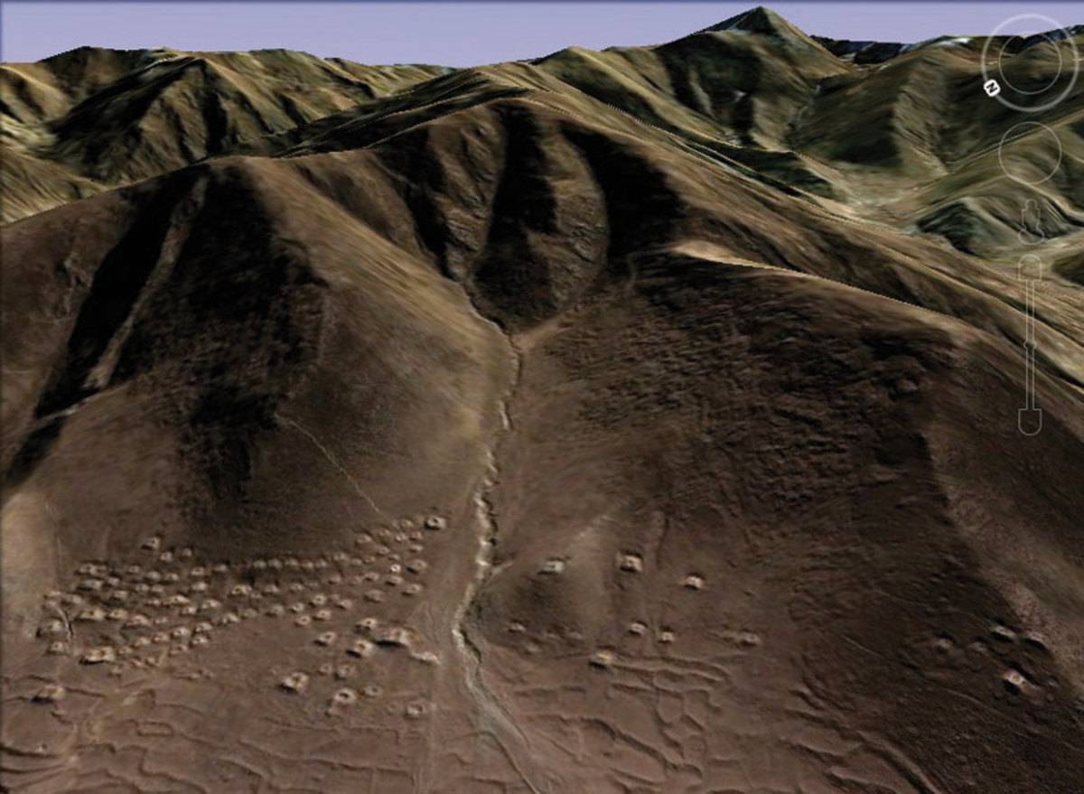
Fig. 2: (Satellite Photo: Google|DigitalGlobe (11/2010))
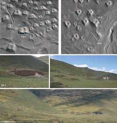
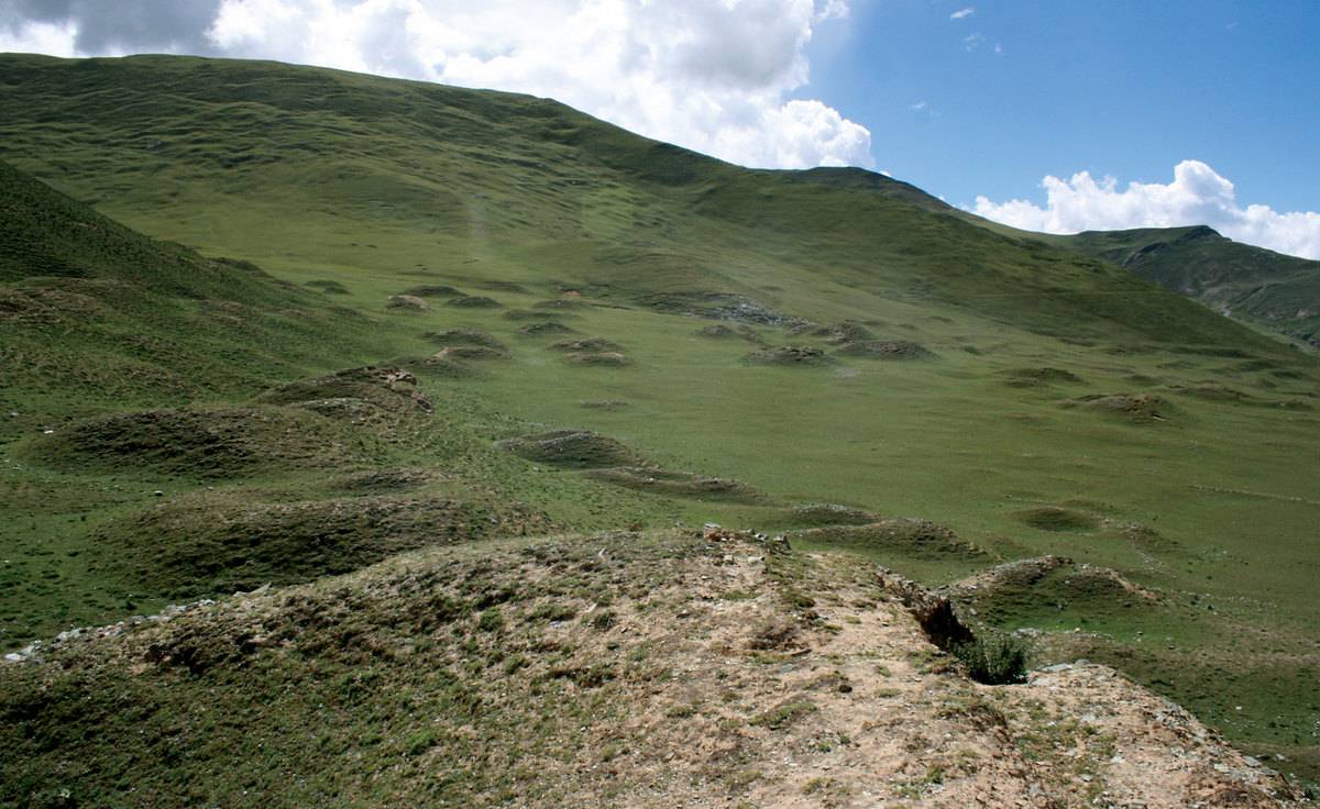
Photo: G. Hazod 2009/10; Satellite Photo: Google|DigitalGlobe (11/2010); edited by G. Hazod 2013
Fig. 3

Fig. 3: (Photo: G. Hazod 2009/10; Satellite Photo: Google|DigitalGlobe (11/2010); edited by G. Hazod 2013)
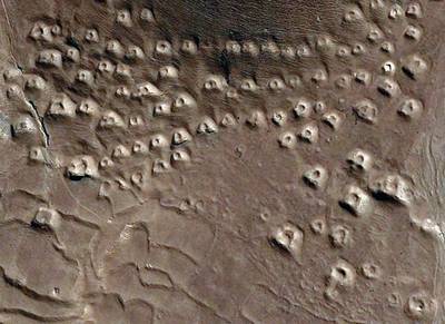
Satellite Photo: Google|DigitalGlobe (11/2010)
Fig. 4
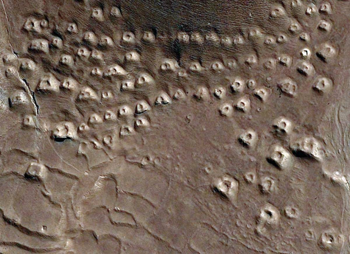
Fig. 4: (Satellite Photo: Google|DigitalGlobe (11/2010))
