#0131: Lo-3c (Chumbo)
- Town/Township
- Thang dga’
- Coordinates
- 29°51'36", 91°32'59"
- Elevation
- 3835m
- Field Type
- FT-A
- Mound Type
- MT-A, MT-C (25-30m)
- Status
- v(2007, 2014, 2015)
The fields of #0131 in the side valley locally known as Chumo in Lower Lo.
Satellite Photo: Google|DigitalGlobe (12/2010); edited by G. Hazod 2014
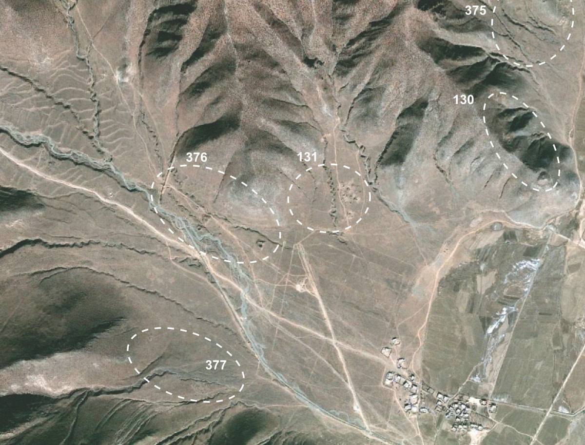
Fig. 1 The fields #0131, #0376 and #0377.
Fig. 1: The fields #0131, #0376 and #0377. (Satellite Photo: Google|DigitalGlobe (12/2010); edited by G. Hazod 2014)
Satellite Photo: Google|DigitalGlobe (12/2010)
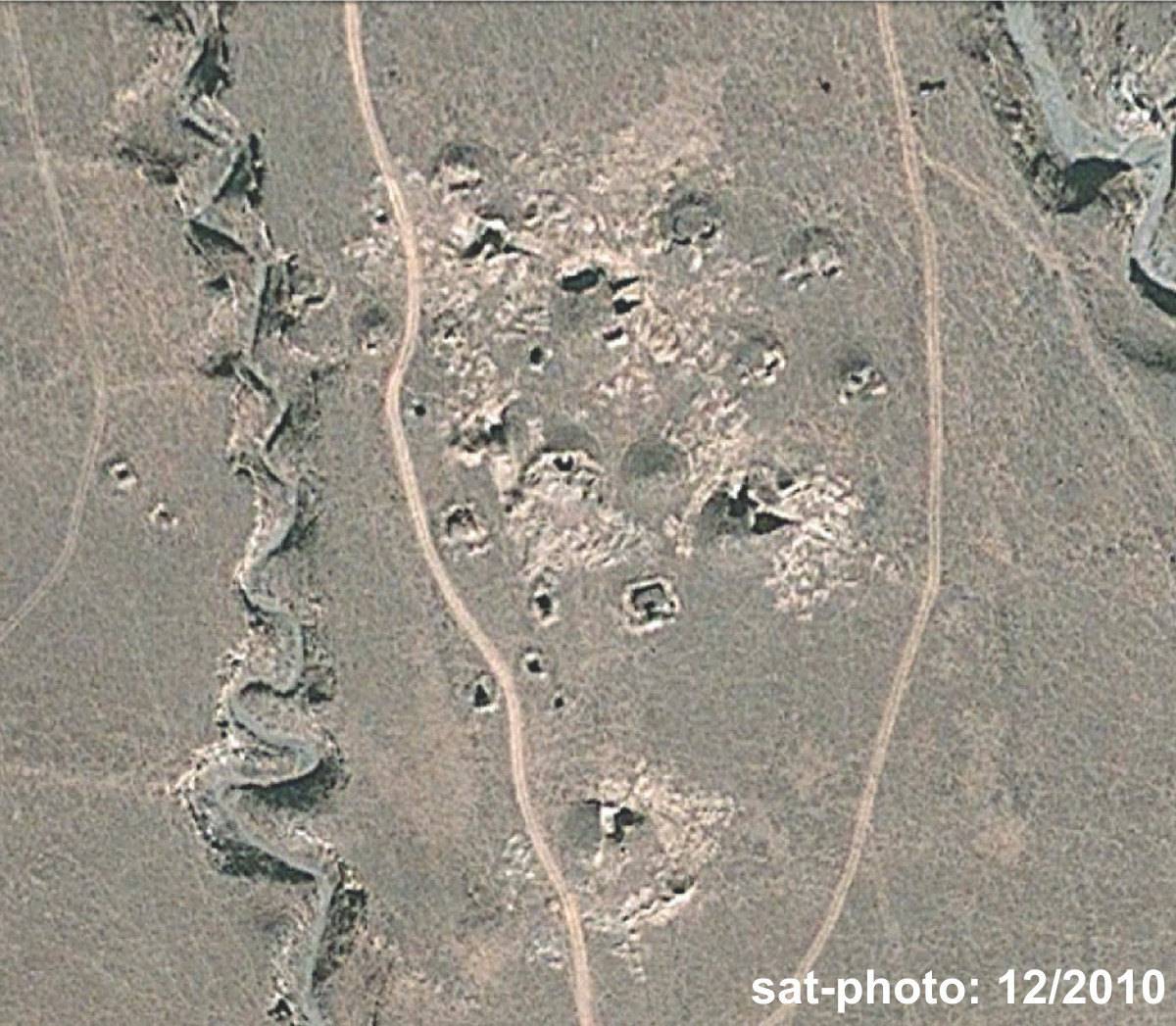
Fig. 2 The highly damaged tombs of #0131 in 2010.
Fig. 2: The highly damaged tombs of #0131 in 2010. (Satellite Photo: Google|DigitalGlobe (12/2010))
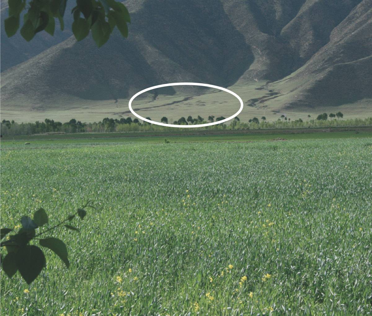
Photo: G. Hazod 2007
Fig. 3 A photograph of Lower Chumbo in 2007, with #0131 in the background.
Fig. 3: A photograph of Lower Chumbo in 2007, with #0131 in the background. (Photo: G. Hazod 2007)
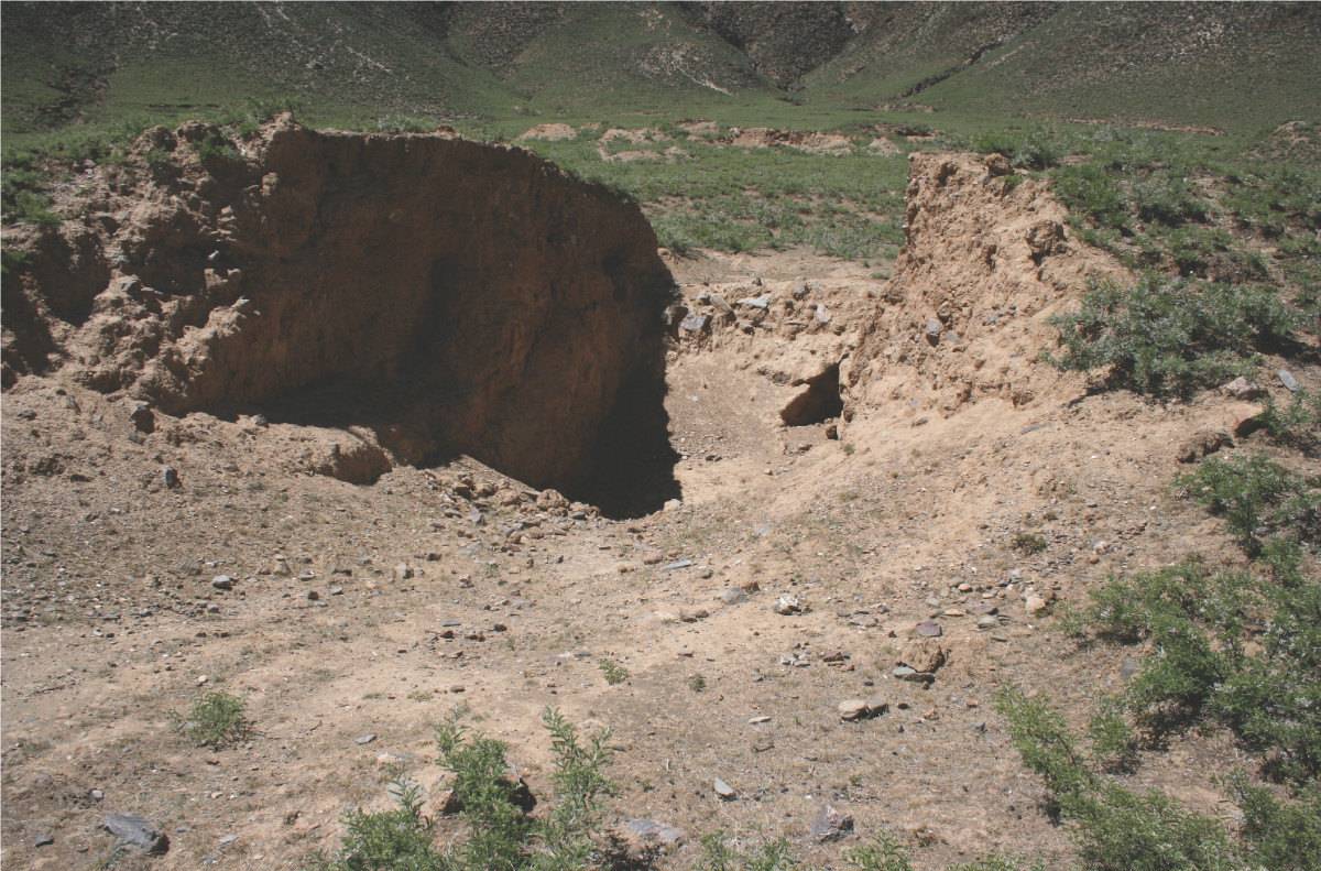
Photo: G. Hazod 2014
Fig. 4 The destructions (evidently by using bulldozers, are related to recent construction works – after 2007.
Fig. 4: The destructions (evidently by using bulldozers, are related to recent construction works – after 2007. (Photo: G. Hazod 2014)

Photo: G. Hazod 2015
Fig. 5
Fig. 5: (Photo: G. Hazod 2015)
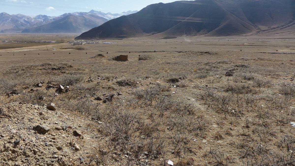
Photo: G. Hazod 2015
Fig. 6
Fig. 6: (Photo: G. Hazod 2015)