#0148: Shing tshang-3
- Town/Township
- Bde chen
- Coordinates
- 29°39'14", 91°20'58"
- Elevation
- 3790m
- Field Type
- FT-A
- Mound Type
- MT-A, MT-C (25m)
- Status
- v(2015)
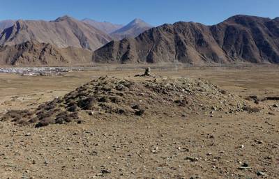
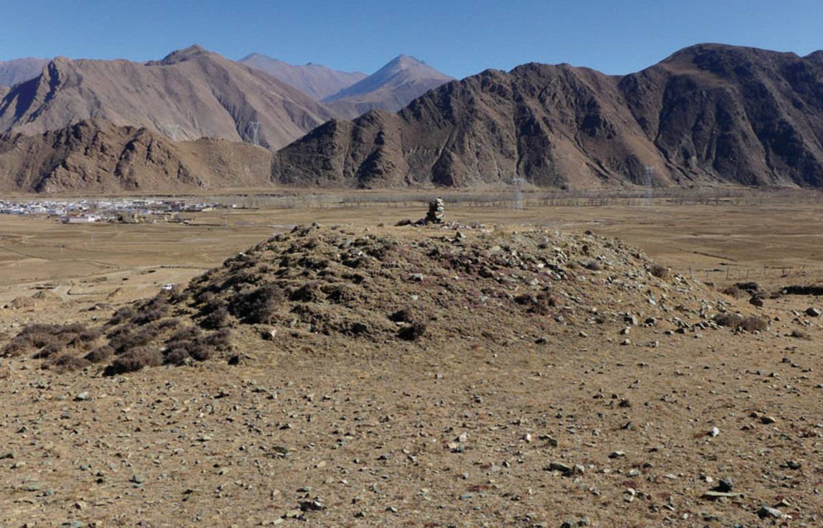
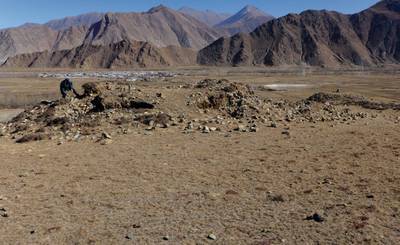
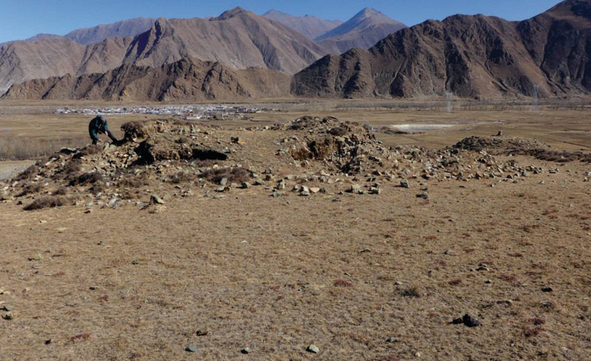
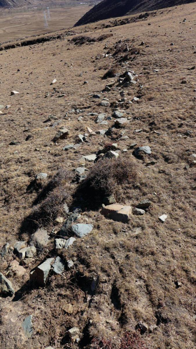
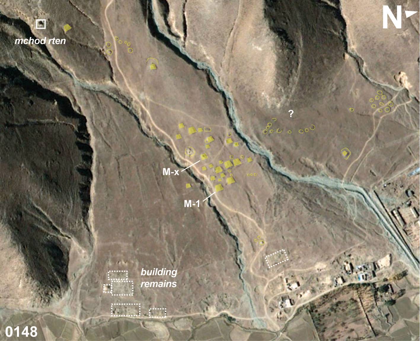
The burial ground of #0148 in Shing tshang (Stag rtse County) consists of several sections of smaller and larger graves (partly from chronologically different periods). In the central part of section-1 the remains of step construction and walled enclosures are to be found (Fig. 2; 6), and in the upper part of the field the specific arrangements of stones on the surface appear to indicate the tumulussites of older (pre-historical) flat graves (Fig. 9).
Satellite Photo: Google|DigitalGlobe (11/2018); edited by G. Hazod 2019
Fig. 1 Map of Ba lam etc. (#0144, #0145, #0146, #0147, #0148, #0402).
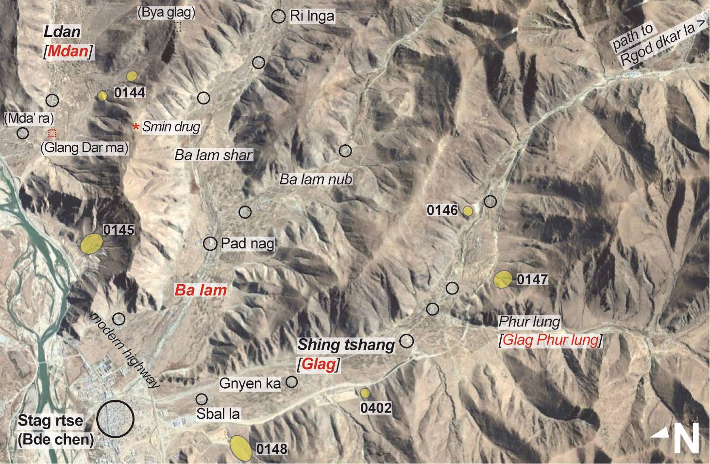
Fig. 1: Map of Ba lam etc. (#0144, #0145, #0146, #0147, #0148, #0402). (Satellite Photo: Google|DigitalGlobe (11/2018); edited by G. Hazod 2019)
Satellite Photo: Google|DigitalGlobe (11/2009); edited by G. Hazod 2015
Fig. 2
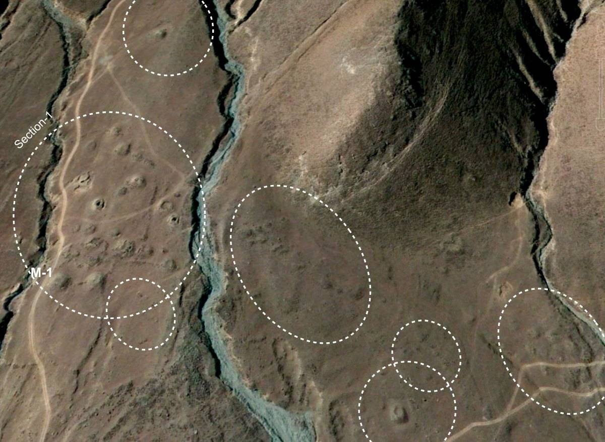
Fig. 2: (Satellite Photo: Google|DigitalGlobe (11/2009); edited by G. Hazod 2015)
Photo: G. Hazod 2015
Fig. 5 One of the ruined mounds of section-1. In the background the Stag rtse County capital.
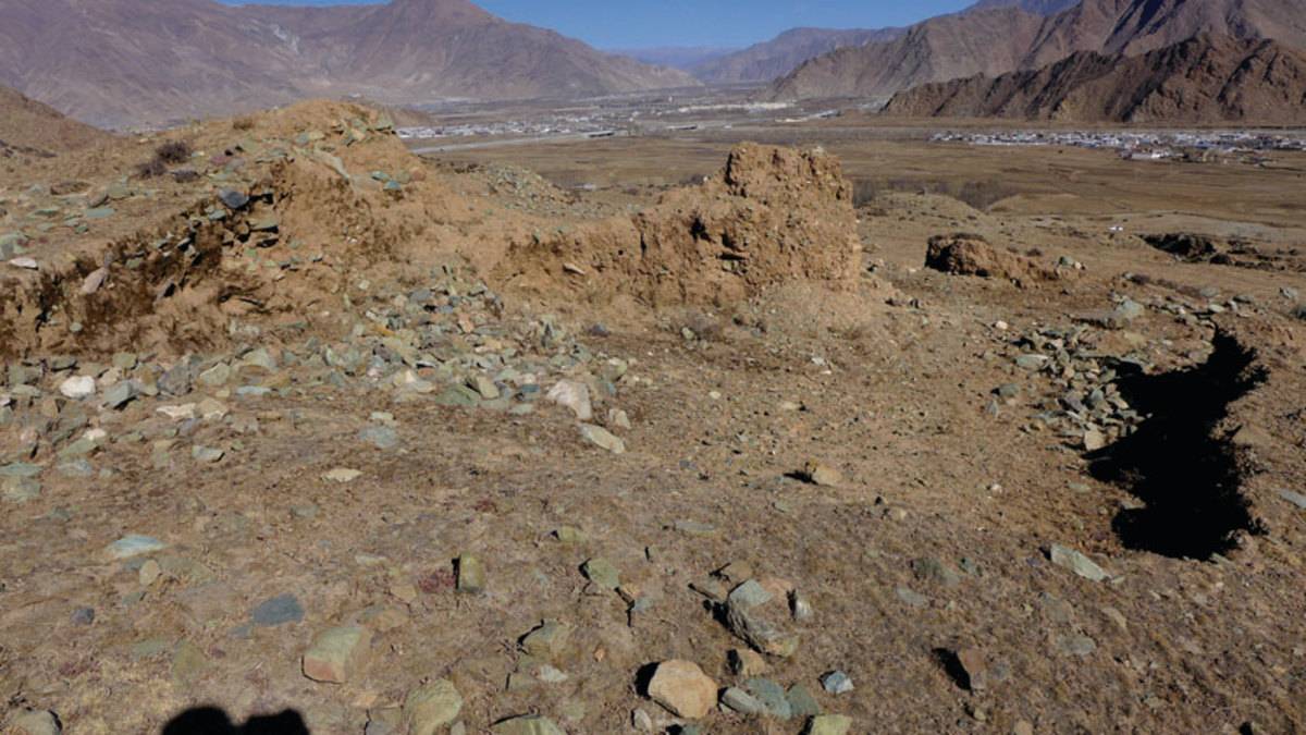
Fig. 5: One of the ruined mounds of section-1. In the background the Stag rtse County capital. (Photo: G. Hazod 2015)
Photo: G. Hazod 2015
Fig. 6 From inside the grave ruins - here revealing a rock fragment as part of the original grave chamber.
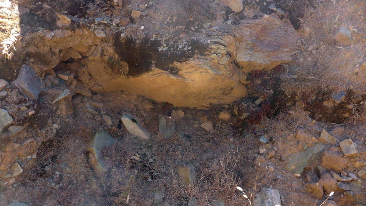
Fig. 6: From inside the grave ruins - here revealing a rock fragment as part of the original grave chamber. (Photo: G. Hazod 2015)
Photo: G. Hazod 2015
Fig. 7 Remains of step or platform constructions.
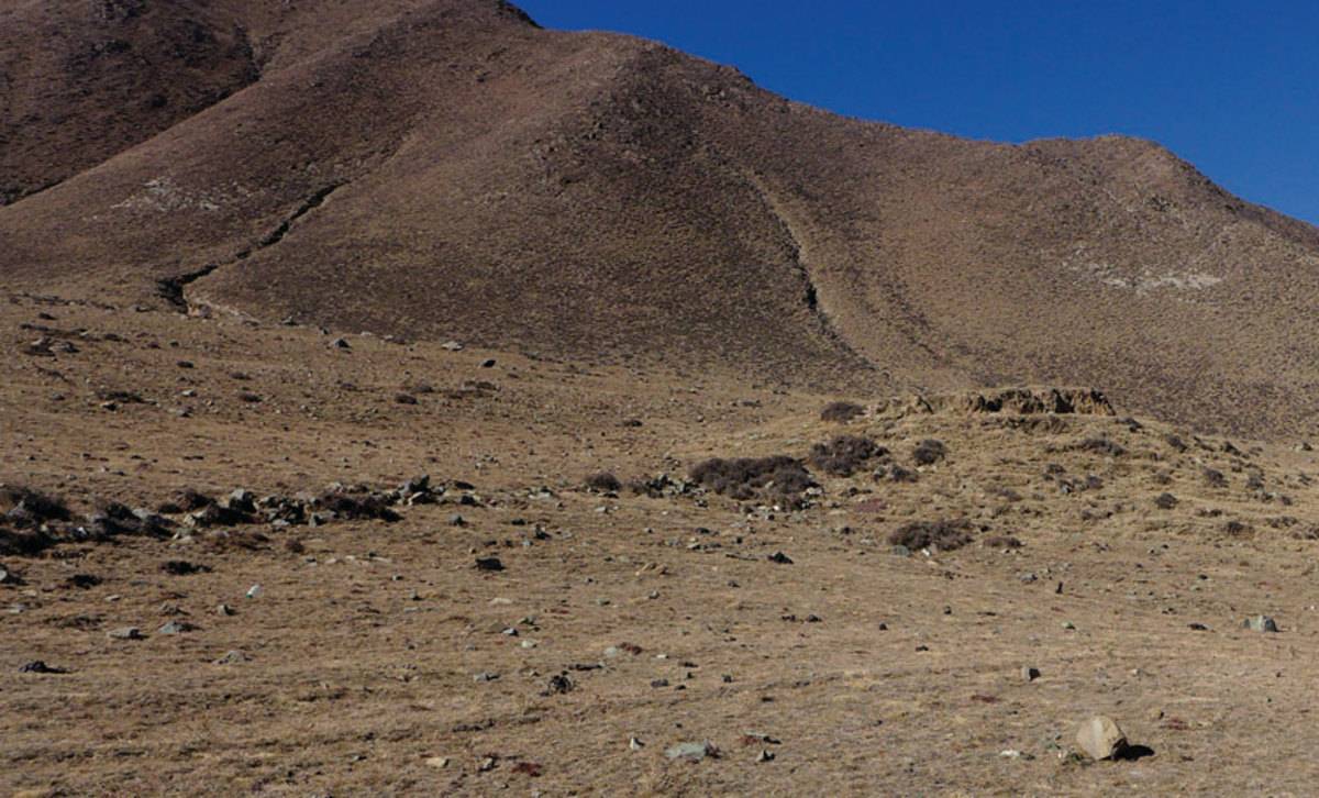
Fig. 7: Remains of step or platform constructions. (Photo: G. Hazod 2015)

Photo: G. Hazod 2015
Fig. 8 Remains of step or platform constructions.

Fig. 8: Remains of step or platform constructions. (Photo: G. Hazod 2015)
