#0015: Yar stod-1 (Ha lo) [Major Site]
- Town/Township
- Bde zhing
- Coordinates
- 29°04'11", 91°52'60"
- Elevation
- 3990m
- Field Type
- FT-A
- Mound Type
- MT-C (35m)
- Additional Classification
- major site, 100+ tombs
- Status
- v(2013)
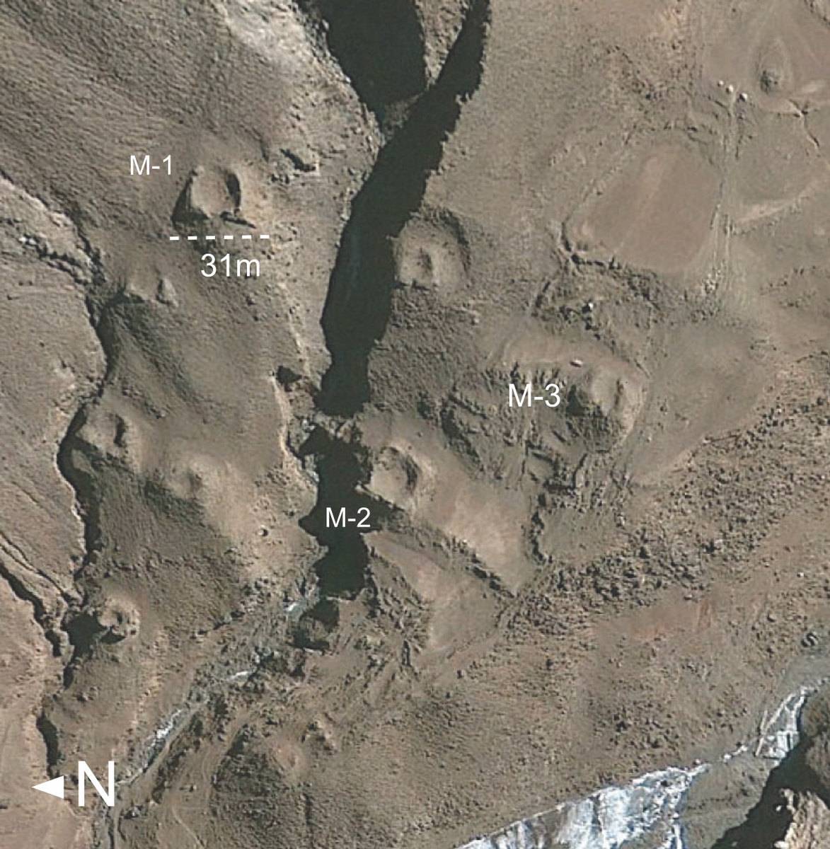
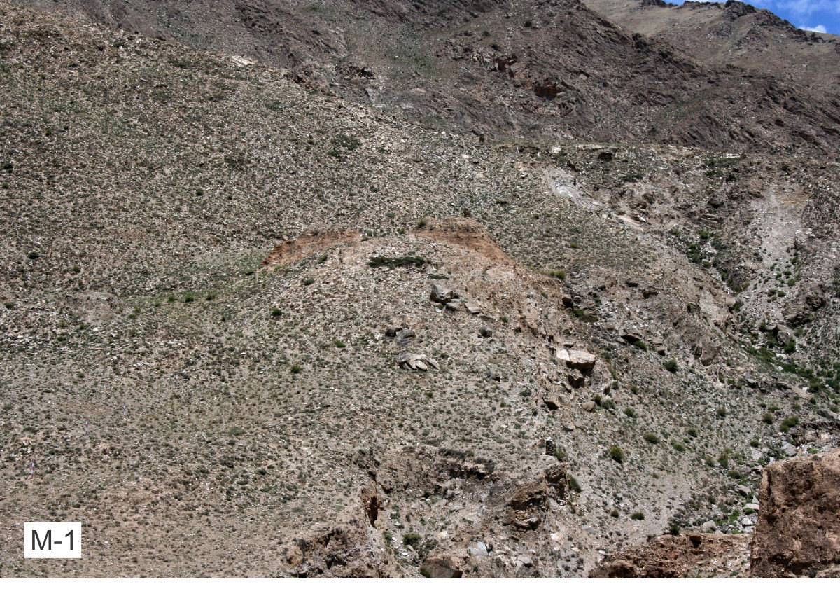
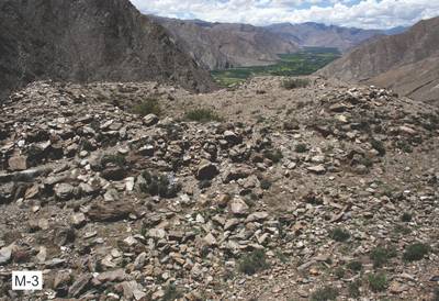
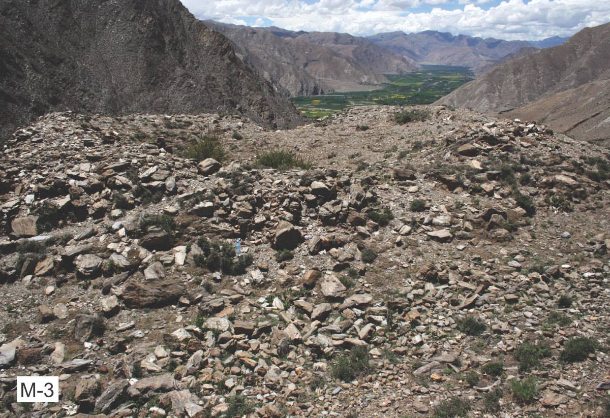
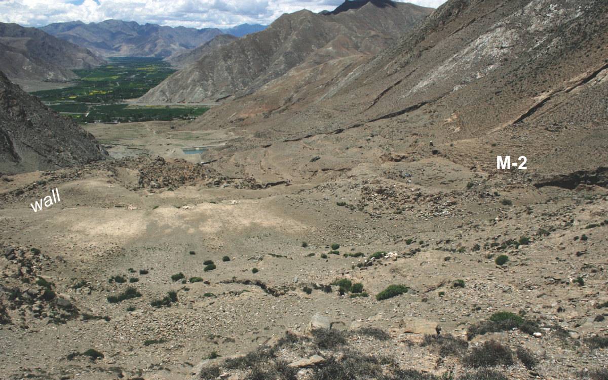
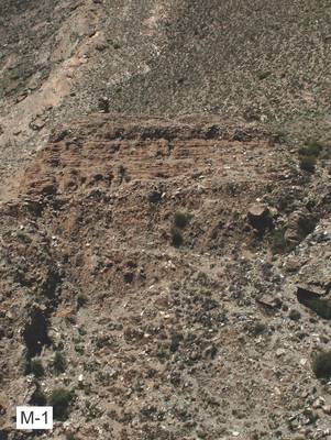
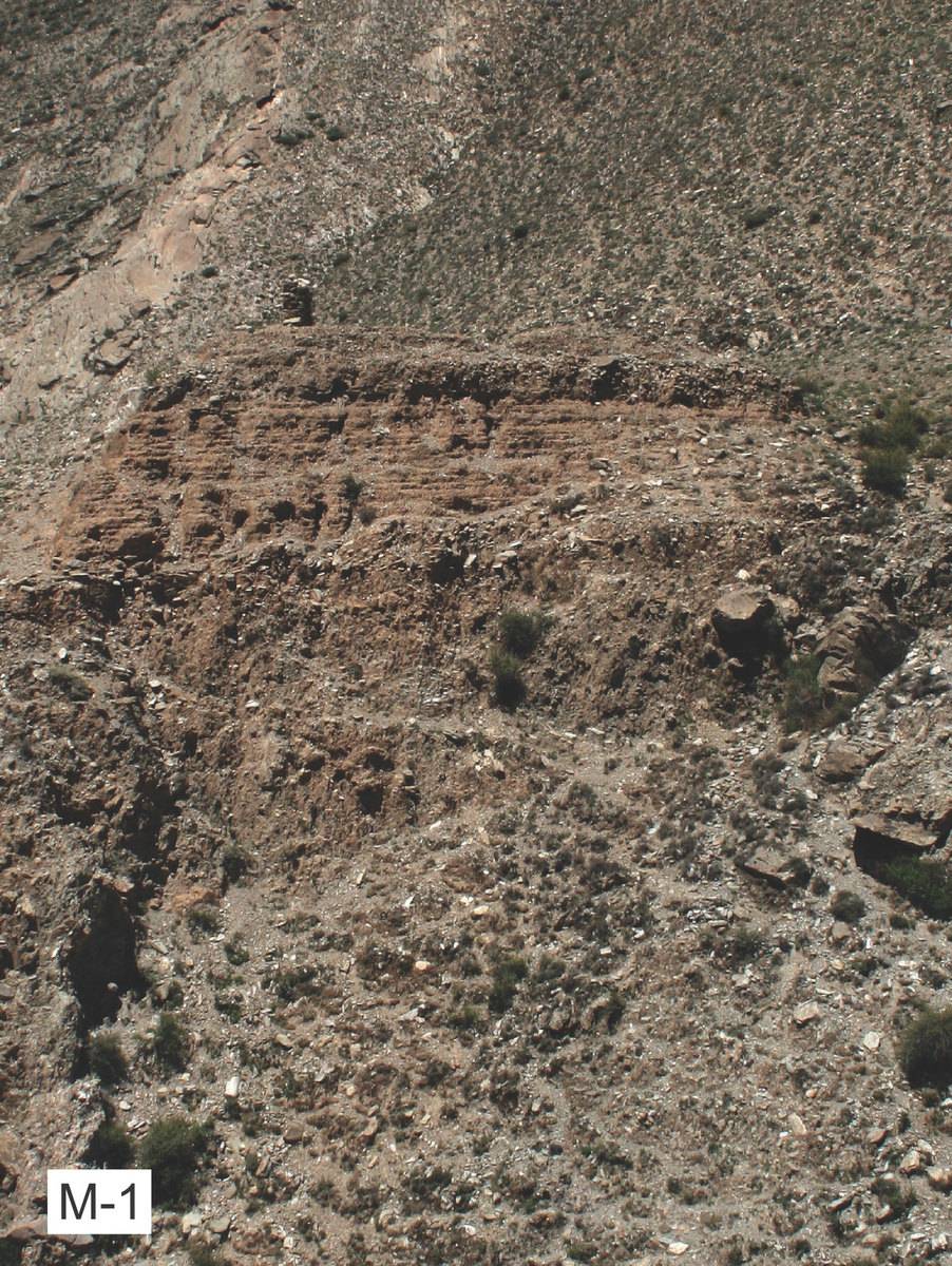
The grave field #0015 is situated in the upper part of a side valley south of Ha lo sgang in Upper Yar lung. There are traces of an artificial wall at the southern edge of the field – possibly the remains of a construction that was part of the ritual architecture of this burial ground.
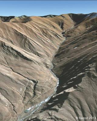
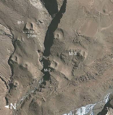
Satellite Photo: Google|DigitalGlobe (01/2011); edited by G. Hazod 2013
Fig. 1
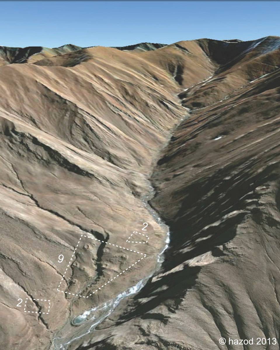
Fig. 1: (Satellite Photo: Google|DigitalGlobe (01/2011); edited by G. Hazod 2013)
