#0162: Brang-1
- Town/Township
- Gnas chung
- Coordinates
- 29°36'15", 90°58'15"
- Elevation
- 3720m
- Field Type
- FT-A
- Mound Type
- MT-A (15m)
- Additional Classification
- additional mounds in vicinity
- Status
- nv(sat)

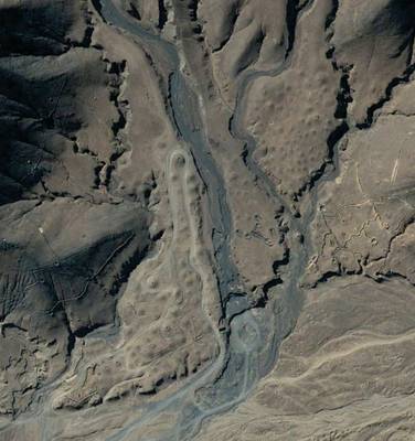
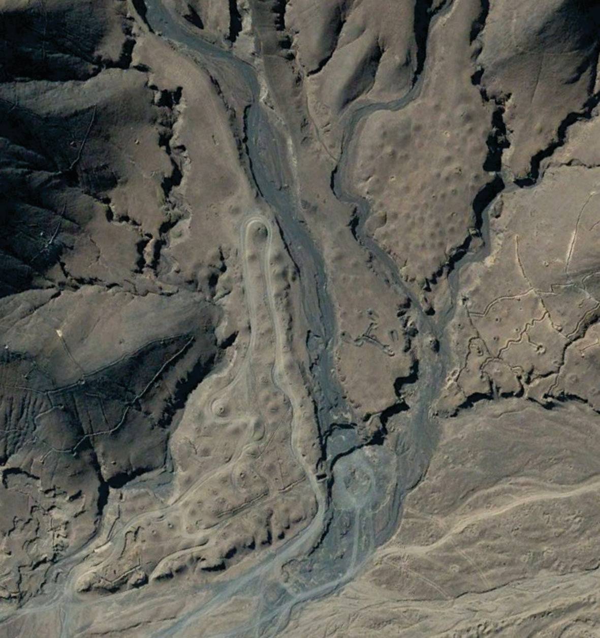
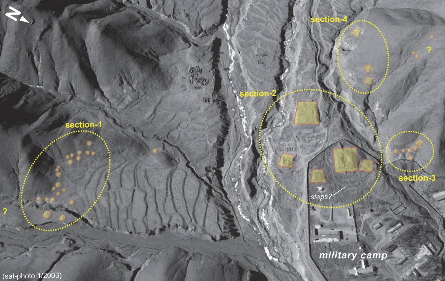
Satellite Photo: Google|DigitalGlobe (03/2003); edited by G. Hazod 2016
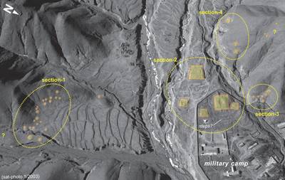
Fig. 1 The grave fields in the ancient districts of Brang and Gzhong pa in Lower Stod lung. The area is registered for the imperial time as terrirory of the aristocratic lineage of Sna nam (Hazod 2009; Hazod, forthcoming-c).

Fig. 1: The grave fields in the ancient districts of Brang and Gzhong pa in Lower Stod lung. The area is registered for the imperial time as terrirory of the aristocratic lineage of Sna nam (Hazod 2009; Hazod, forthcoming-c). (Satellite Photo: Google|DigitalGlobe (03/2003); edited by G. Hazod 2016)

