#0189: Mer khe
- Town/Township
- Dbu ru lung
- Coordinates
- 30°17'17", 91°08'13"
- Elevation
- 4195m
- Field Type
- FT-A
- Mound Type
- MT-A
- Additional Classification
- 100+ tombs
- Status
- nv(sat)
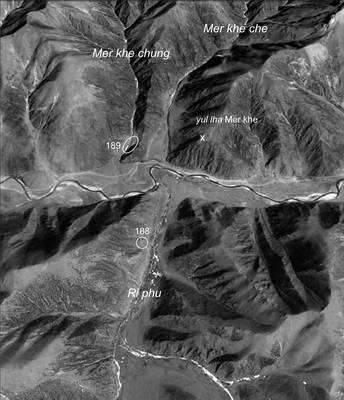
Satellite Photo: Google|DigitalGlobe (03/2010); edited by G. Hazod 2013
Fig. 1 In Ri phu and Mer khe of Dbu ru lung.
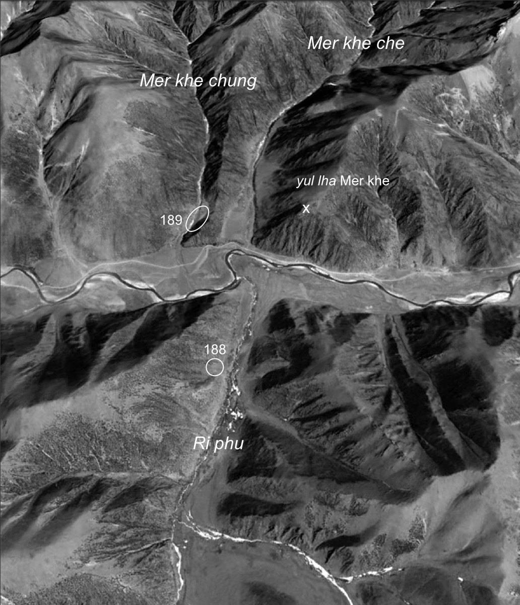
Fig. 1: In Ri phu and Mer khe of Dbu ru lung. (Satellite Photo: Google|DigitalGlobe (03/2010); edited by G. Hazod 2013)
Satellite Photo: Google|DigitalGlobe (03/2010); edited by G. Hazod 2013
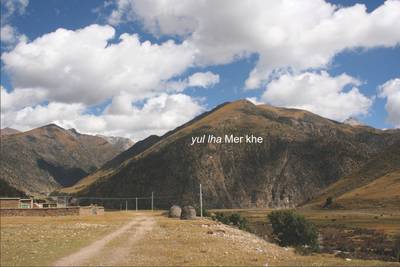
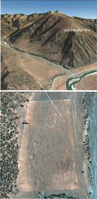
Fig. 3 Unidentified enclosure and ruins at the foot of yul lha Mer khe, the central mountain in the local "cutting off the mountain" story.

Fig. 3: Unidentified enclosure and ruins at the foot of yul lha Mer khe, the central mountain in the local "cutting off the mountain" story. (Satellite Photo: Google|DigitalGlobe (03/2010); edited by G. Hazod 2013)
