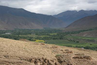
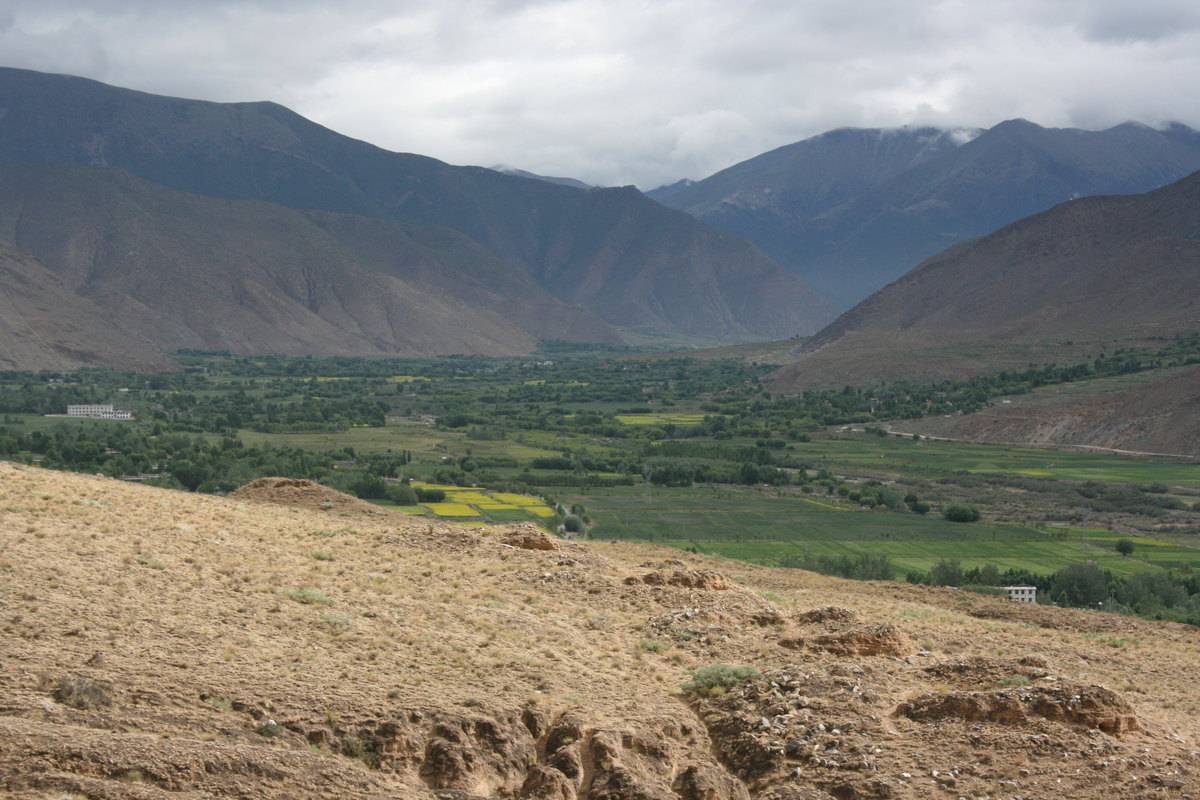
#0024: ’On-4 (Bya sa’i ri) [Major Site]
- Town/Township
- Skyer pa
- Coordinates
- 29°20'08", 91°49'28"
- Elevation
- 3700m
- Field Type
- FT-B
- Mound Type
- MT-C (50m)
- Additional Classification
- major site
- Status
- v(2013, 2014)
The grave field of Rgyab sa ri in 'On (#0024).
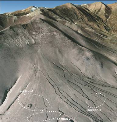
Satellite Photo: Google|DigitalGlobe (12/2010); edited by G. Hazod 2013
Fig. 1
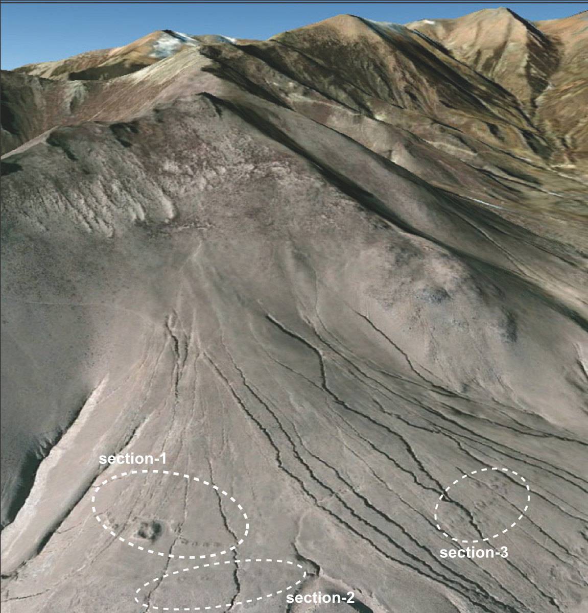
Fig. 1: (Satellite Photo: Google|DigitalGlobe (12/2010); edited by G. Hazod 2013)
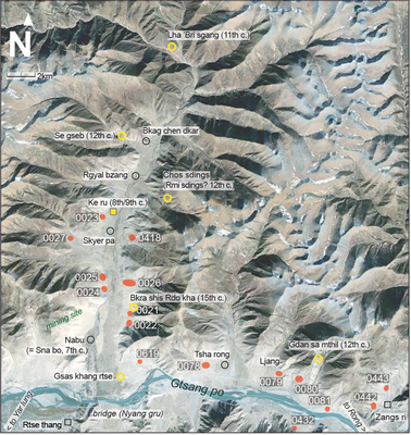
Satellite Photo: Google|Maxar Technologies 2020 (12/2014); edited by G. Hazod 2021
Fig. 2 The ’On valley in the area of Lower Ngam shod.
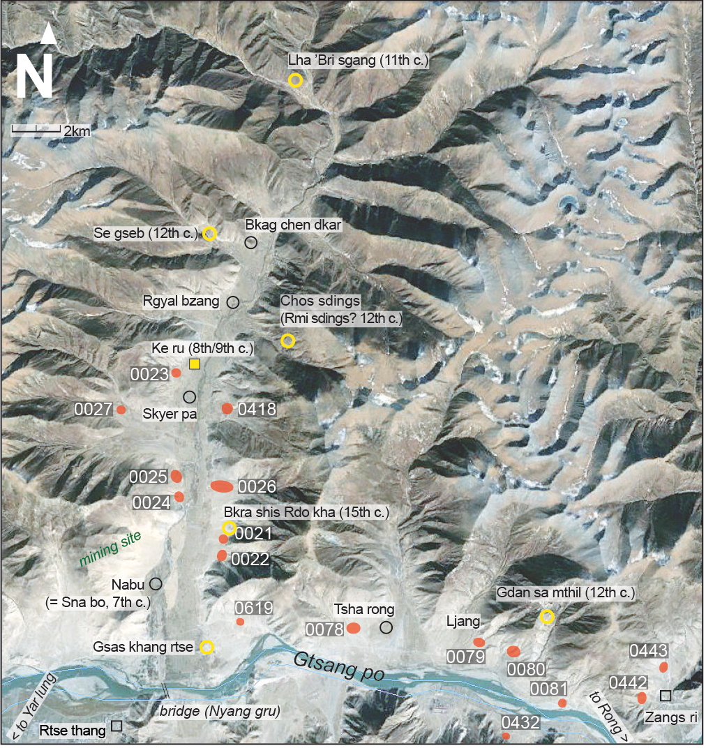
Fig. 2: The ’On valley in the area of Lower Ngam shod. (Satellite Photo: Google|Maxar Technologies 2020 (12/2014); edited by G. Hazod 2021)
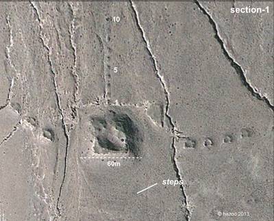
Satellite Photo: Google|DigitalGlobe (12/2010); edited by G. Hazod 2013
Fig. 3 Section-1: the 18 structures in cruciform/bird-shaped arrangement
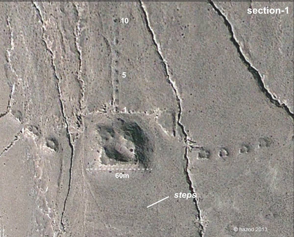
Fig. 3: Section-1: the 18 structures in cruciform/bird-shaped arrangement (Satellite Photo: Google|DigitalGlobe (12/2010); edited by G. Hazod 2013)
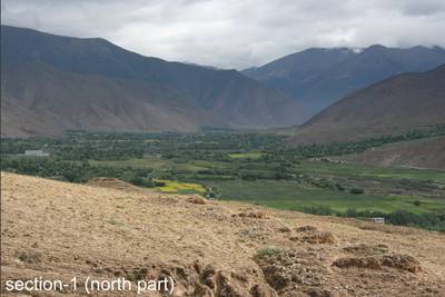
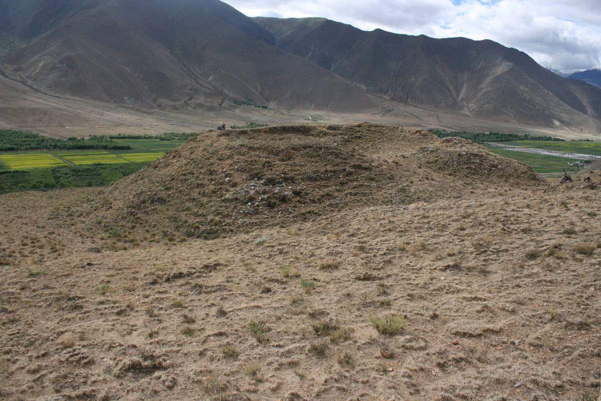
Photo: G. Hazod 2014
Fig. 7 Section-1: northern part
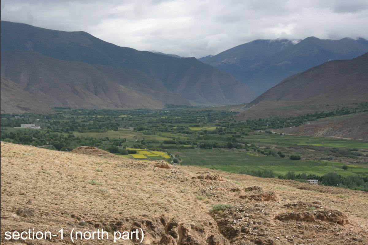
Fig. 7: Section-1: northern part (Photo: G. Hazod 2014)
