#0242: Grub brgya
- Town/Township
- Grub brgya
- Coordinates
- 29°51'44", 91°16'39"
- Elevation
- 3850m
- Field Type
- FT-A
- Mound Type
- MT-A, MT-C (30m)
- Status
- v(2019)
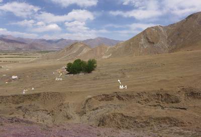
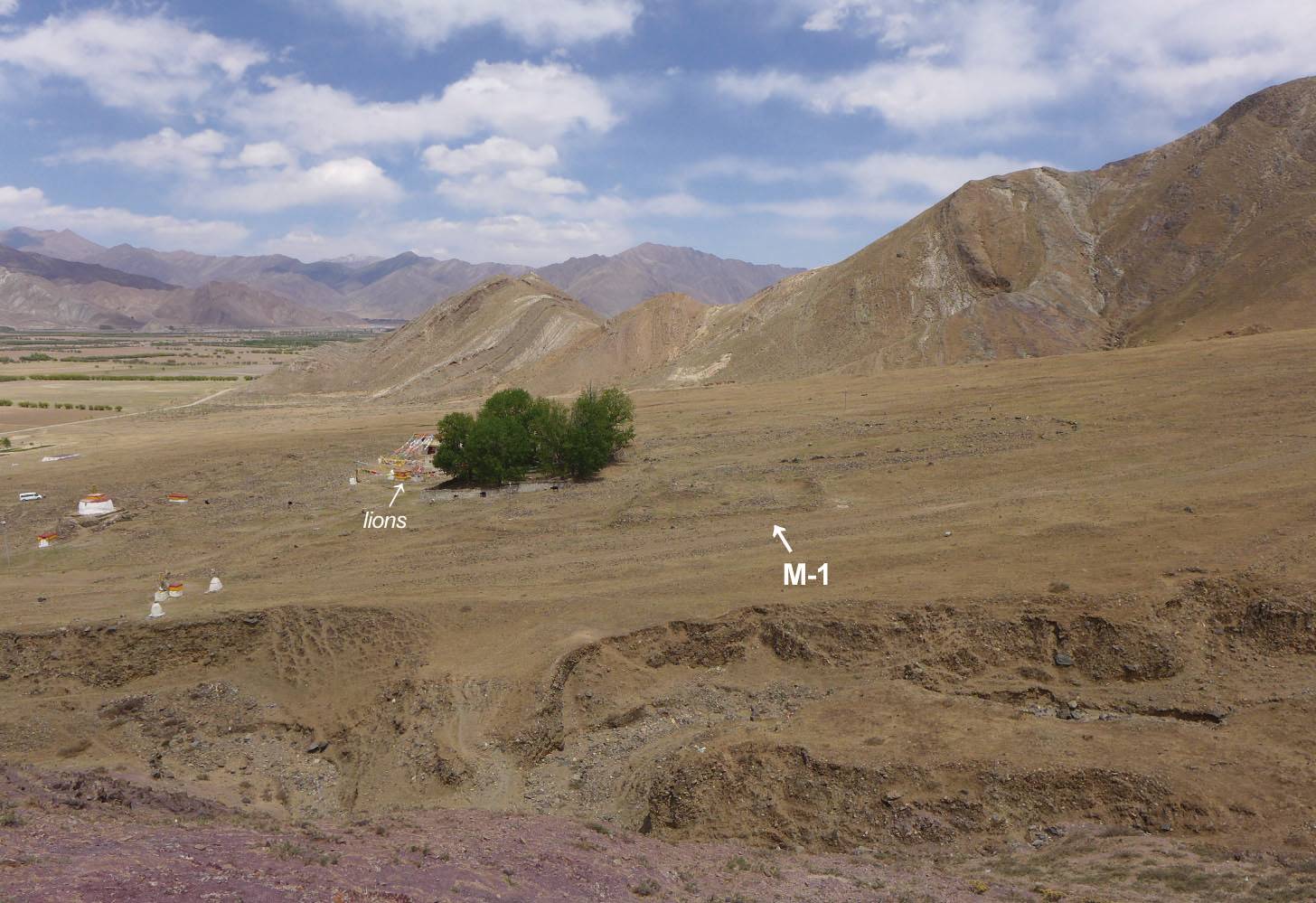
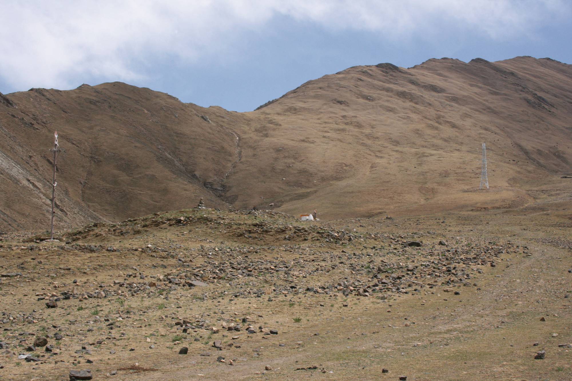
#0242 and the site of 'Bum sdings ('Bum steng) in the Grub brgya district of Central 'Phan po.(Drawing based on information by Shawo Khacham, Sept. 2016; sat-photo: 10/2011; photos: Shawo Khacham.)

Satellite Photo: Google|DigitalGlobe (10/2018); edited by G. Hazod 2019
Fig. 1 Overview
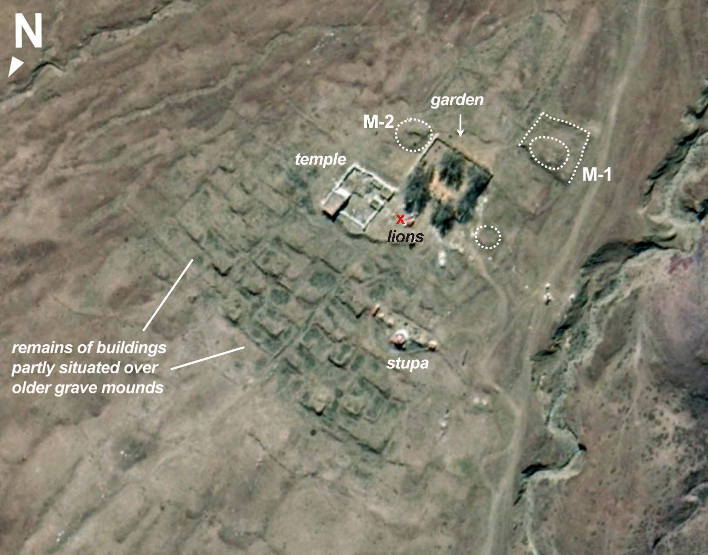
Fig. 1: Overview (Satellite Photo: Google|DigitalGlobe (10/2018); edited by G. Hazod 2019)
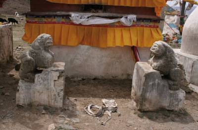
Photo: G. Hazod 2019
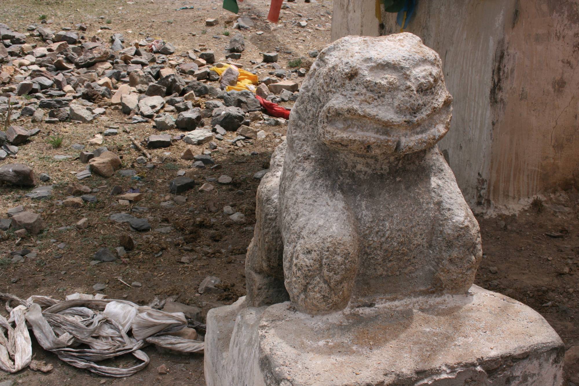
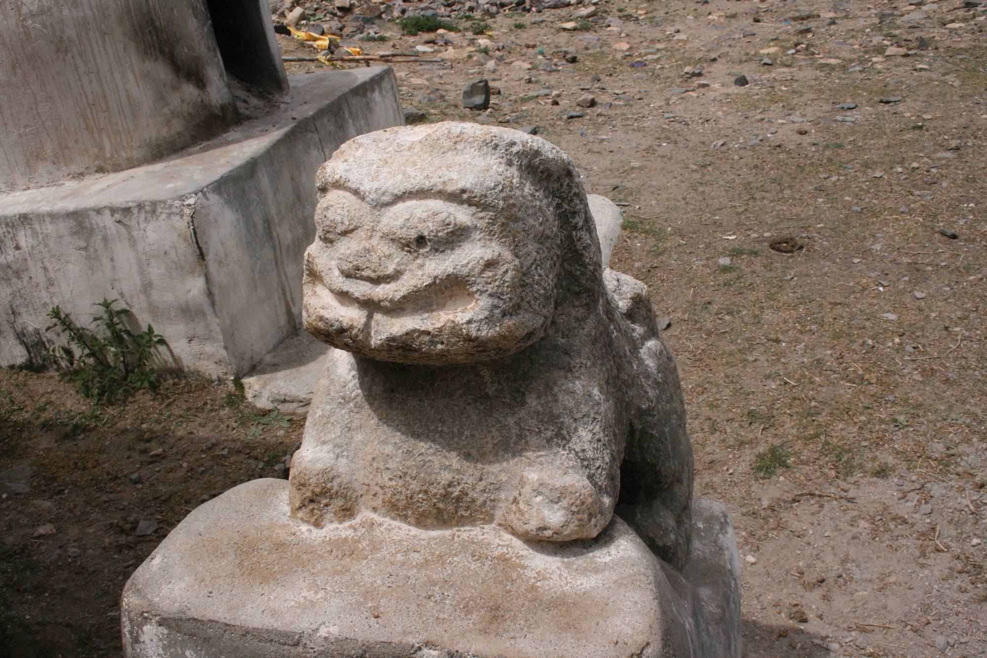
Fig. 4 The lions of ’Bum sdings: The strongly weathered and partly broken stone figures (in the probably not original position of facing each other) are said to have been originally at a tomb, i.e. one of the grave mound of #0242. They have stylistically much in common with the grave lions of Khrom chen (#0339). Cf. also #0105; Hazod 2015.
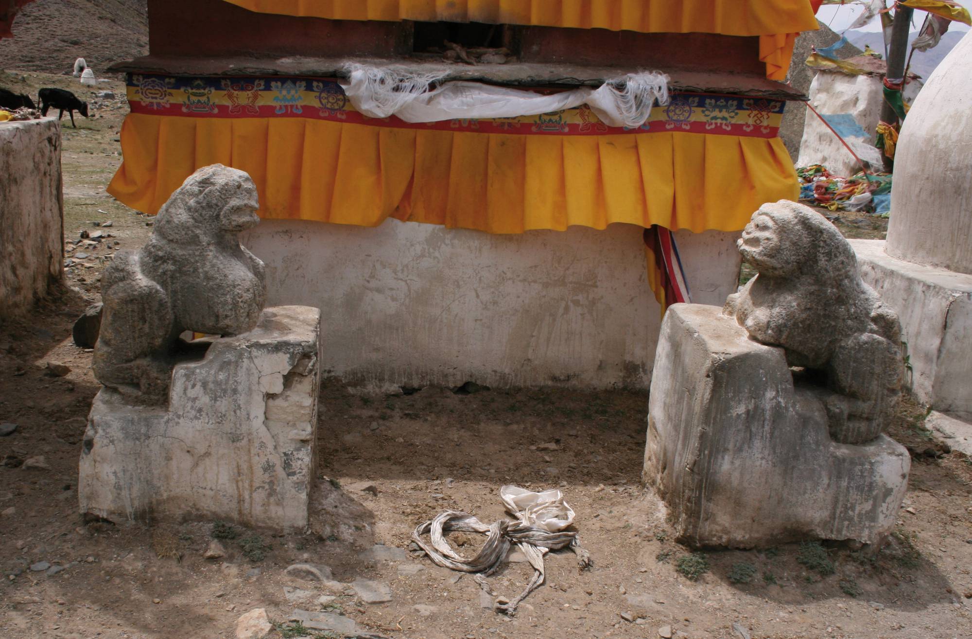
Fig. 4: The lions of ’Bum sdings: The strongly weathered and partly broken stone figures (in the probably not original position of facing each other) are said to have been originally at a tomb, i.e. one of the grave mound of #0242. They have stylistically much in common with the grave lions of Khrom chen (#0339). Cf. also #0105; Hazod 2015. (Photo: G. Hazod 2019)
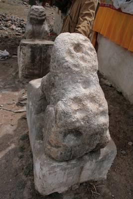
Photo: G. Hazod 2019
Fig. 7 Right lion, back side.
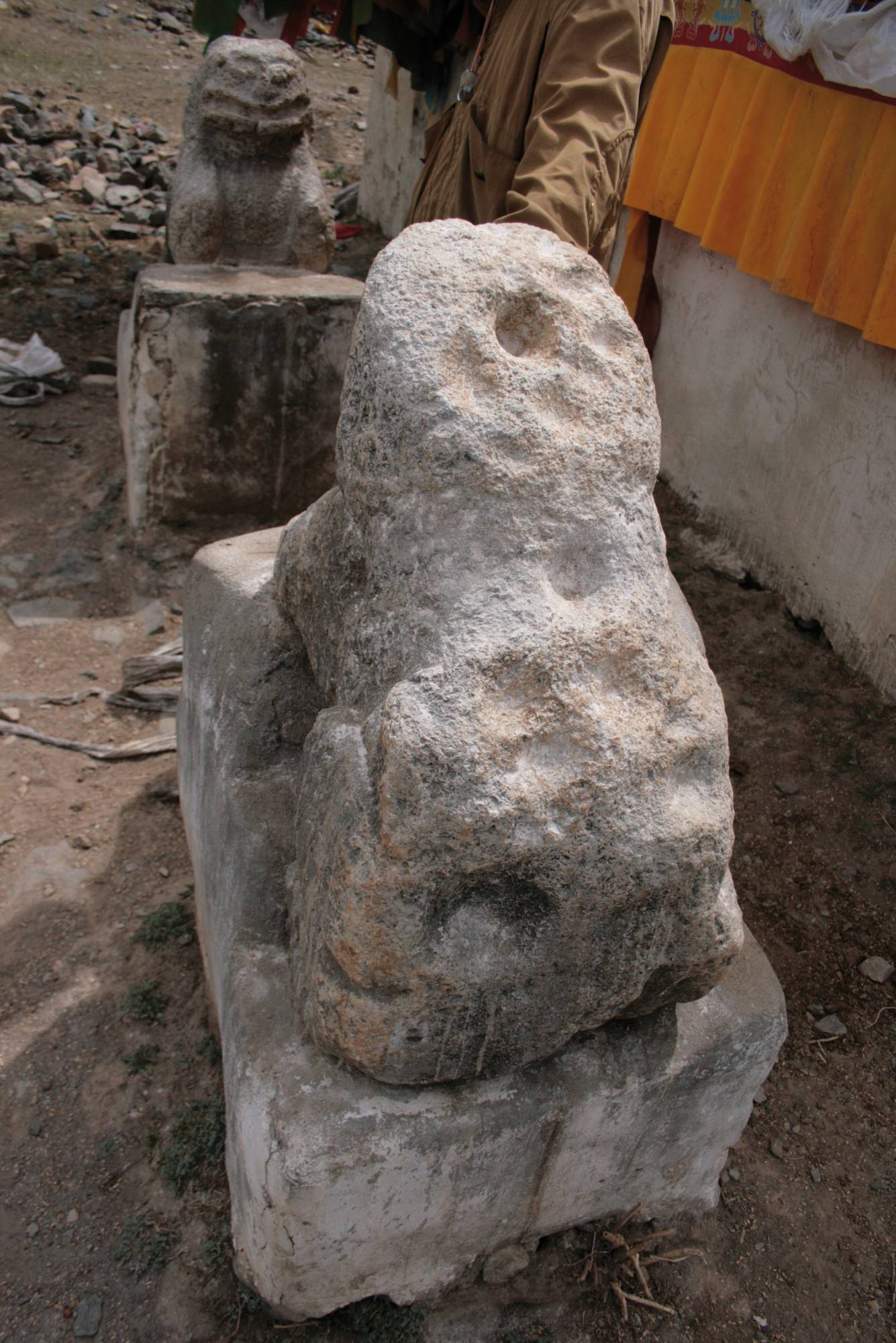
Fig. 7: Right lion, back side. (Photo: G. Hazod 2019)
Satellite Photo: Google|DigitalGlobe (10/2018); edited by G. Hazod 2019
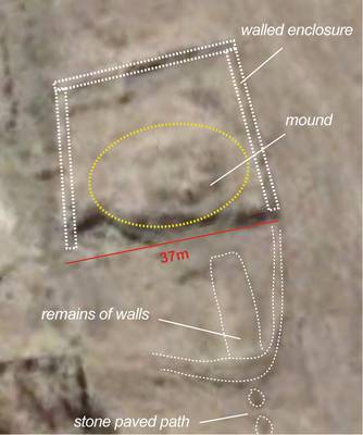
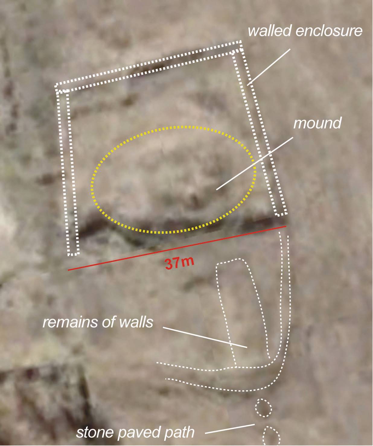
Fig. 10 Stone paved path below M1.
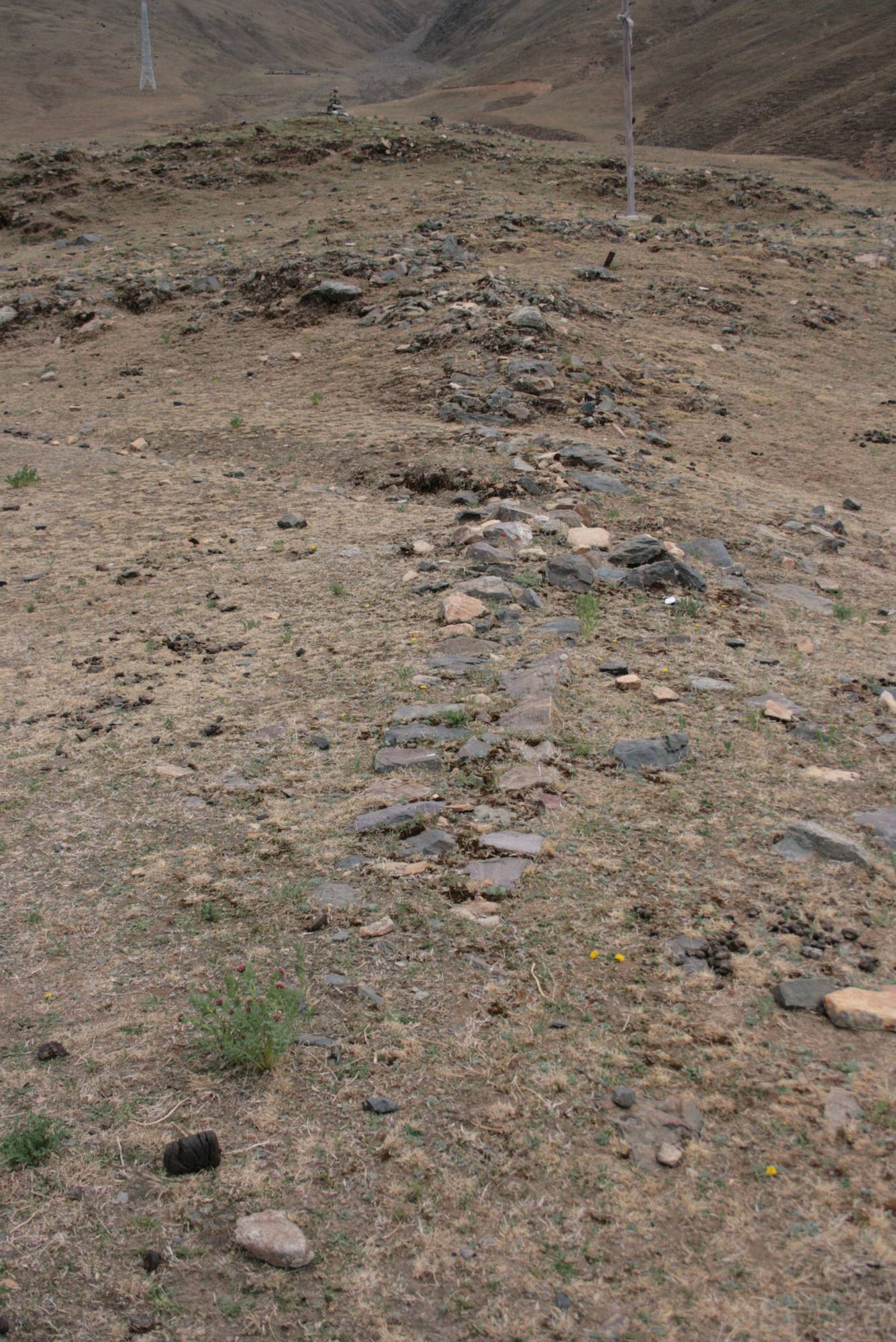
Fig. 10: Stone paved path below M1. (Satellite Photo: Google|DigitalGlobe (10/2018); edited by G. Hazod 2019)

Photo: G. Hazod 2019
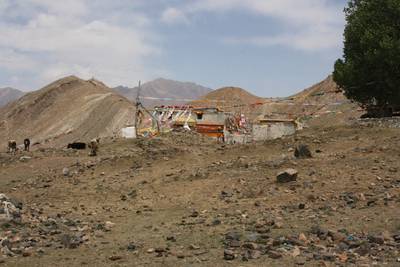
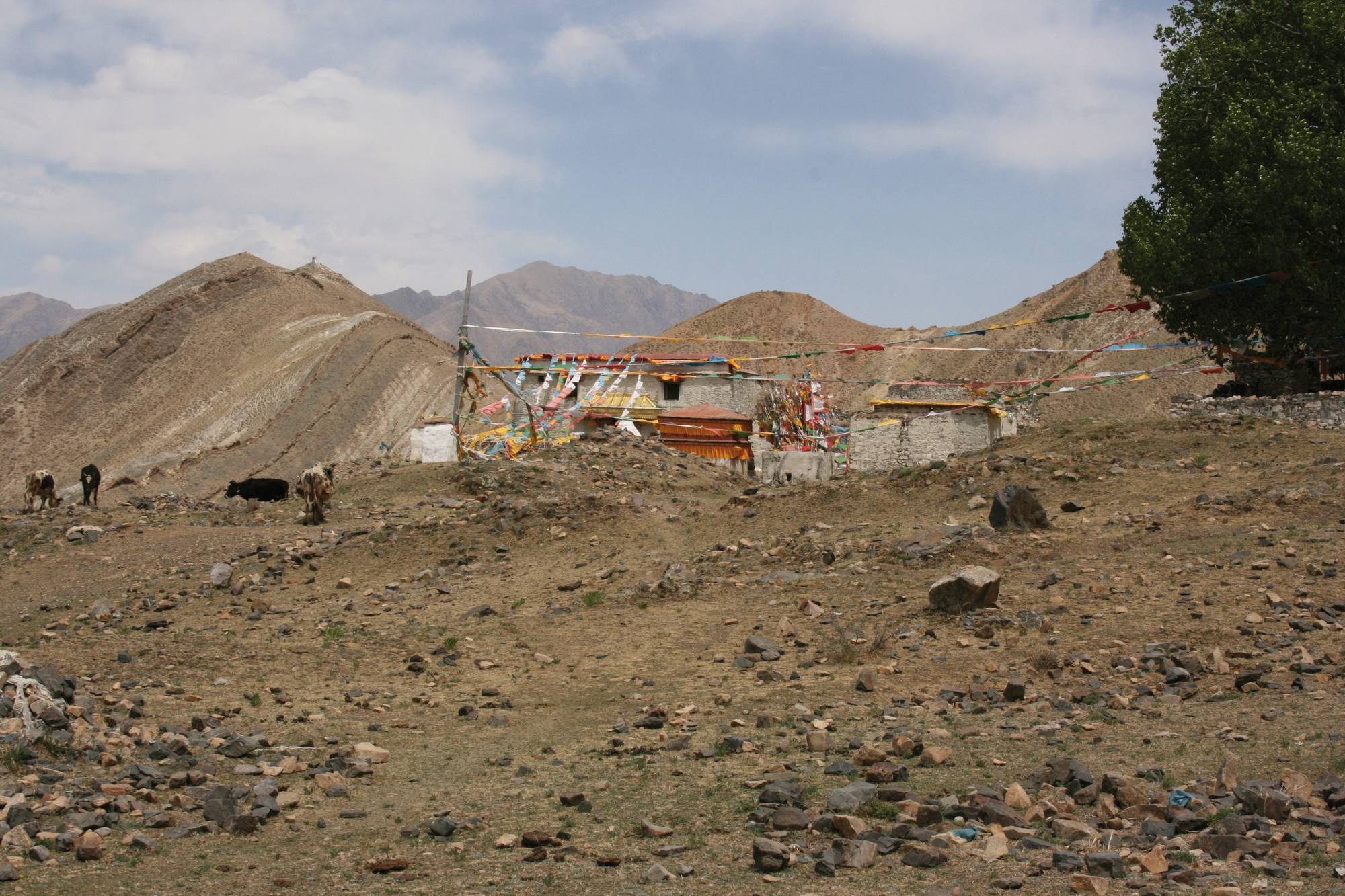
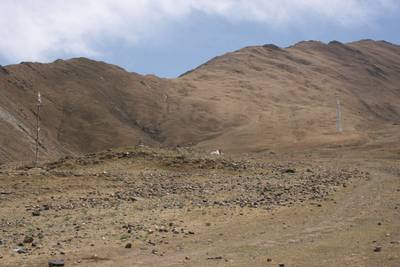
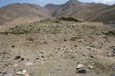
Fig. 12 'Bum sdings building remains and older mount constructions.

Fig. 12: 'Bum sdings building remains and older mount constructions. (Photo: G. Hazod 2019)
