#0259: Bur-1
- Town/Township
- Mnyes thang
- Elevation
- 3655m
- Field Type
- FT-A
- Mound Type
-
MT-A
- Status
-
nv(sat)
The grave fields (= red circles) of Ra stod, the Bur of the OTA (#0259 – #0263). Settlements are marked by yellow circles in the map.

Satellite Photo: Google|DigitalGlobe (01/2003); edited by G. Hazod 2014
Fig. 1 The grave fields of Bur.

Fig. 1: The grave fields of Bur. (Satellite Photo: Google|DigitalGlobe (01/2003); edited by G. Hazod 2014)

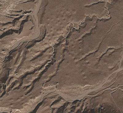
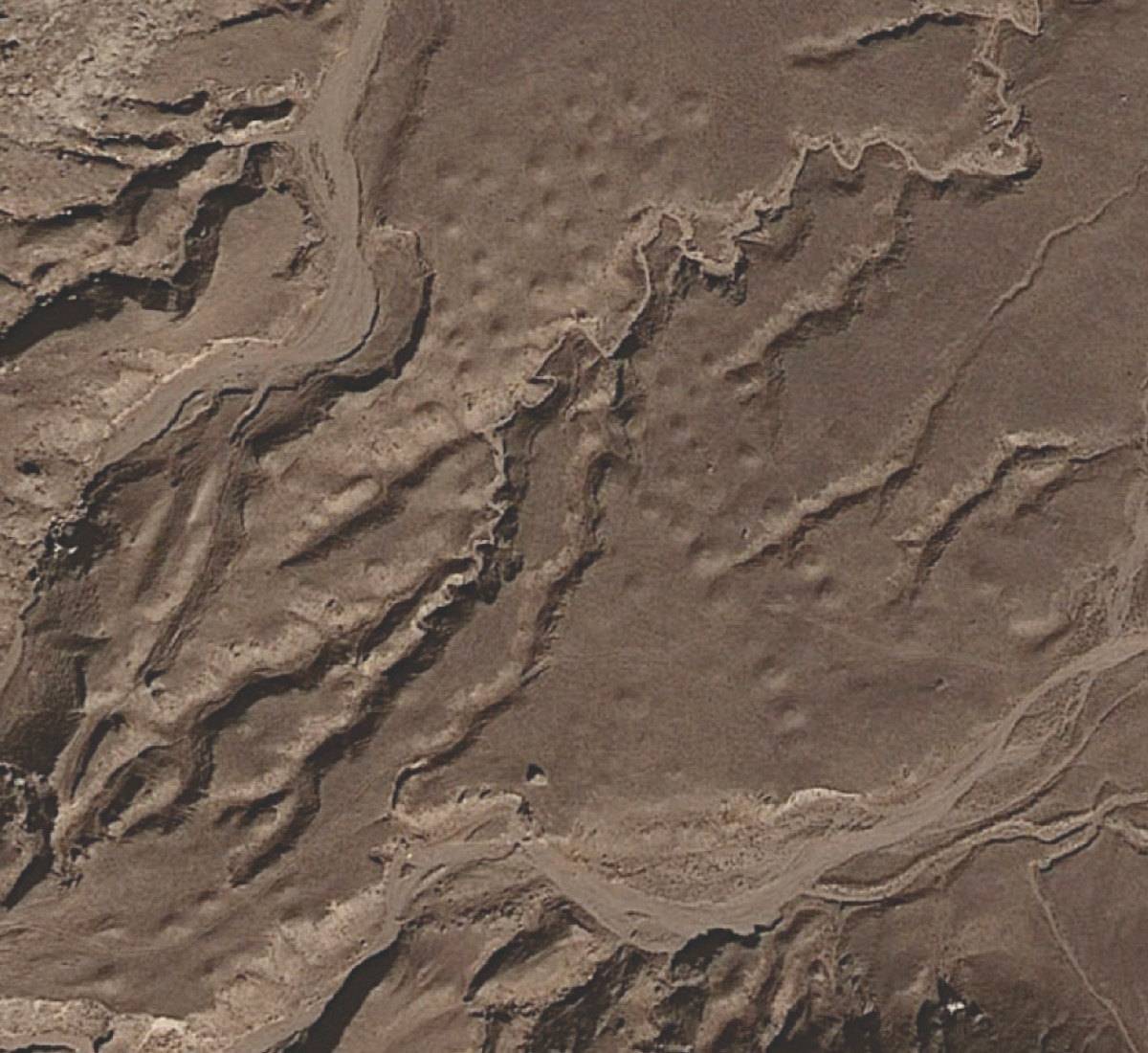
Satellite Photo: Google|DigitalGlobe (01/2012)
Fig. 2 The tombs of #0259.

Fig. 2: The tombs of #0259. (Satellite Photo: Google|DigitalGlobe (01/2012))


