#0279: Sham bu-2a,b
- Town/Township
- Rtse chen
- Coordinates
- 28°56'13", 89°31'21"
- Elevation
- 4050m
- Field Type
- FT-A
- Mound Type
- MT-A, MT-B, MT-C (20m)
- Status
- nv(sat)
Satellite Photo: Google|DigitalGlobe (12/2010); edited by G. Hazod 2013
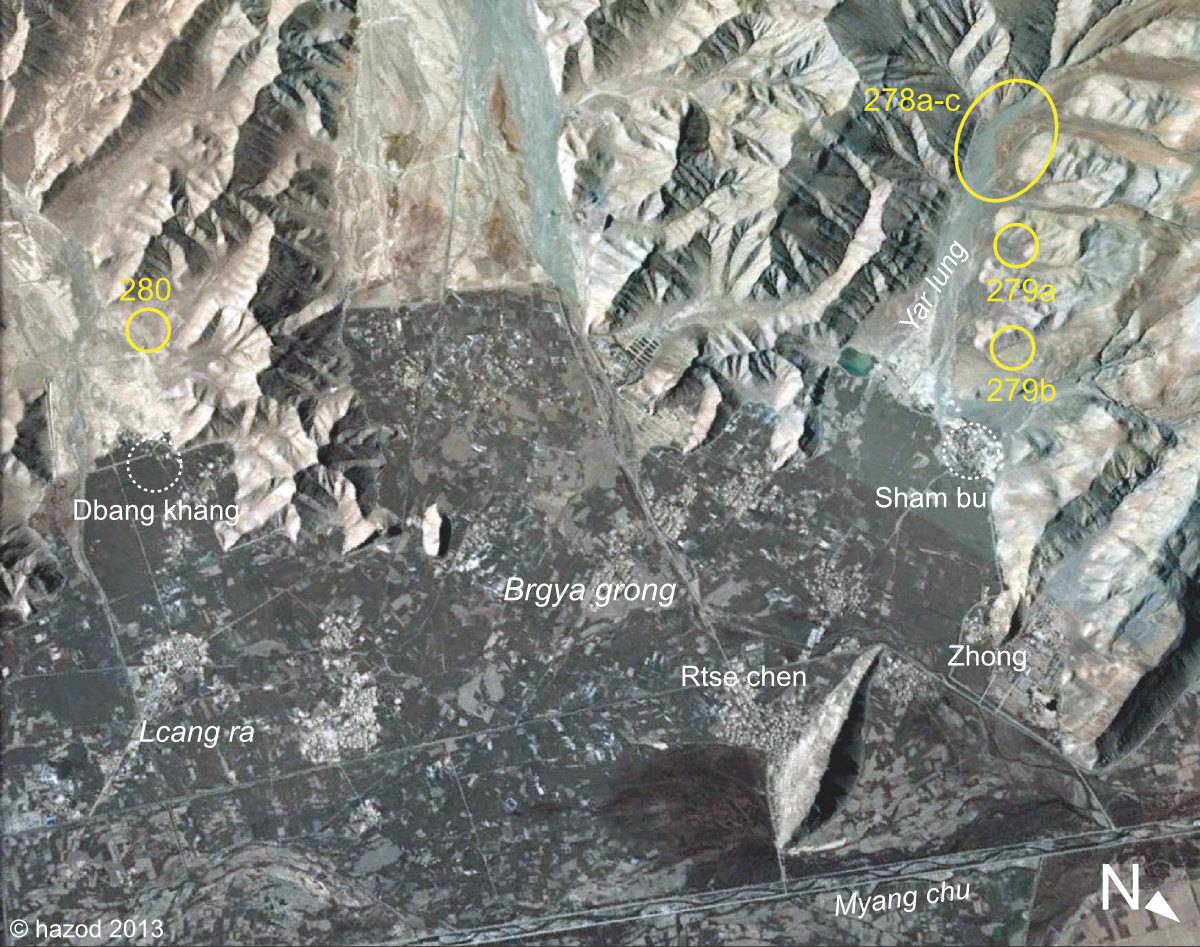
Fig. 1 Around Rtse chen, the core area of ancient Myang ro Sham po.
Fig. 1: Around Rtse chen, the core area of ancient Myang ro Sham po. (Satellite Photo: Google|DigitalGlobe (12/2010); edited by G. Hazod 2013)
Satellite Photo: Google|DigitalGlobe (12/2010)
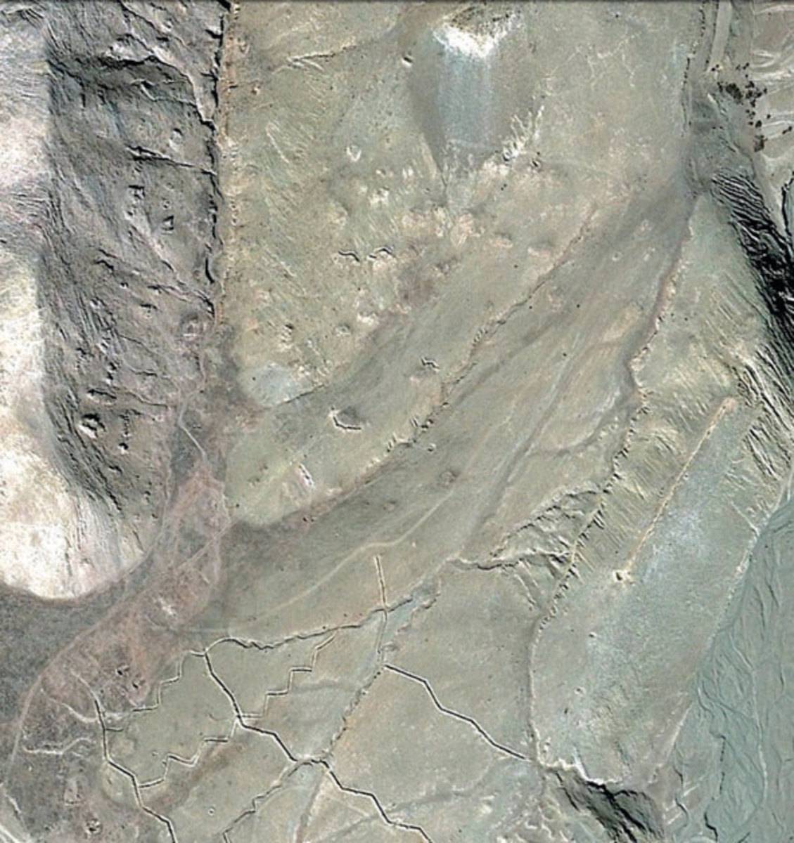
Fig. 2
Fig. 2: (Satellite Photo: Google|DigitalGlobe (12/2010))
Satellite Photo: Google|DigitalGlobe (12/2010)
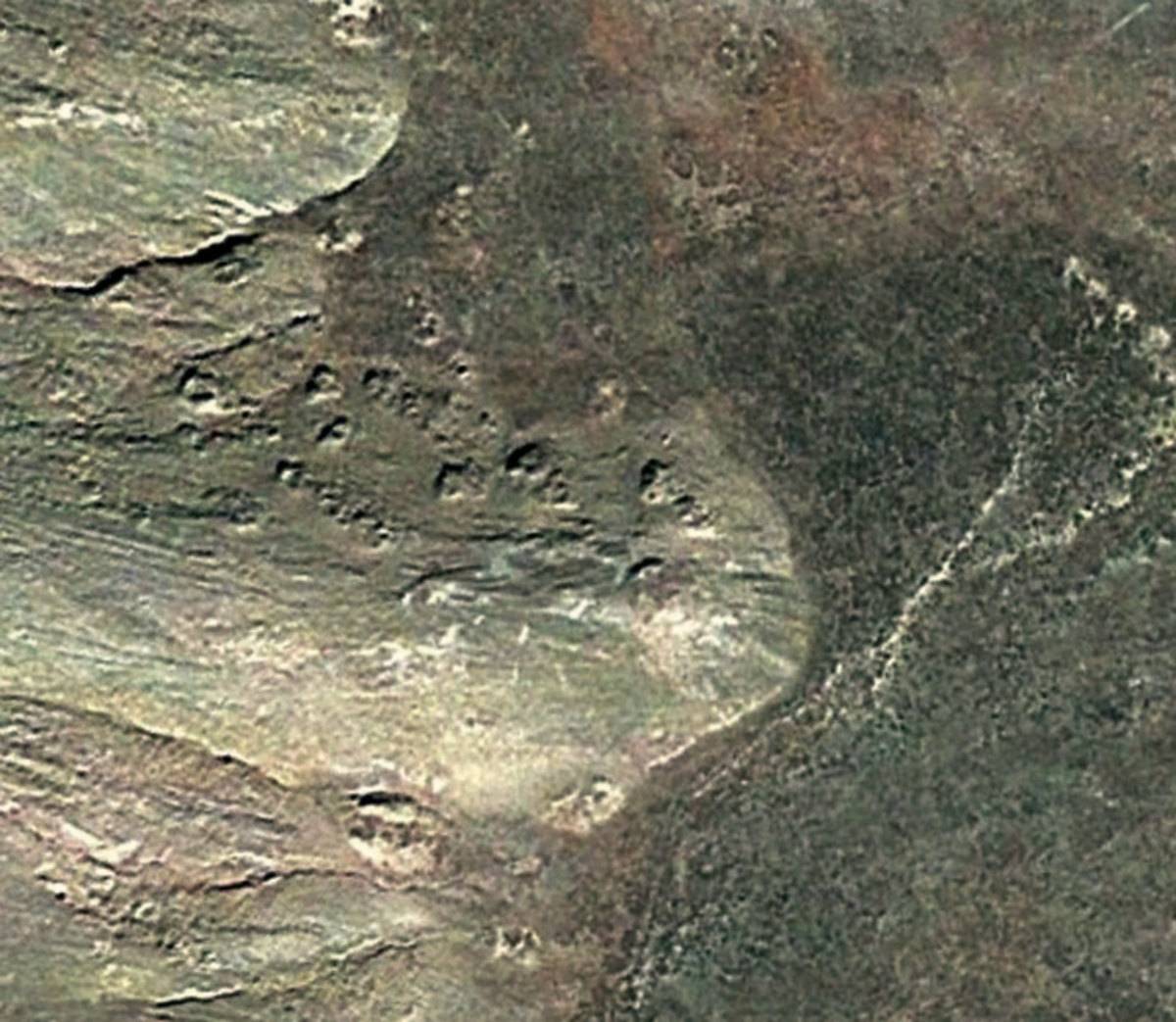
Fig. 3
Fig. 3: (Satellite Photo: Google|DigitalGlobe (12/2010))