#0315: Rtse gdong [Major Site]
- Town/Township
- Rtse gdong
- Coordinates
- 29°23'11", 89°14'39"
- Elevation
- 3830m
- Field Type
- FT-A
- Mound Type
- MT-B
- Additional Classification
- major site, additional mounds in vicinity
- Status
- v(2007)
Satellite Photo: Google|DigitalGlobe (04/2011); edited by G. Hazod 2007
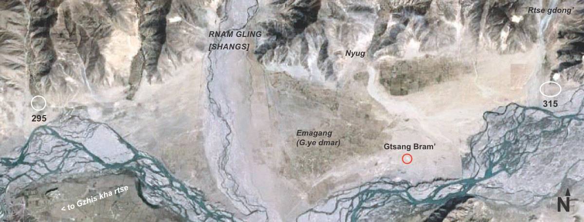
Fig. 1 Around the "border temple" of Gtsang 'Bram in Rnam gling County, the ancient G.yas ru Shangs.
Fig. 1: Around the "border temple" of Gtsang 'Bram in Rnam gling County, the ancient G.yas ru Shangs. (Satellite Photo: Google|DigitalGlobe (04/2011); edited by G. Hazod 2007)
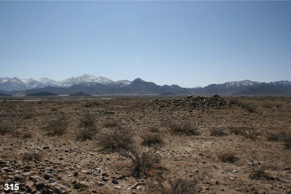
Photo: G. Hazod 2007
Fig. 2
Fig. 2: (Photo: G. Hazod 2007)
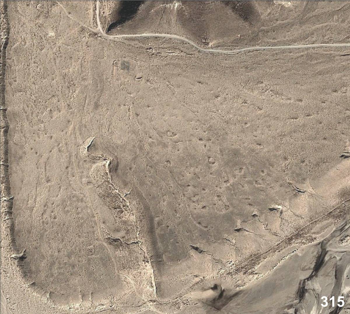
Satellite Photo: Google|DigitalGlobe (12/2012)
Fig. 3
Fig. 3: (Satellite Photo: Google|DigitalGlobe (12/2012))
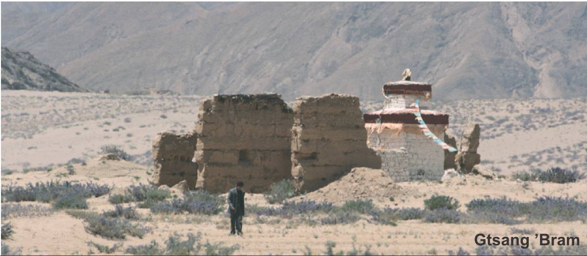
Photo: G. Hazod 2007
Fig. 4 "Border temple" of Gtsang 'Bram.
Fig. 4: "Border temple" of Gtsang 'Bram. (Photo: G. Hazod 2007)