#0354: Sa dga’-1
- Town/Township
- Dar rgyas gling
- Coordinates
- 29°30'04", 84°58'06"
- Elevation
- 4560m
- Field Type
- FT-A
- Mound Type
- MT-A(?)
- Status
- nv(sat)

Satellite Photo: Google|Maxar Technologies 2021 (11/2011); edited by G. Hazod 2021
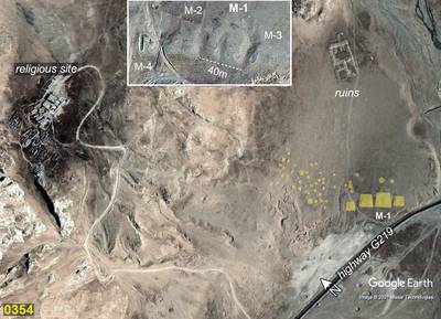
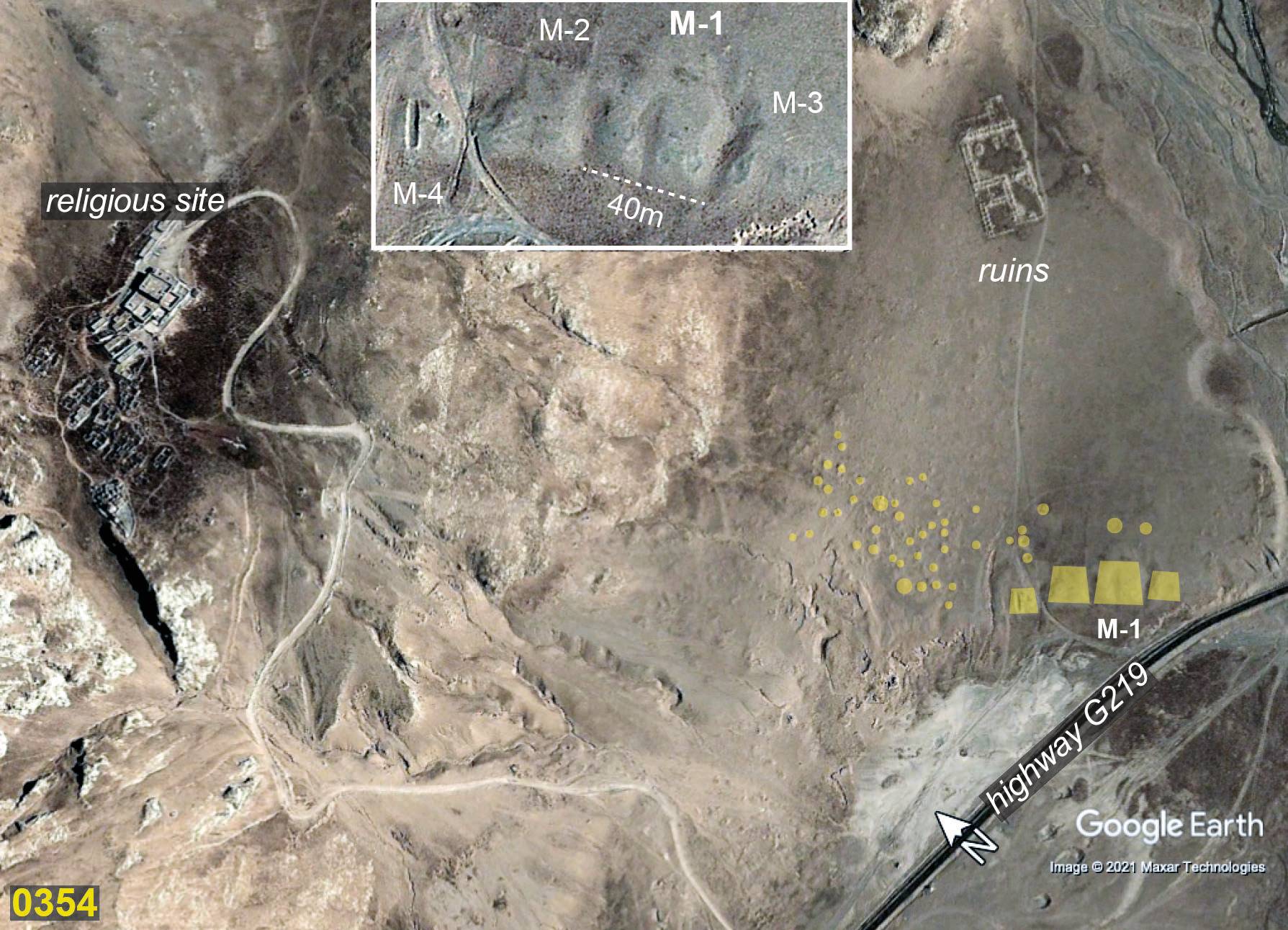
Fig. 1 The tumulus field of #0354.

Fig. 1: The tumulus field of #0354. (Satellite Photo: Google|Maxar Technologies 2021 (11/2011); edited by G. Hazod 2021)

Satellite Photo: Google|DigitalGlobe (04/2013); edited by G. Hazod 2014
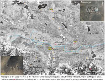
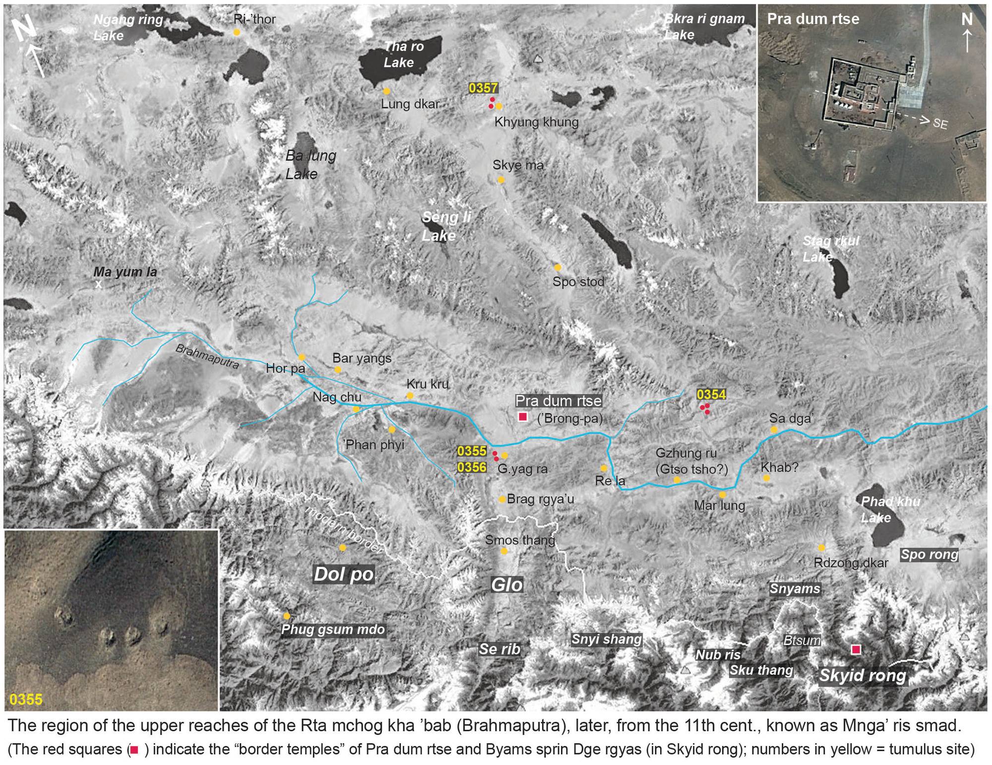
Fig. 2 The region of the upper reaches of the Rta mchog kha 'bab (Brahmaputra), later, from the 11th cent., known as Mnga‘ ris smad. (The red squares indicate the "border temples" of (Byang) Pra dum rtse and Byams sprin Dge rgyas (in Skyid rong).)

Fig. 2: The region of the upper reaches of the Rta mchog kha 'bab (Brahmaputra), later, from the 11th cent., known as Mnga‘ ris smad. (The red squares indicate the "border temples" of (Byang) Pra dum rtse and Byams sprin Dge rgyas (in Skyid rong).) (Satellite Photo: Google|DigitalGlobe (04/2013); edited by G. Hazod 2014)