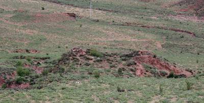
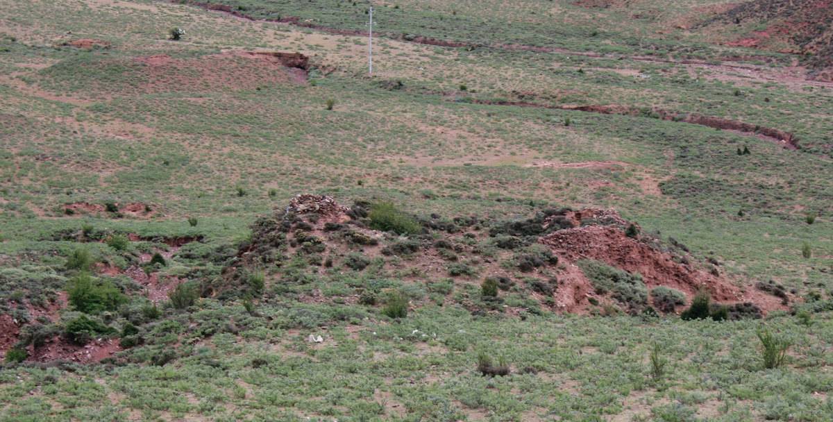
#0368: Pha phyugs rva pa [Major Site]
- Town/Township
- Dga’ ldan chos skor
- Coordinates
- 29°56'40", 91°16'50"
- Elevation
- 3900m
- Field Type
- FT-A
- Mound Type
- MT-A, MT-C (65m)
- Additional Classification
- major site, elite site
- Status
- v(2014)
Grave field #0368, situated due north of 'Phan po township, Lhun grub County.
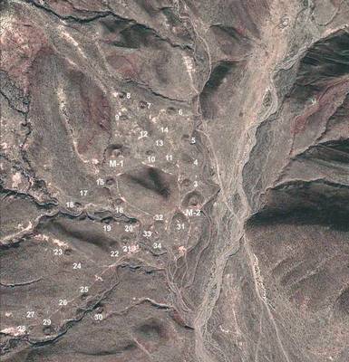
Satellite Photo: Google|DigitalGlobe (10/2011); edited by G. Hazod 2014
Fig. 1 The tumulus field of #0368, with ca. 35 larger trapezoidal mounds – walled structures covered with tamped earth. In addition, several groups of smaller, round/ oval shaped graves are to be found scattered in the field (not indicated on the map).

Fig. 1: The tumulus field of #0368, with ca. 35 larger trapezoidal mounds – walled structures covered with tamped earth. In addition, several groups of smaller, round/ oval shaped graves are to be found scattered in the field (not indicated on the map). (Satellite Photo: Google|DigitalGlobe (10/2011); edited by G. Hazod 2014)
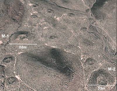
Satellite Photo: Google|DigitalGlobe (10/2011); edited by G. Hazod 2014
Fig. 2 #0368, upper (= northern) section of the field.
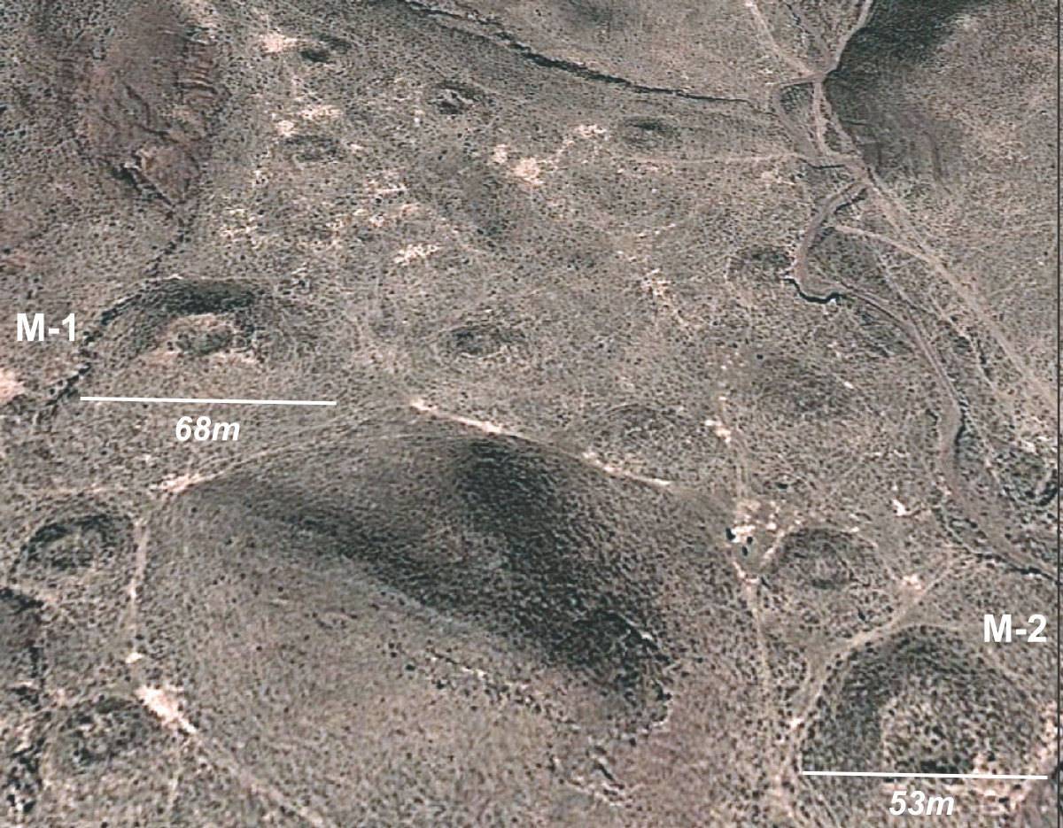
Fig. 2: #0368, upper (= northern) section of the field. (Satellite Photo: Google|DigitalGlobe (10/2011); edited by G. Hazod 2014)
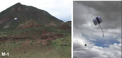
Photo: G. Hazod 2014
Fig. 3 Kite with camera for "Structure from Motion" (SfM) documentation flying over M-1 of #0368.
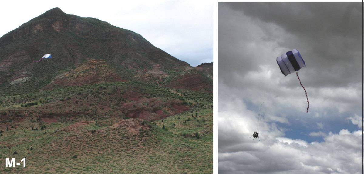
Fig. 3: Kite with camera for "Structure from Motion" (SfM) documentation flying over M-1 of #0368. (Photo: G. Hazod 2014)
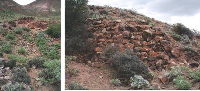
Photo: G. Hazod 2014
Fig. 4 Details of tombs of #0368.
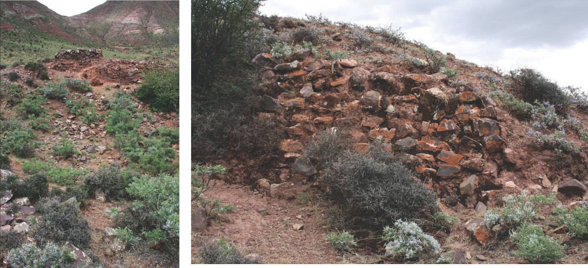
Fig. 4: Details of tombs of #0368. (Photo: G. Hazod 2014)
