#0369: Lha lung
- Town/Township
- Rdza ra
- Coordinates
- 28°22'13", 90°42'18"
- Elevation
- 4225m
- Field Type
- FT-A
- Mound Type
- MT-A
- Status
- nv(sat)
Satellite Photo: Google|DigitalGlobe (02/2011); edited by G. Hazod 2014
Fig. 1 Map of the surrounding areas.
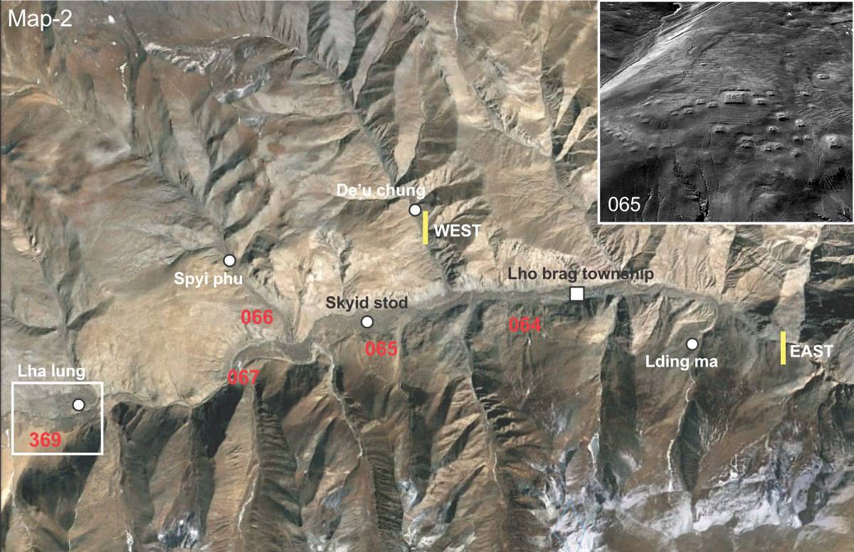
Fig. 1: Map of the surrounding areas. (Satellite Photo: Google|DigitalGlobe (02/2011); edited by G. Hazod 2014)
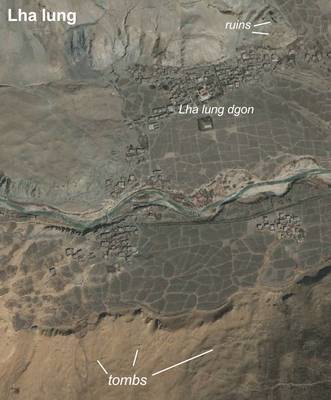
Satellite Photo: Google|DigitalGlobe (02/2011); edited by G. Hazod 2014
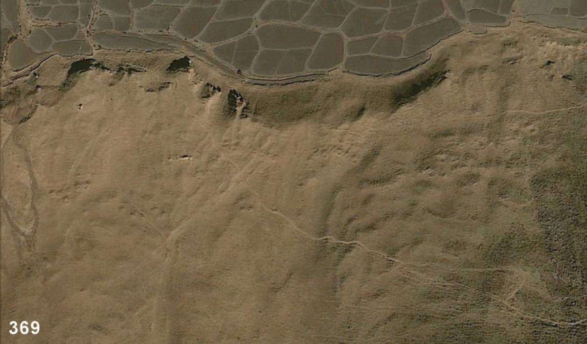
Fig. 2 Satellite photo of Lha lung.
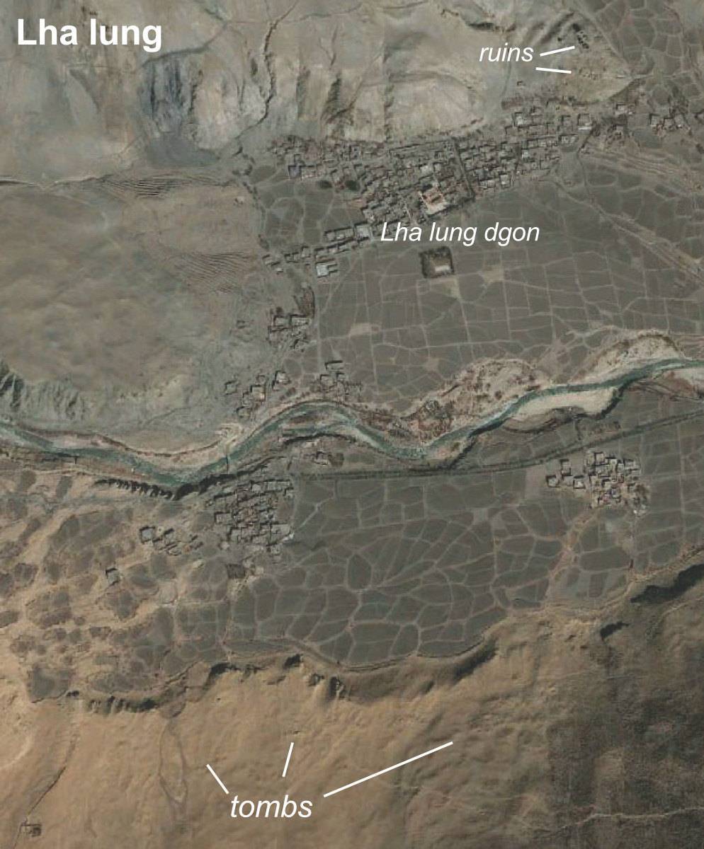
Fig. 2: Satellite photo of Lha lung. (Satellite Photo: Google|DigitalGlobe (02/2011); edited by G. Hazod 2014)
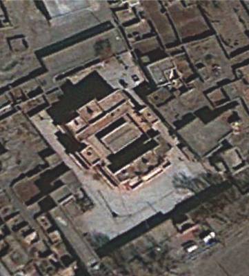
Satellite Photo: Google|DigitalGlobe (02/2011)
Fig. 3 Lha lung dgon pa. The original foundation of the famous monastery is attributed to Lha lung Dpal gyi rdo rje (9th c.), whose lineage was based in Lha lung (c.f. Hazod 2014a).
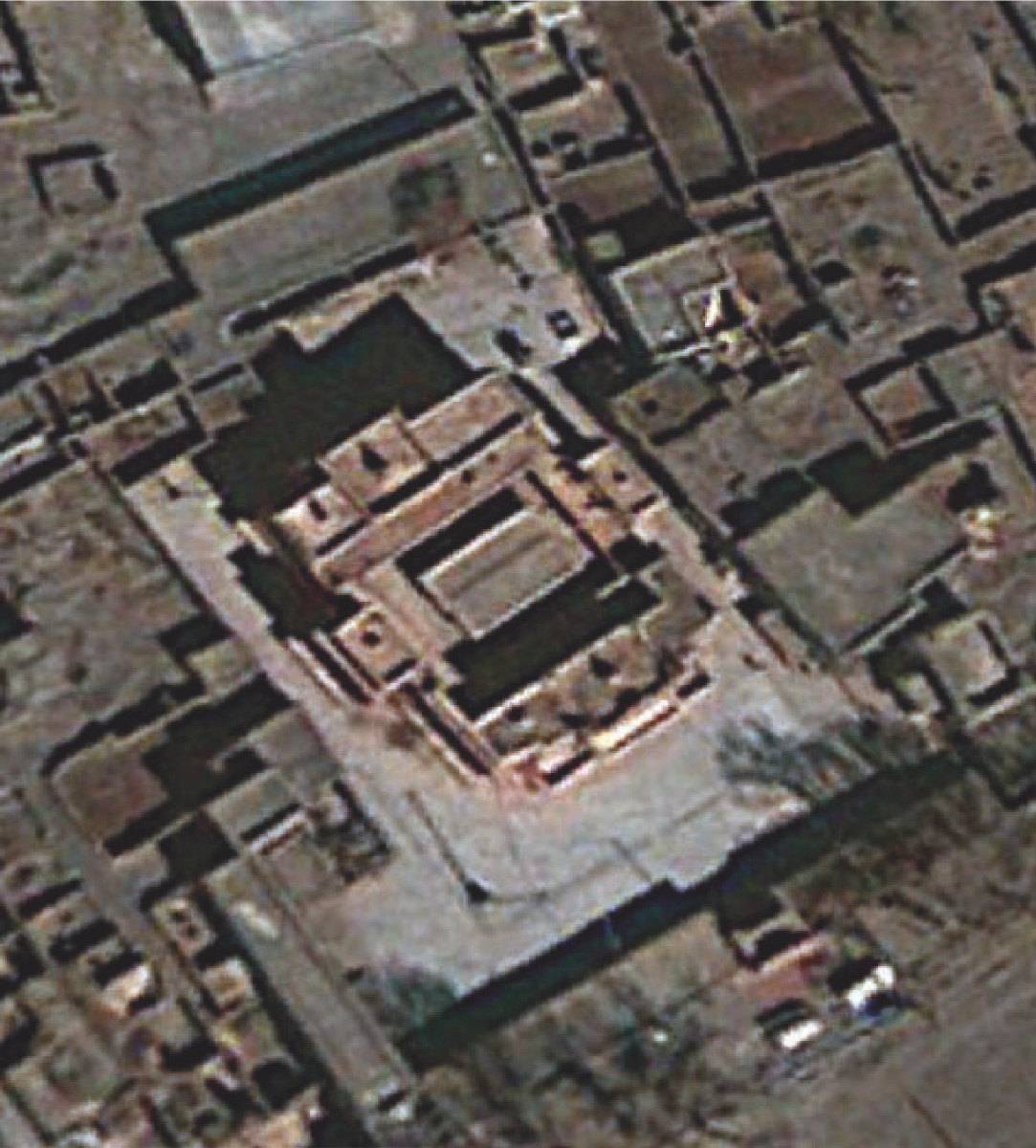
Fig. 3: Lha lung dgon pa. The original foundation of the famous monastery is attributed to Lha lung Dpal gyi rdo rje (9th c.), whose lineage was based in Lha lung (c.f. Hazod 2014a). (Satellite Photo: Google|DigitalGlobe (02/2011))
