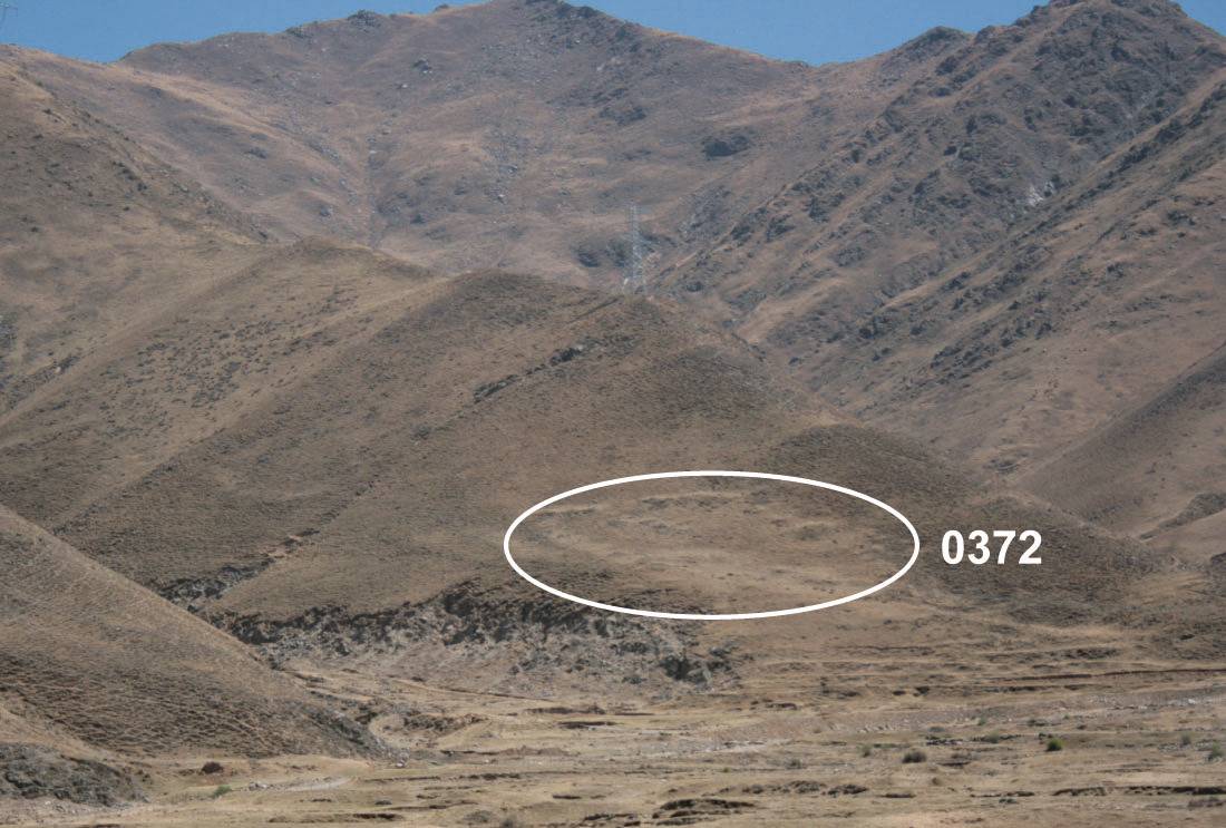
#0372: Skyor mo lung-1b
- Town/Township
- Sbyar rags
- Coordinates
- 29°38'15", 90°55'17"
- Elevation
- 3875m
- Field Type
- FT-A
- Mound Type
- MT-A (15m)
- Status
- v(2019)
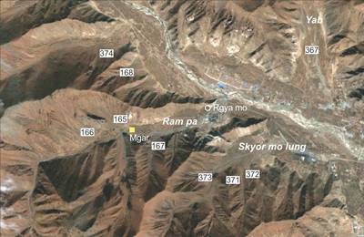
The Grave fields in and around Ram pa of Lower Stod lung (Fig. 1.). (Tibetan sources from the post-imperial period chronicle Ram pa as the birthplace of the 7th-cent. minister Mgar Stong btsan yul zung (yellow symbol; Fig. 3) who reportedly later had his rendezvous with the Chinese Princess (Kong jo) in Rgya mo, the village situated at the entrance to the valley; see RCP, p. 144, s.v. index.).
Satellite Photo: Google|DigitalGlobe (11/2009); edited by G. Hazod 2014
Fig. 1 Around Ram pa of Lower Stod lung.
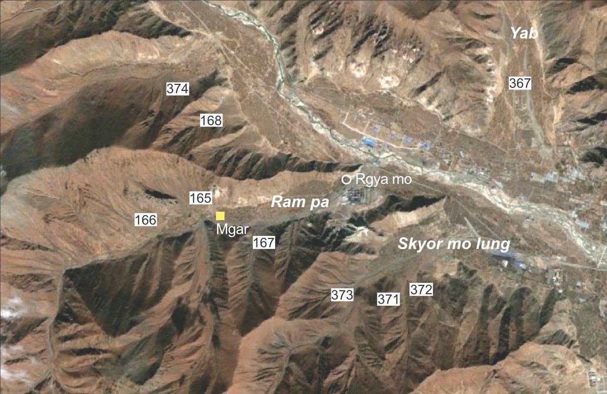
Fig. 1: Around Ram pa of Lower Stod lung. (Satellite Photo: Google|DigitalGlobe (11/2009); edited by G. Hazod 2014)
Satellite Photo: Google|DigitalGlobe (11/2009)
Fig. 2 Satellite photo of #0371 and #0372.
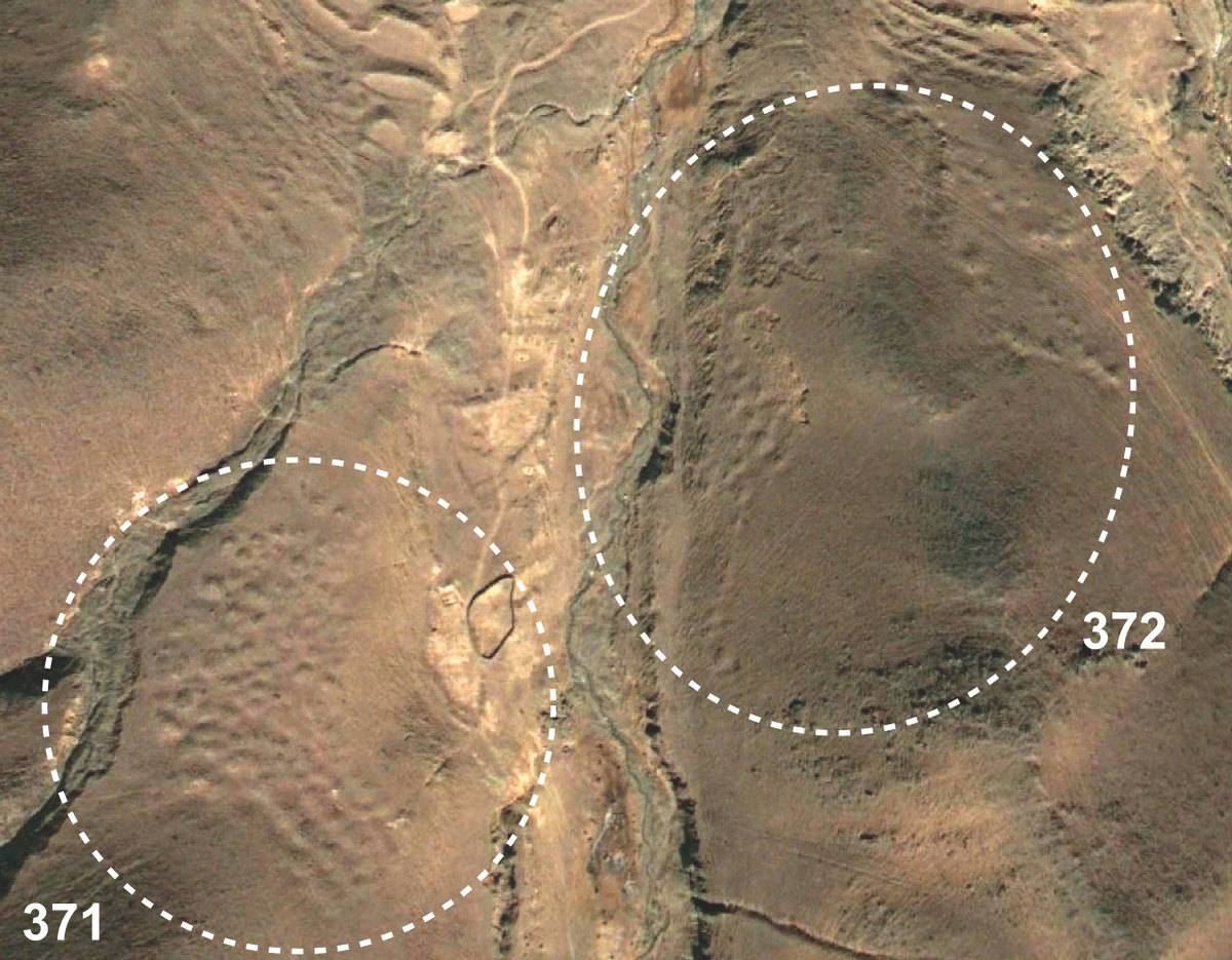
Fig. 2: Satellite photo of #0371 and #0372. (Satellite Photo: Google|DigitalGlobe (11/2009))

Photo: G. Hazod 2007
Fig. 3 The birthplace of blon chen Mgar in Ram pa.

Fig. 3: The birthplace of blon chen Mgar in Ram pa. (Photo: G. Hazod 2007)
