#0403: Btsun mo tshal-2
- Town/Township
- La mo
- Coordinates
- 29°47'01", 91°36'00"
- Elevation
- 3935m
- Field Type
- FT-A
- Mound Type
- MT-C (20m)
- Status
- nv(sat)
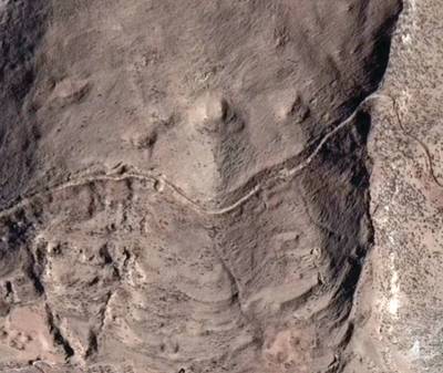
Satellite Photo: Google|DigitalGlobe (12/2014)
Fig. 1
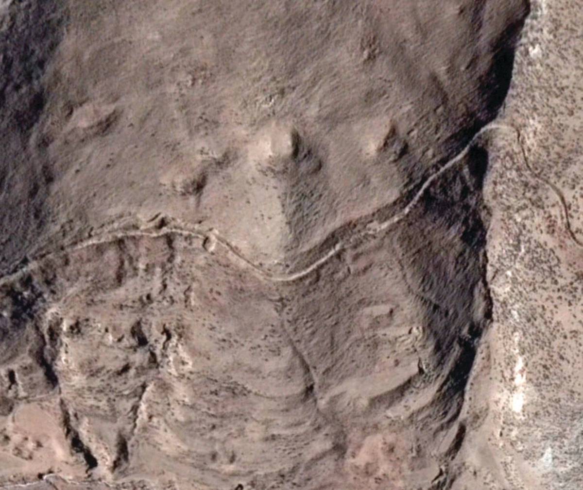
Fig. 1: (Satellite Photo: Google|DigitalGlobe (12/2014))
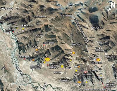
Satellite Photo: Google|DigitalGlobe (10/2011); edited by G. Hazod 2019
Fig. 2 Map: Below Dbang skur ri-The burial mound sites between La mo and Gru bzhi (Lhas) (#0136, #0137, #0138, #0139, #0140, #0141, #0142, #0143, #0610, #0403, #0404, #0611, #0615, #0616)

Fig. 2: Map: Below Dbang skur ri-The burial mound sites between La mo and Gru bzhi (Lhas) (#0136, #0137, #0138, #0139, #0140, #0141, #0142, #0143, #0610, #0403, #0404, #0611, #0615, #0616) (Satellite Photo: Google|DigitalGlobe (10/2011); edited by G. Hazod 2019)
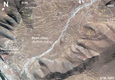
Satellite Photo: Google|DigitalGlobe (12/2014); edited by G. Hazod 2019
Fig. 3 The tumulus sites of Byan chen, a.k.a Byen ('Dzen-, 'Jen-) chen), the Brdzen t(h)ang of the Old Tibetan Annals (#0136, #0403).
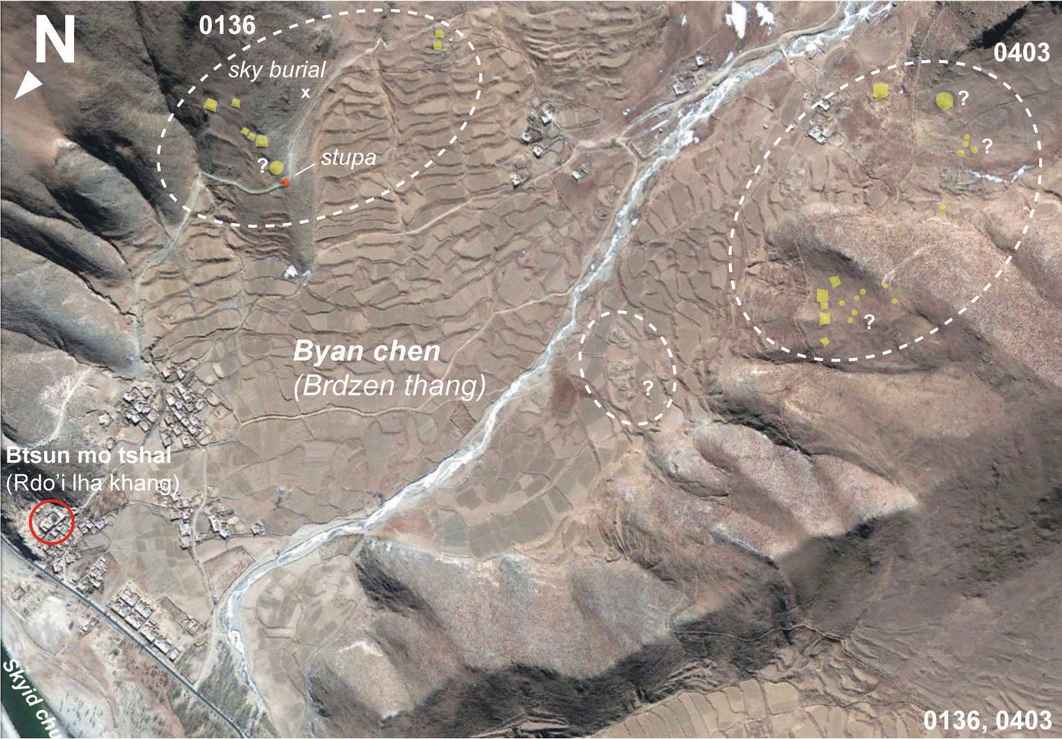
Fig. 3: The tumulus sites of Byan chen, a.k.a Byen ('Dzen-, 'Jen-) chen), the Brdzen t(h)ang of the Old Tibetan Annals (#0136, #0403). (Satellite Photo: Google|DigitalGlobe (12/2014); edited by G. Hazod 2019)