#0405: Chos lung-2
- Town/Township
- Bsam grub gling
- Coordinates
- 29°38'19", 91°18'04"
- Elevation
- 3830m
- Field Type
- FT-A
- Mound Type
- MT-C (25m)
- Status
- nv(sat)
Satellite Photo: Google|DigitalGlobe (01/2005)
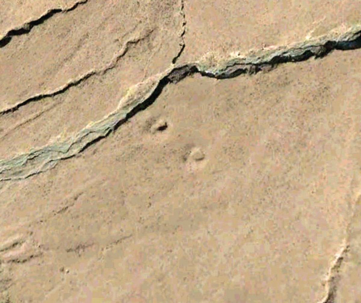
Fig. 1
Fig. 1: (Satellite Photo: Google|DigitalGlobe (01/2005))
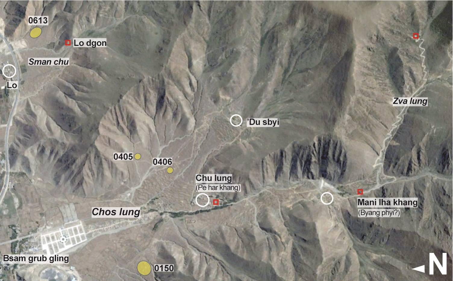
Satellite Photo: Google|DigitalGlobe (10/2015); edited by G. Hazod 2019
Fig. 2 Map of Chos lung and Lo (#0150, #0405, #0406, #0613).
Fig. 2: Map of Chos lung and Lo (#0150, #0405, #0406, #0613). (Satellite Photo: Google|DigitalGlobe (10/2015); edited by G. Hazod 2019)