#0043: Lcag ri [Major Site]
- Town/Township
- Smon grub
- Coordinates
- 29°07'60", 91°26'07"
- Elevation
- 3855m
- Field Type
- FT-C
- Mound Type
- MT-C (50m)
- Additional Classification
- major site
- Status
- v(2014)
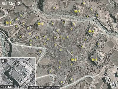
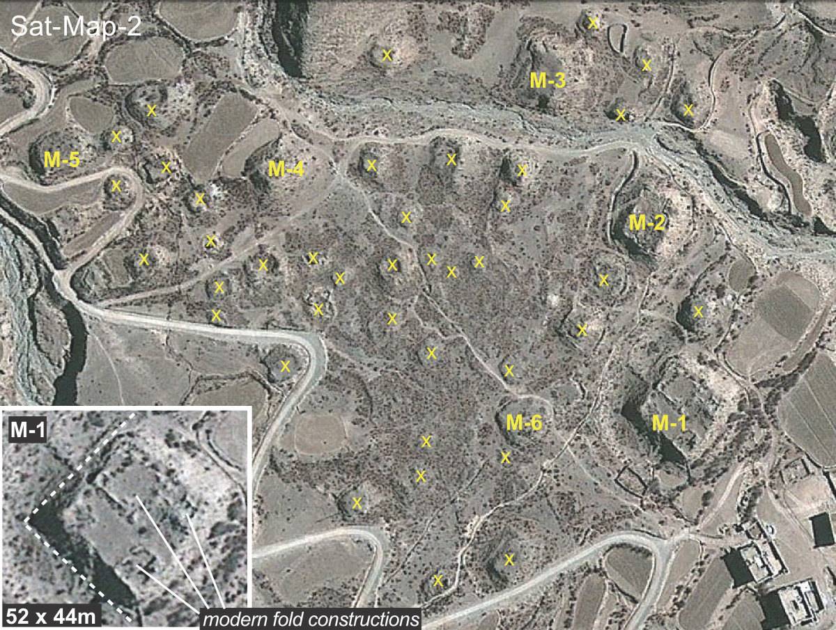
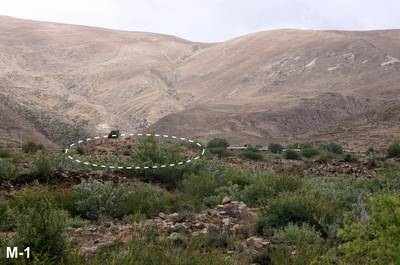
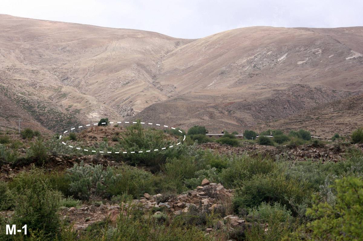
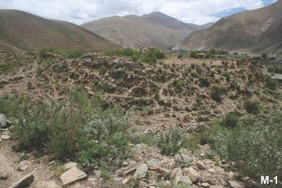
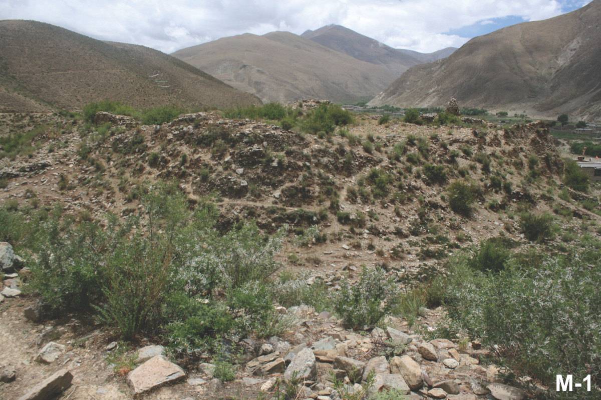
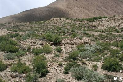
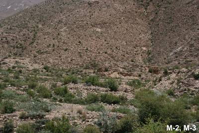
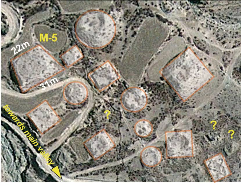
The grave field #0043 in Upper Grva phyi.
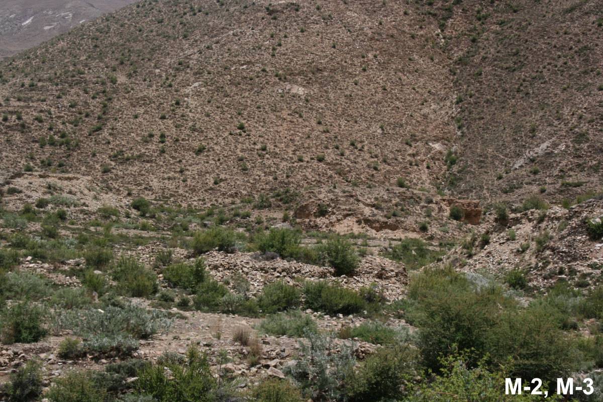
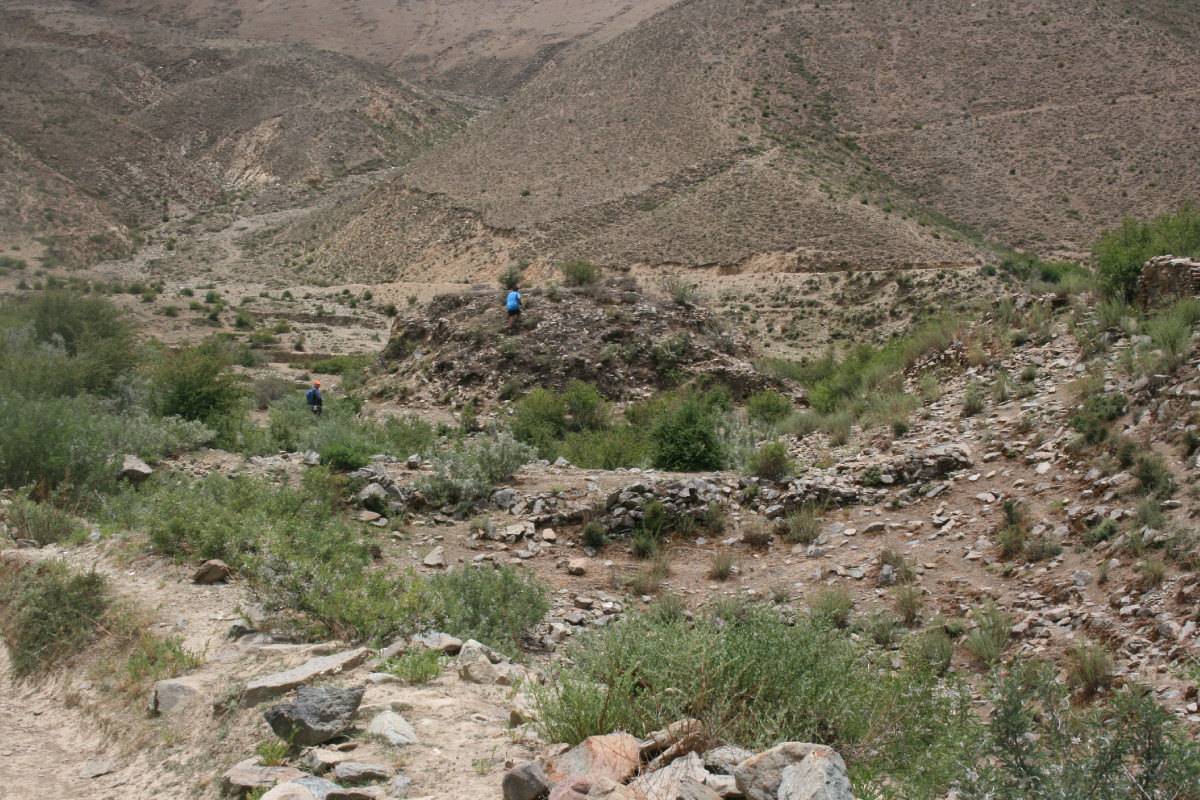
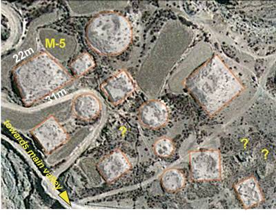
It consists of more than 50 tombs (mostly of MT-C type) situated in the field locally known as Lcags ri; the latter a designation often used for not further specified artificial constructions. The field is surrounded by two "minister mountains" (above, Sat-Map-1).
Satellite Photo: Google|DigitalGlobe; edited by G. Hazod 2022
Fig. 1 The grave fields of the Grva district.
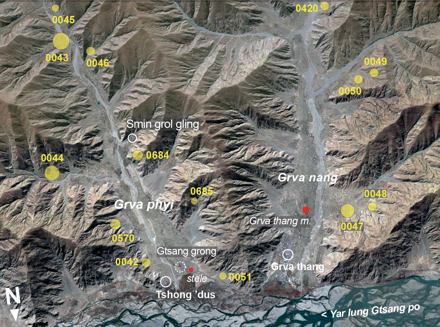
Fig. 1: The grave fields of the Grva district. (Satellite Photo: Google|DigitalGlobe; edited by G. Hazod 2022)

Satellite Photo: Google|DigitalGlobe (03/2012)
Fig. 2
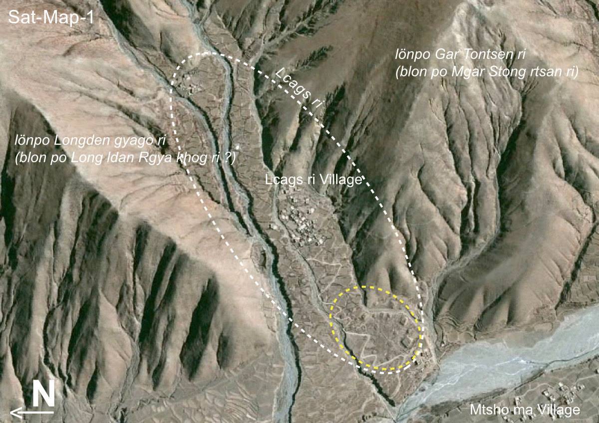
Fig. 2: (Satellite Photo: Google|DigitalGlobe (03/2012))
