home
sites
id
46
Menu
home
about
about
term, project team & cooperation
thematic introduction
first-tomb
basic-topography
field-types
topography-and-history-1
topography-and-history-2
tombs-and-clan
mound-types
chronology-1
chronology-2
distance
chambered-tombs
side-chambered-tombs
natural-tombs
marked-tombs
many-tombs
around-the-tombs-1
around-the-tombs-2
around-the-tombs-3
destruction-1
destruction-2
royal-tombs-1
placement
royal-tombs-2
what-happened-in-on
perception
coexistence
examples-of-grave-fields
sites
introduction-and-legend
sites-by-id
Nagchu
Shigatse
Lhasa
Nyingtri
Lhokha
map archive
Overview
Tumulus fields in the "horn" provinces
dbu ru (central horn)
g.yo ru (left horn)
g.yas ru (right horn)
ru lag ("additional" horn)
Lower Western Tibet
bibliography
tar: toponym search
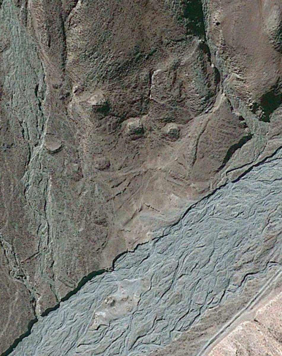
#0046: Ra ba
Town/Township
Smon grub
Coordinates
29°08'29", 91°25'03"
Elevation
3895m
Field Type
FT-A
Mound Type
MT-C (25m)
Status
nv(sat)
Fig. 1
Fig. 1: ()
⮾