#0463: Zhal-2
- Town/Township
- Tshal Gung thang
- Coordinates
- 29°36'39", 91°12'57"
- Elevation
- 3875m
- Field Type
- FT-A
- Mound Type
- MT-C (30m(?))
- Status
- v(2019)
For a first survey of this (11th cent.?) site, see: https://mp.weixin.qq.com/s/J1LjWPQFf5p-cOopxylRAw, https://mp.weixin.qq.com/s/0BwHFOX1nbpYNqW-x4VOKg. For Zhal (and neighbouring Sri), see RCP 2007, s.v. index.
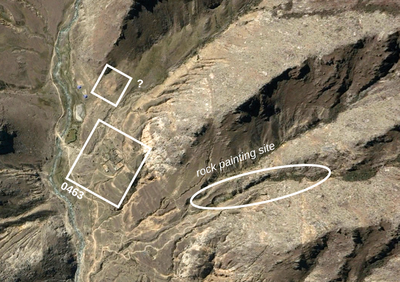
Satellite Photo: Google|DigitalGlobe (11/2009); edited by G. Hazod 2017
Fig. 1 In Upper Zhal.
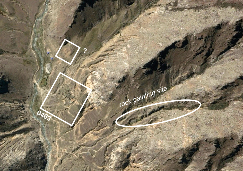
Fig. 1: In Upper Zhal. (Satellite Photo: Google|DigitalGlobe (11/2009); edited by G. Hazod 2017)

Satellite Photo: Google|DigitalGlobe (11/2009); edited by G. Hazod 2017
Fig. 2 #0463 central section.
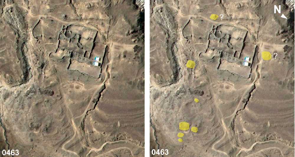
Fig. 2: #0463 central section. (Satellite Photo: Google|DigitalGlobe (11/2009); edited by G. Hazod 2017)
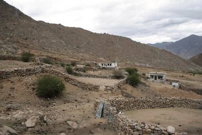
Photo: G. Hazod 2019
Fig. 3 This settlement of Zhal phu appears to have been built partly over an older burial mound field.
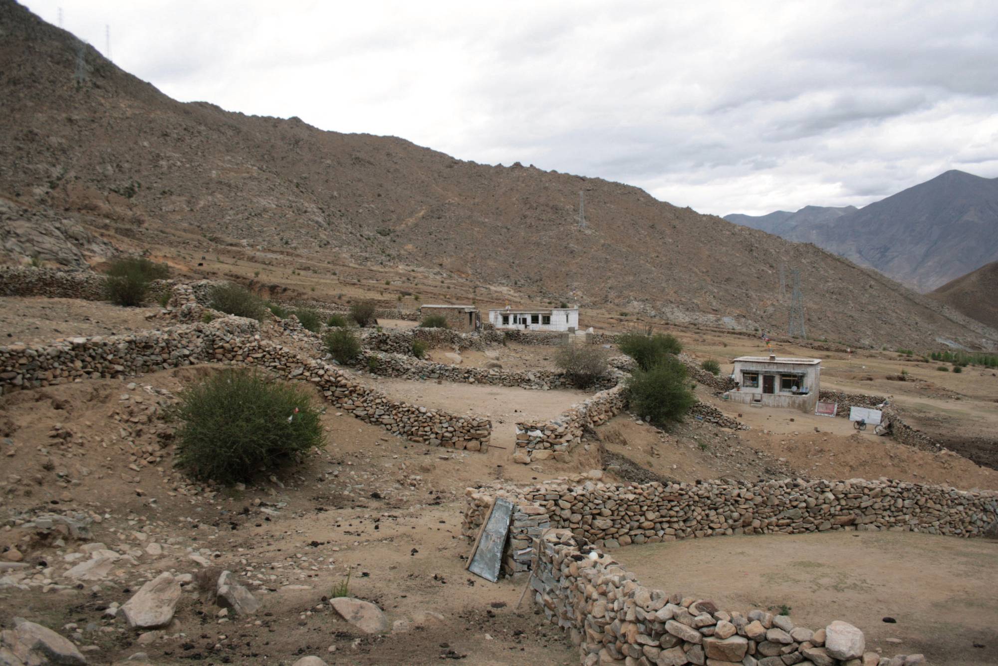
Fig. 3: This settlement of Zhal phu appears to have been built partly over an older burial mound field. (Photo: G. Hazod 2019)

Photo: G. Hazod 2019
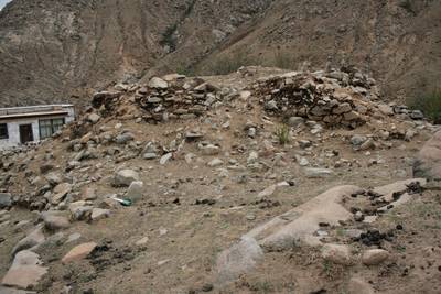
Fig. 5 Remains of stupa or stupa shaped mound.

Fig. 5: Remains of stupa or stupa shaped mound. (Photo: G. Hazod 2019)
Satellite Photo: Google|DigitalGlobe (11/2009); edited by G. Hazod 2017
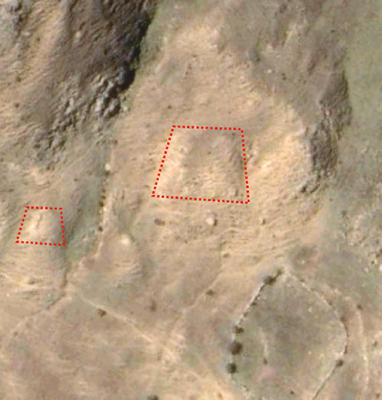
Fig. 6 Uncertain structures at #0463 (see Fig. 1).
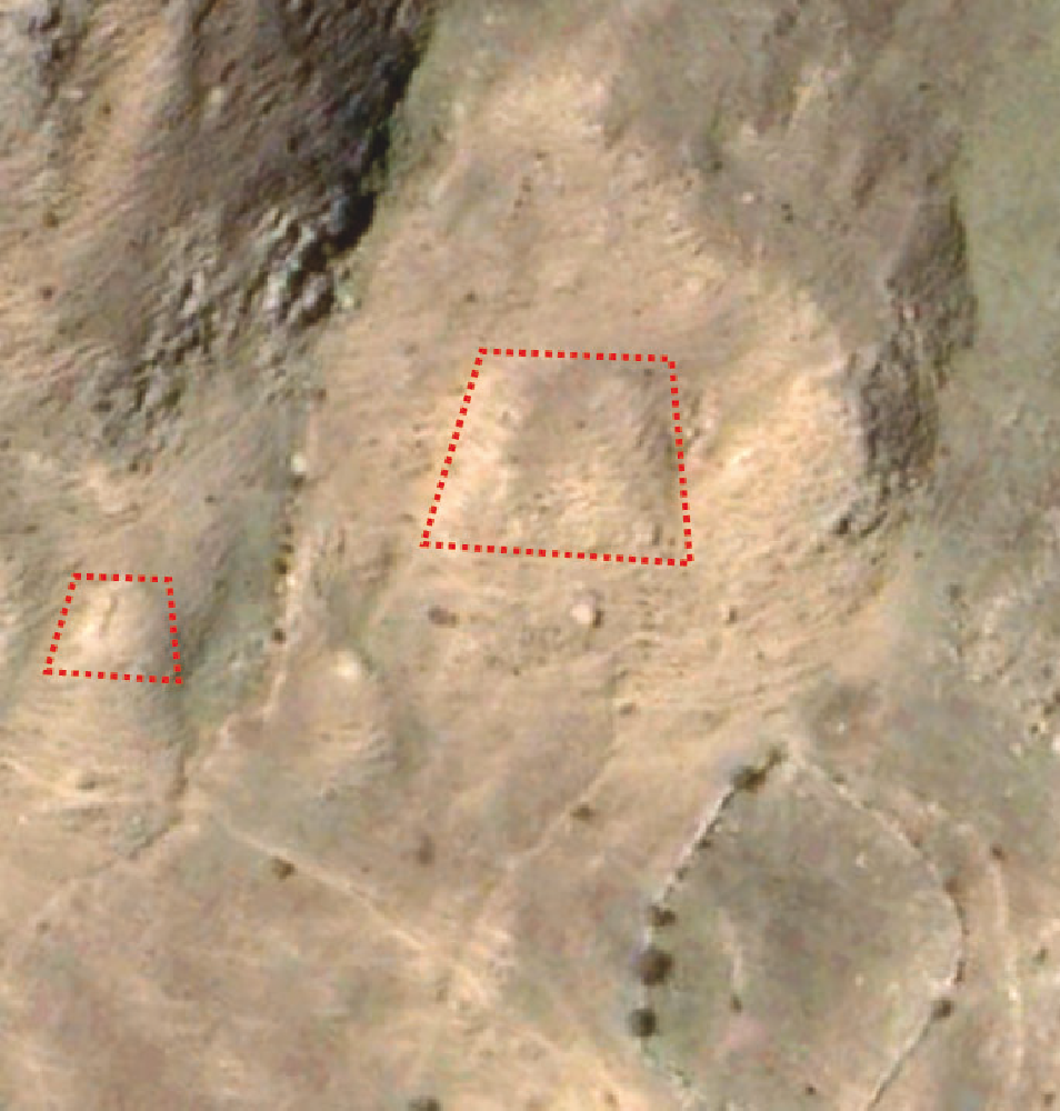
Fig. 6: Uncertain structures at #0463 (see Fig. 1). (Satellite Photo: Google|DigitalGlobe (11/2009); edited by G. Hazod 2017)
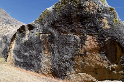
Photo: Shawo Khacham 02/2017
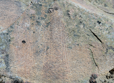
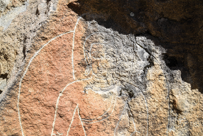
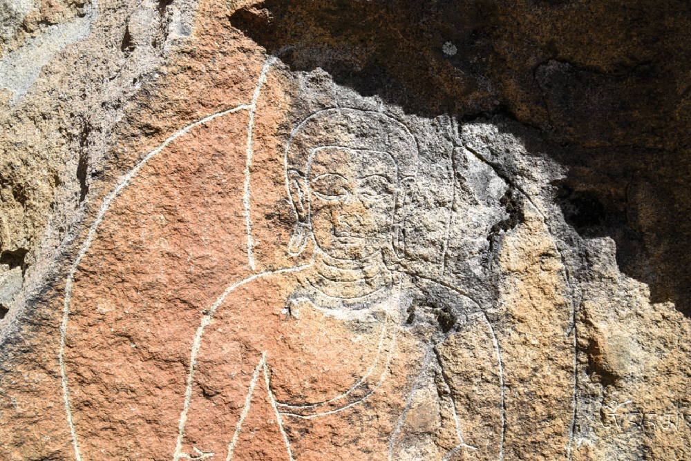
Fig. 7 Images of the rock engravings recently discovered in Upper Zhal.
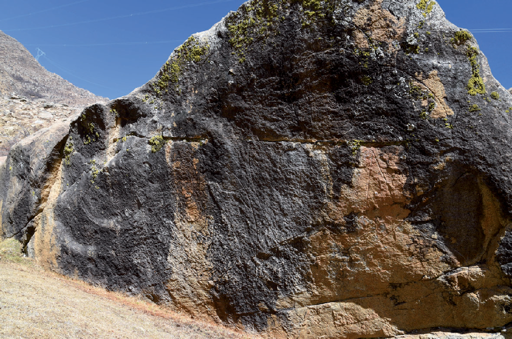
Fig. 7: Images of the rock engravings recently discovered in Upper Zhal. (Photo: Shawo Khacham 02/2017)
