#0481: G.yag sde-4
- Town/Township
- Khang gzhung
- Coordinates
- 29°14'30", 90°04'38"
- Elevation
- 4530m
- Field Type
- FT-A
- Mound Type
- MT-C (15m)
- Status
- nv(sat)
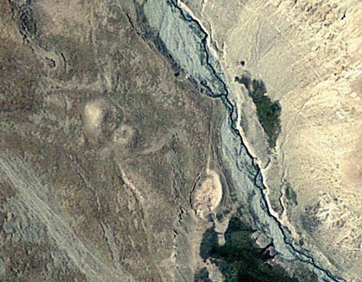
Satellite Photo: Google|DigitalGlobe (10/2010)
Fig. 1
Fig. 1: (Satellite Photo: Google|DigitalGlobe (10/2010))