#0495: Mkhar stod-8 [Major Site]
- Town/Township
- Mkhar stod
- Coordinates
- 29°05'27", 89°37'12"
- Elevation
- 4190m
- Field Type
- FT-A, FT-C
- Mound Type
- MT-C (35m)
- Additional Classification
- major site
- Status
- nv(sat)
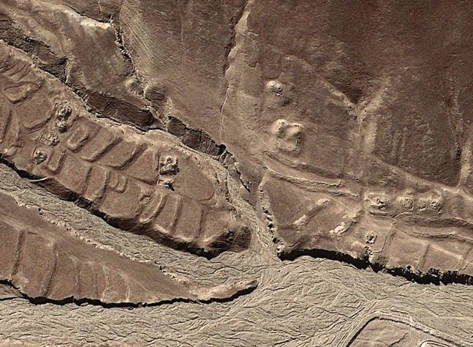
Satellite Photo: Google|DigitalGlobe (12/2011)
Fig. 1
Fig. 1: (Satellite Photo: Google|DigitalGlobe (12/2011))