#0598: Ljags thang [Major Site]
- Town/Township
- Bkra shis ’dzoms
- Coordinates
- 29°17'20", 87°47'16"
- Elevation
- 4005m
- Field Type
- FT-A
- Mound Type
- MT-C (35m)
- Additional Classification
- major site
- Status
- nv(sat)

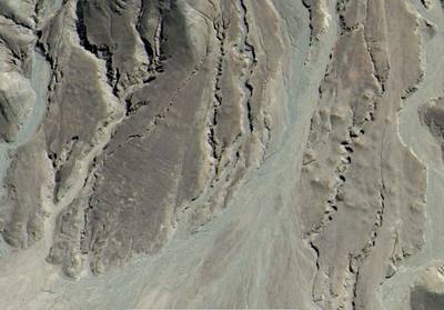
Satellite Photo: Google|DigitalGlobe (10/2007)
Fig. 1

Fig. 1: (Satellite Photo: Google|DigitalGlobe (10/2007))

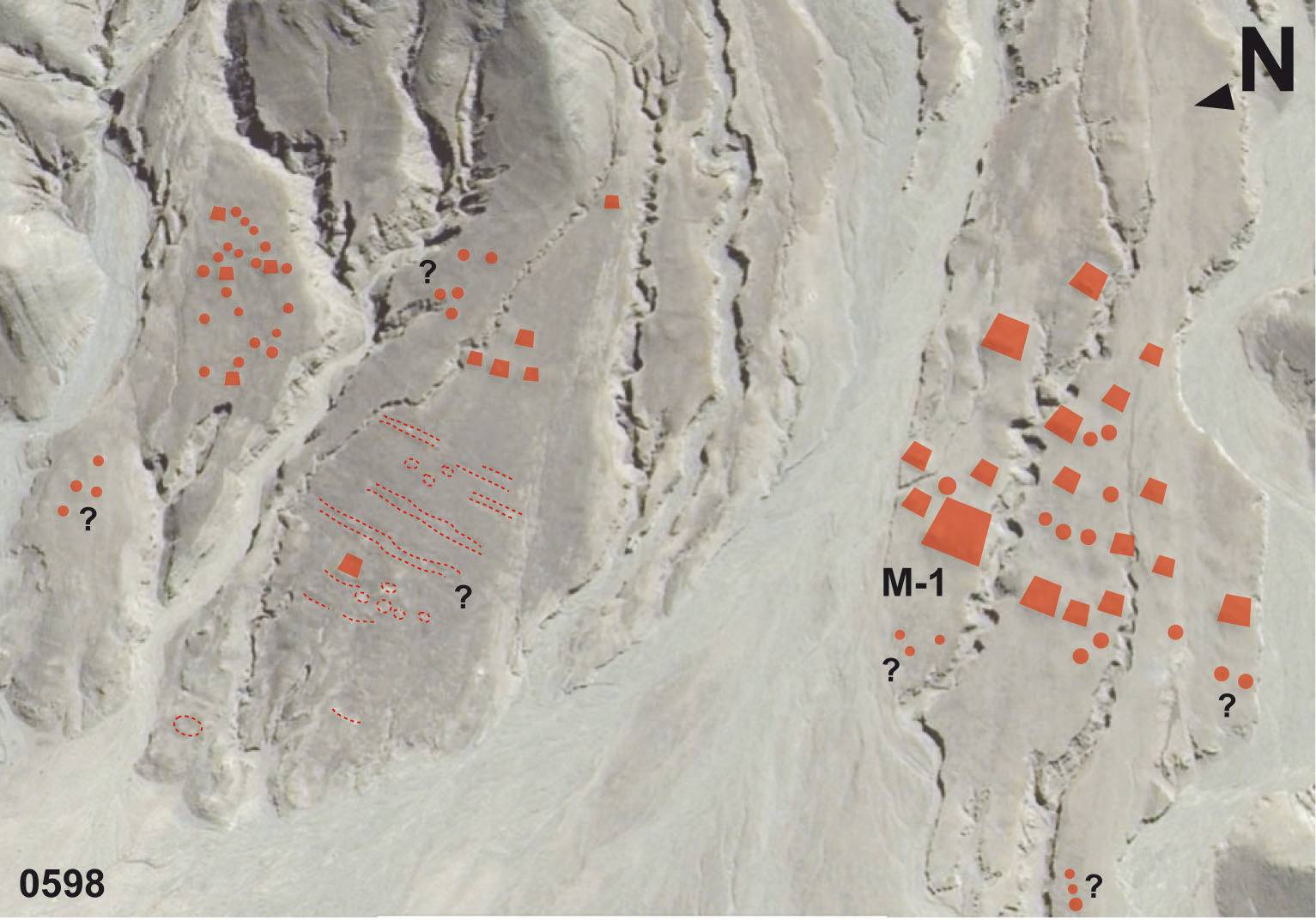
Satellite Photo: Google|DigitalGlobe (10/2007); edited by G. Hazod 2018
Fig. 2

Fig. 2: (Satellite Photo: Google|DigitalGlobe (10/2007); edited by G. Hazod 2018)

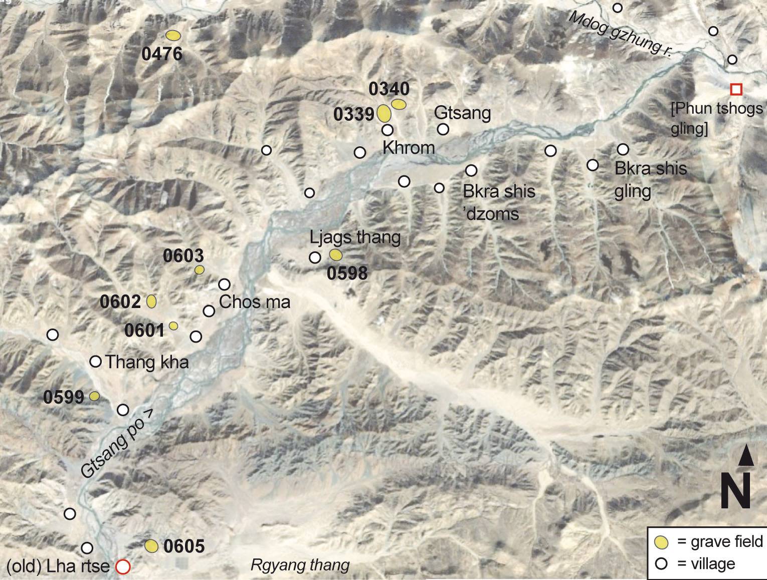
Map based on sat-photo 10/2007; DigitalGlobe 2018
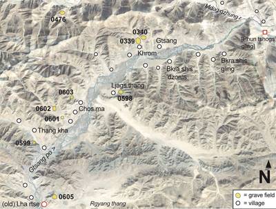
Fig. 3 The burial mound sites registered for the old Lha rtse district (stong sde) of Upper Ru lag (Jan. 2019)

Fig. 3: The burial mound sites registered for the old Lha rtse district (stong sde) of Upper Ru lag (Jan. 2019) (Map based on sat-photo 10/2007; DigitalGlobe 2018)