#0672: Bkra mthong-3
- Town/Township
- Bkra shis Mthong smon
- Coordinates
- 28°12'56", 92°26'16"
- Elevation
- 3780m
- Field Type
- FT-B
- Mound Type
- MT-C (25m)
- Additional Classification
- single tomb
- Status
- nv(sat)
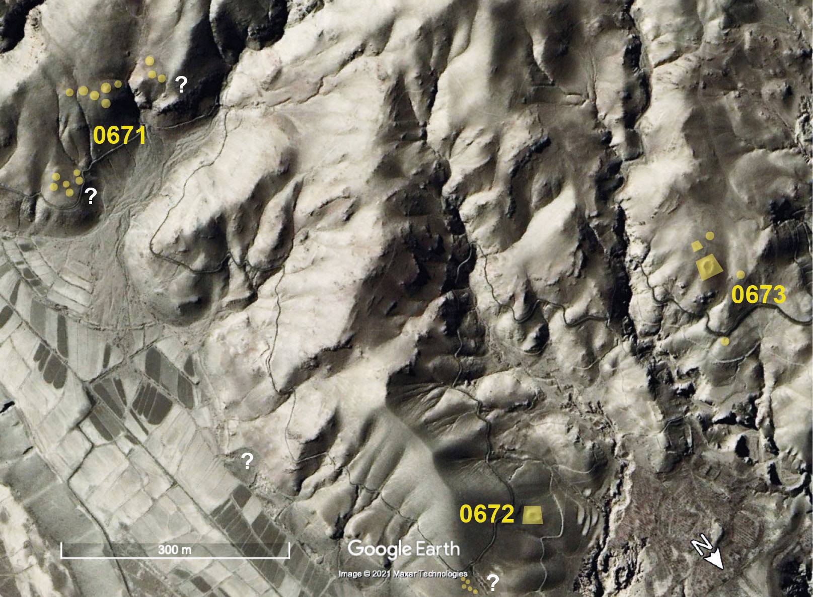
Satellite Photo: Google|Maxar Technologies (12/2020); edited by G. Hazod 2021
Fig. 1 The tumulus sites of #0671-73.
Fig. 1: The tumulus sites of #0671-73. (Satellite Photo: Google|Maxar Technologies (12/2020); edited by G. Hazod 2021)