#0068: Lho brag-5
- Town/Township
- Rdza ra
- Coordinates
- 28°21'32", 90°38'16"
- Elevation
- 4420m
- Field Type
- FT-A
- Mound Type
- MT-B, MT-C
- Additional Classification
- 100+ tombs
- Status
- nv(sat)
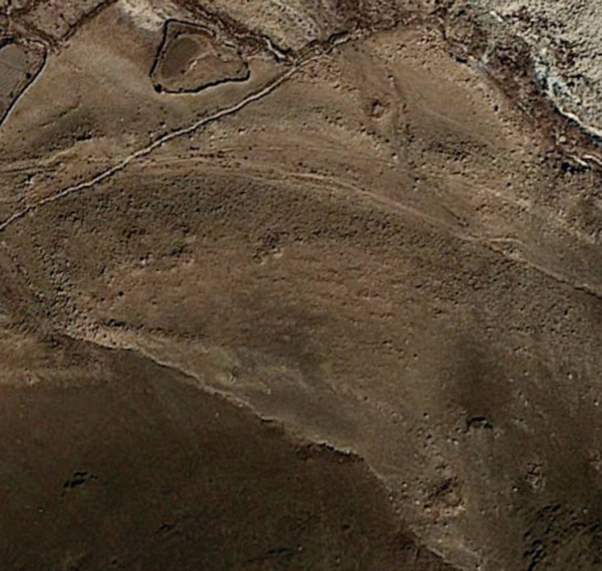
Satellite Photo: Google|DigitalGlobe (02/2011)
Fig. 1
Fig. 1: (Satellite Photo: Google|DigitalGlobe (02/2011))
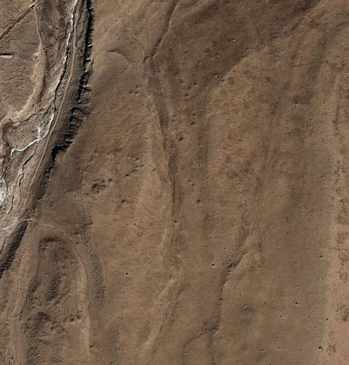
Satellite Photo: Google|DigitalGlobe (02/2011)
Fig. 2
Fig. 2: (Satellite Photo: Google|DigitalGlobe (02/2011))