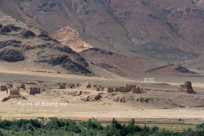
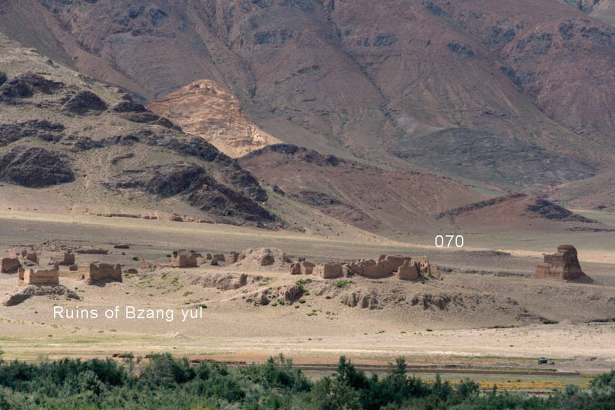
#0070: Bzang yul [Major Site]
- Town/Township
- Gsum pa
- Coordinates
- 28°24'43", 92°20'51"
- Elevation
- 3960m
- Field Type
- FT-A
- Mound Type
- MT-B, MT-C (40m)
- Additional Classification
- major site
- Status
- v(2009)
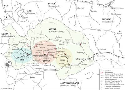
Map: G. Hazod 2013
Fig. 1 Map of the ancient district of Gnyal.
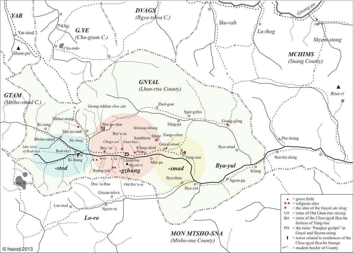
Fig. 1: Map of the ancient district of Gnyal. (Map: G. Hazod 2013)
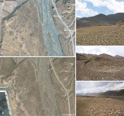
Photo: G. Hazod 2009; Satellite Photo: Google|DigitalGlobe (04/2011); edited by G. Hazod 2013
Fig. 2 The necropolis near the ancient ruins of Bzang yul in Central Gnyal (#0070). The satellite photographs of 2008 (1) and 2013 (2) show the recent destruction of the central grave by modern construction works.Most of the tombs appear to be of the stone-raised type of mounds (MT-B) and are lettered with pebbles.
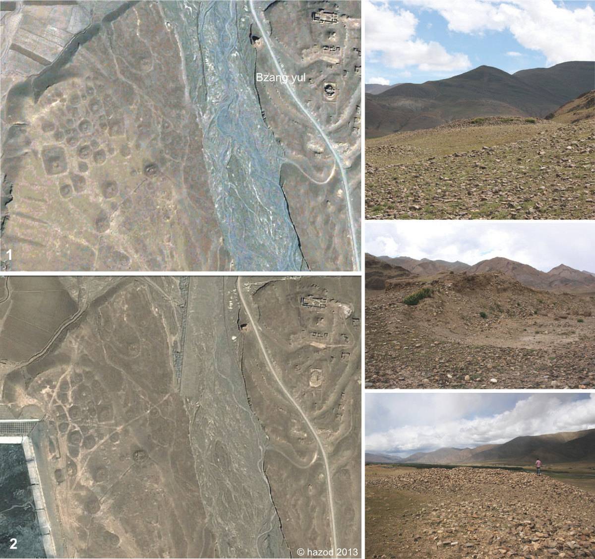
Fig. 2: The necropolis near the ancient ruins of Bzang yul in Central Gnyal (#0070). The satellite photographs of 2008 (1) and 2013 (2) show the recent destruction of the central grave by modern construction works.Most of the tombs appear to be of the stone-raised type of mounds (MT-B) and are lettered with pebbles. (Photo: G. Hazod 2009; Satellite Photo: Google|DigitalGlobe (04/2011); edited by G. Hazod 2013)
Map: G. Hazod 2021; Satellite Photo: Google|Maxar Technologies (12/2010); modifications and additional data by the author
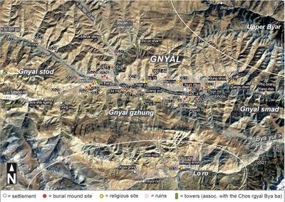
Fig. 4 The district of Gnyal in present-day Lhun rtse County.
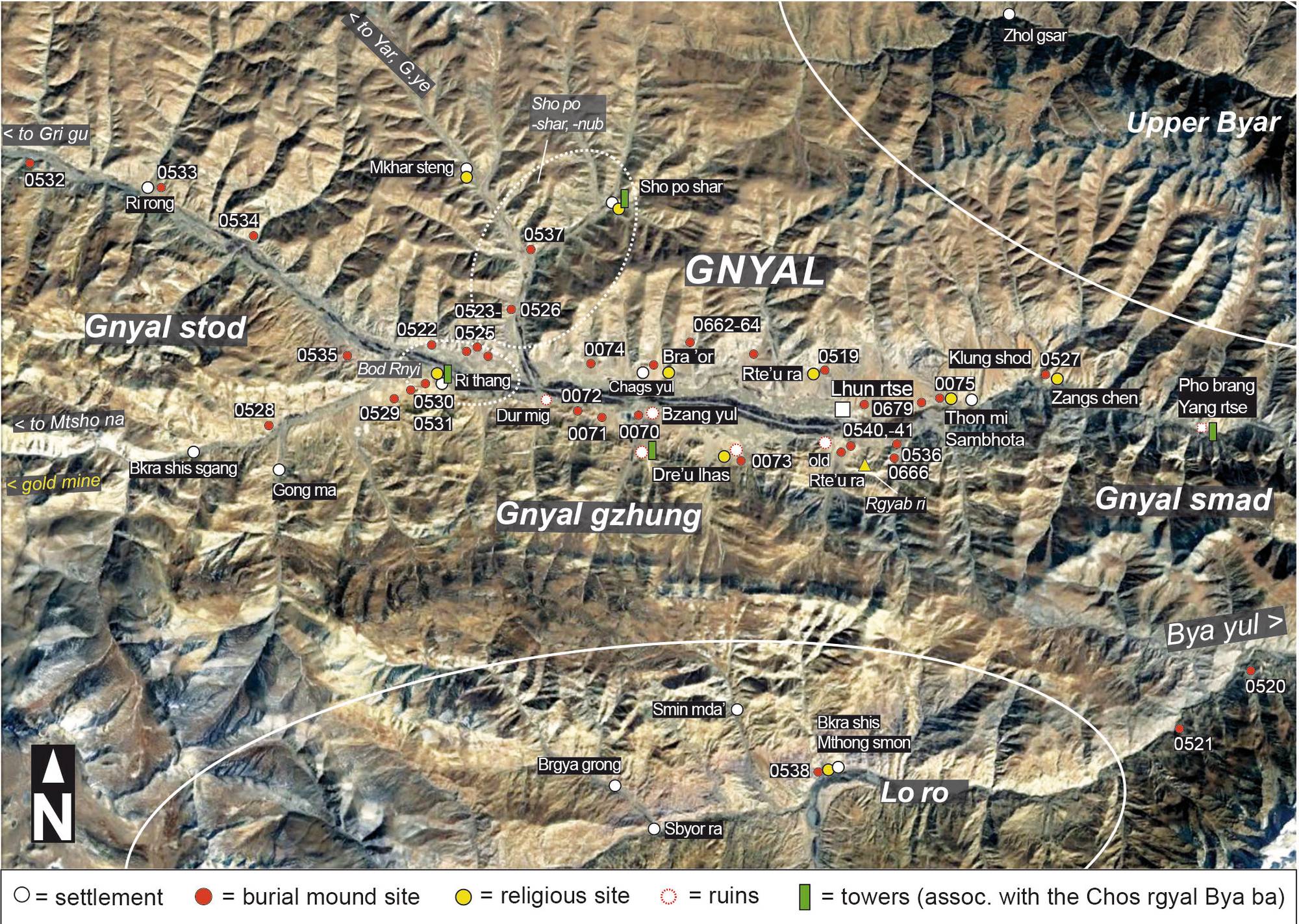
Fig. 4: The district of Gnyal in present-day Lhun rtse County. (Map: G. Hazod 2021; Satellite Photo: Google|Maxar Technologies (12/2010); modifications and additional data by the author)
