#0705: Ko kyim-2
- Town/Township
- Dbu ma thang
- Elevation
- 4500m
- Field Type
- FT-A
- Mound Type
-
MT-C
- Status
-
nv(sat)

Satellite Photo: Google, Maxar Technologies 2023 (02/2010); edited by Hazod 2023
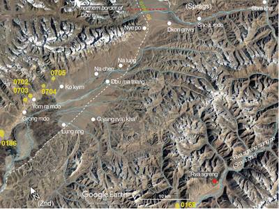
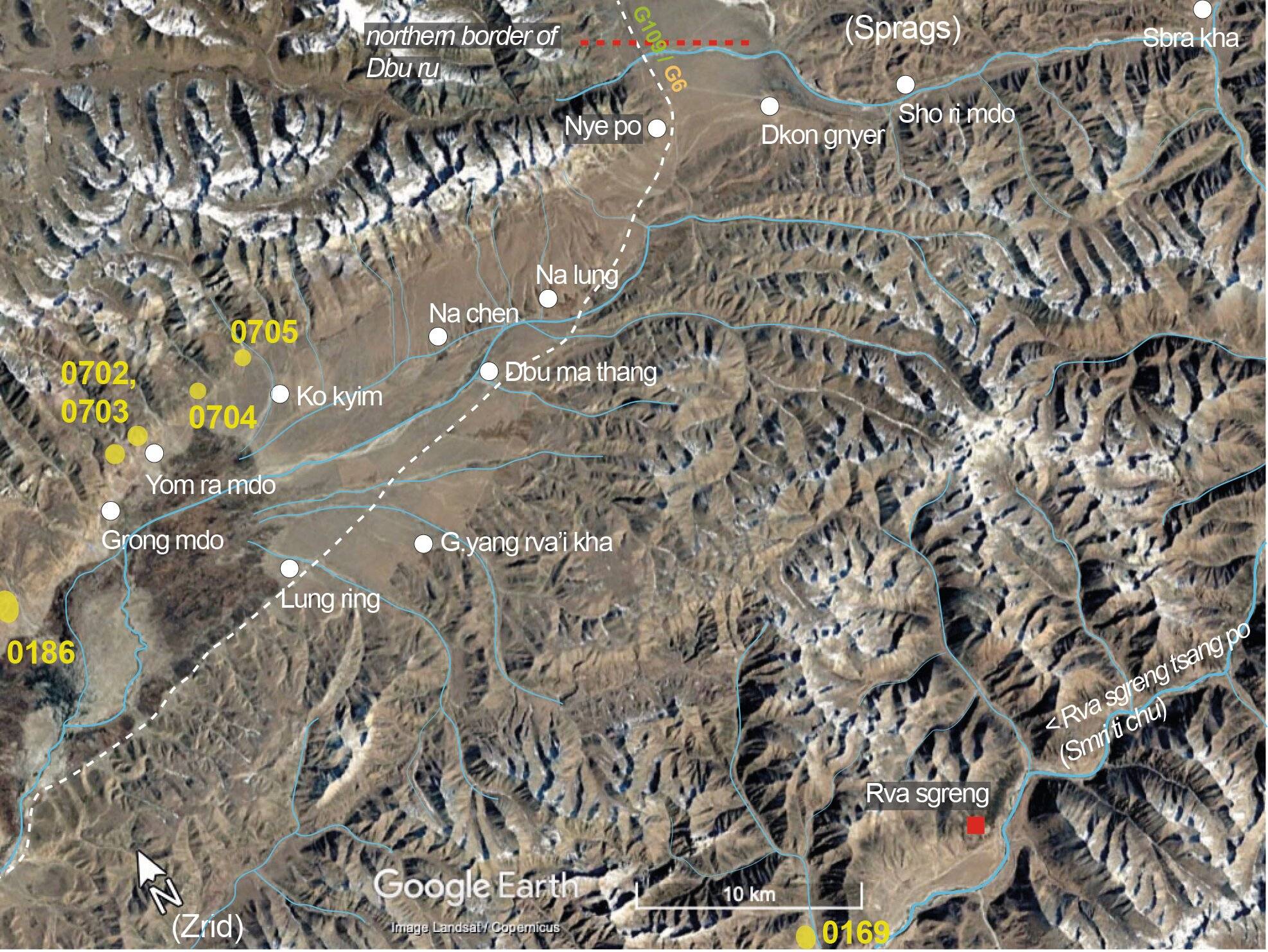
Fig. 1 The burial mound sites in the northern part of ’Dam gzhung.

Fig. 1: The burial mound sites in the northern part of ’Dam gzhung. (Satellite Photo: Google, Maxar Technologies 2023 (02/2010); edited by Hazod 2023)

Satellite Photo: Google, Maxar Technologies 2023 (02/2010); edited by Hazod 2023
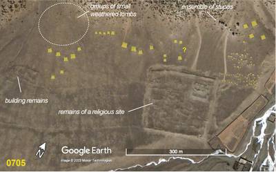
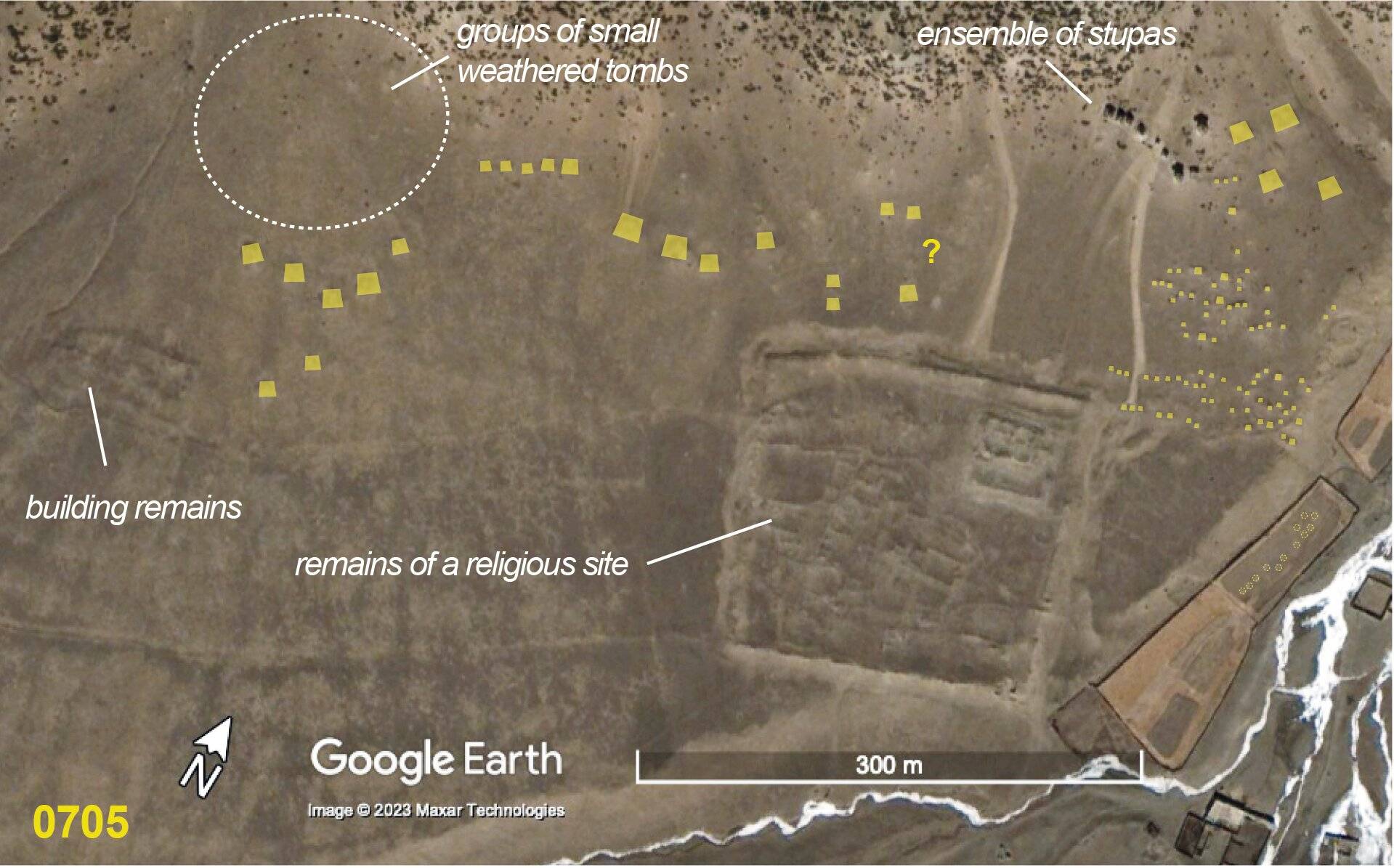
Fig. 2 The grave field #0705.

Fig. 2: The grave field #0705. (Satellite Photo: Google, Maxar Technologies 2023 (02/2010); edited by Hazod 2023)