Destruction 2
Historical sat-photographs are evidence of the rapid changes of cemeteries due to nearby construction activities: The examples of the fields #0367 and #0131a.
Satellite Photo: Google, DigitalGlobe; edited by Hazod
Fig. 1 Modern constructions in the field of Yab in Lower Stod lung (#0367).
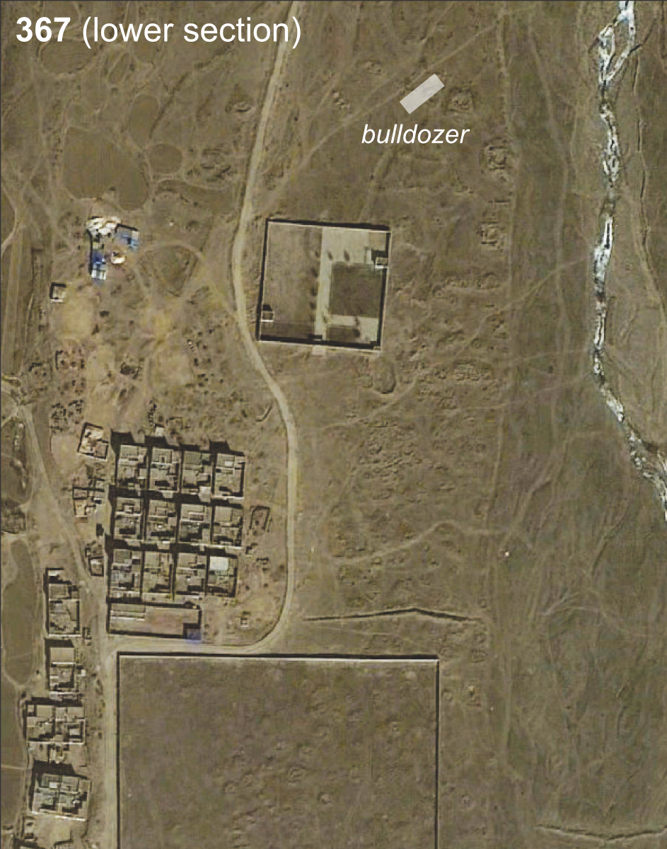
Fig. 1: Modern constructions in the field of Yab in Lower Stod lung (#0367). (Satellite Photo: Google, DigitalGlobe; edited by Hazod)
Photos: Hazod 2014
Fig. 2 Bulldozing the cemetery (6/2014); see Fig. 1
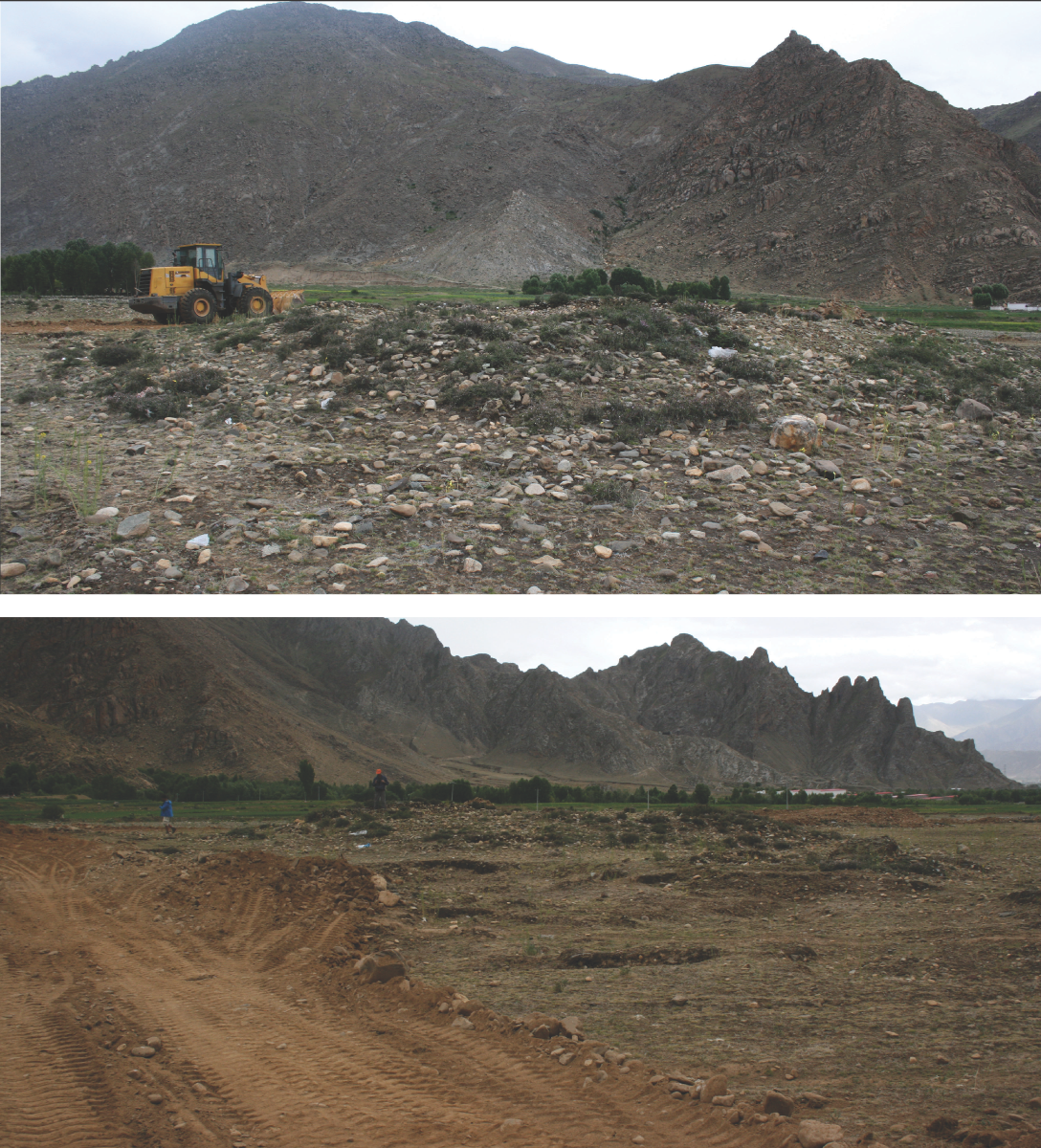
Fig. 2: Bulldozing the cemetery (6/2014); see Fig. 1 (Photos: Hazod 2014)
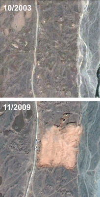
Satellite Photo: Google, DigitalGlobe
Fig. 3 Sat-photographs of one and the same section of #0367 in 2003 and 2009.
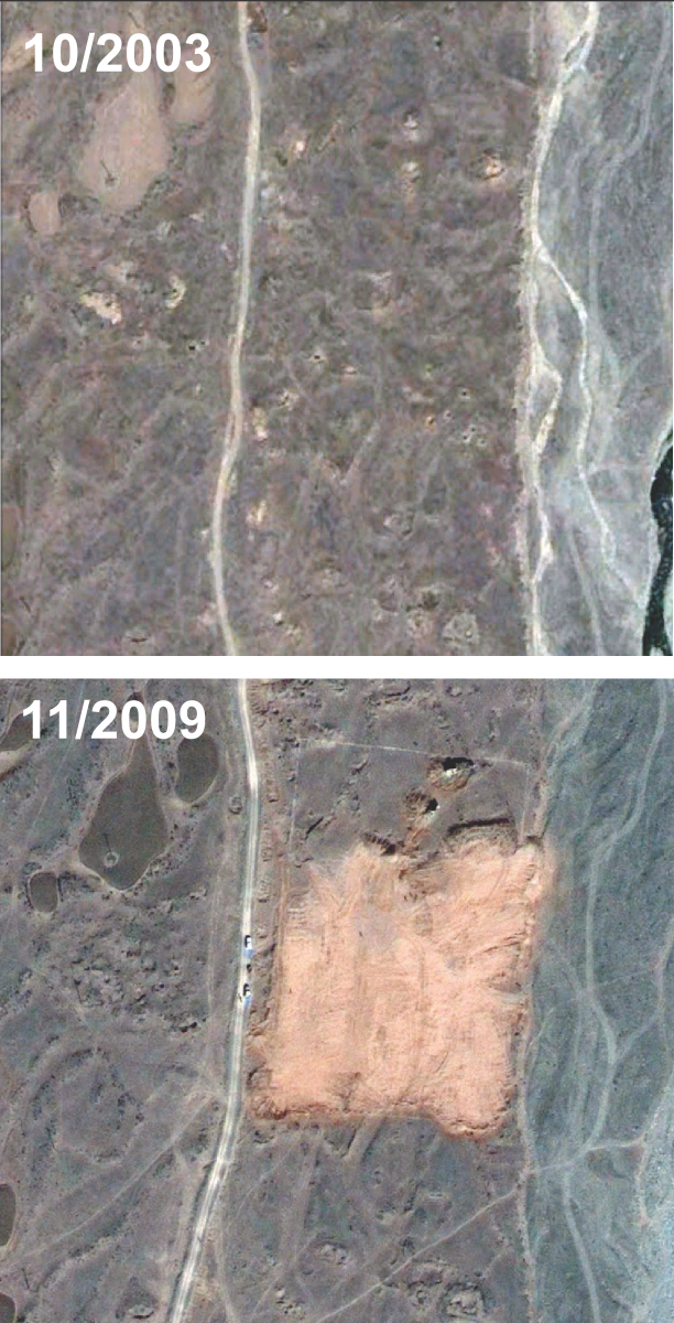
Fig. 3: Sat-photographs of one and the same section of #0367 in 2003 and 2009. (Satellite Photo: Google, DigitalGlobe)
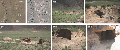
Photos: Hazod 2014; Satellite Photo: Google, DigitalGlobe; edited by Hazod
Fig. 4 Photographs related to two tombs of #0131a – one of the fields of Lo in Upper Skyid shod. Last image: part of the central chamber of M-b. Note the stone slab covering the walled chamber.
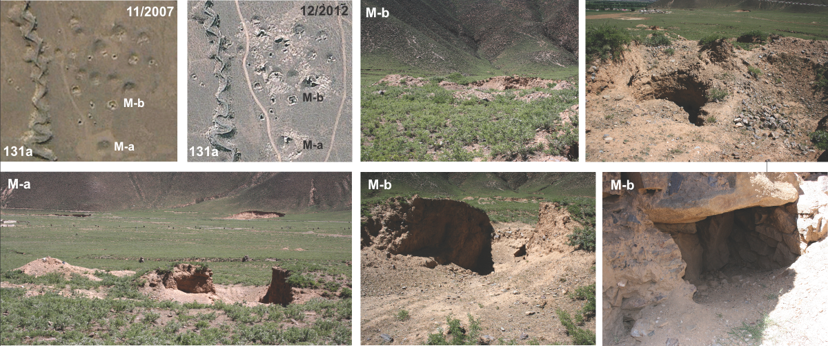
Fig. 4: Photographs related to two tombs of #0131a – one of the fields of Lo in Upper Skyid shod. Last image: part of the central chamber of M-b. Note the stone slab covering the walled chamber. (Photos: Hazod 2014; Satellite Photo: Google, DigitalGlobe; edited by Hazod)